
16 February 2018
Ramban: massive landslides cut-off the Kashmir Valley for four days (includes a dramatic video)
Posted by Dave Petley
Ramban: massive landslides cut-off the Kashmir Valley for four days
Heavy rainfall in the last few days has triggered landslides in northern India. Most notably, the key highway that links Srinagar and Jammu has been blocked, meaning that the Kashmir Valley has in effect been cut off for four days. Landslides have occurred on multiple roads, including the highway to Ladakh and the Mughal road. Many vehicles are stranded on the roads, causing significant hardship to many people.
The Kashmir Monitor has a good image that illustrates the scale of the problem:
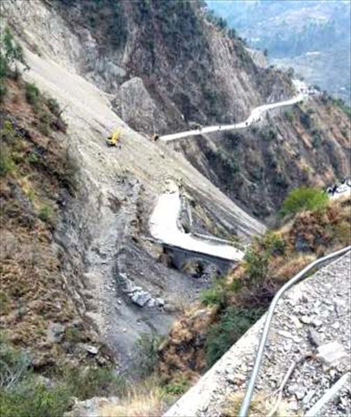
Landslides on the highways in northern India. Image via The Kashmir Monitor
.
Most impressive is the video below, which was posted onto Youtube yesterday, showing a very major slope collapse. The associated text indicates only that this occurred at Ramban:
.
This appears to show a really very large slide. Google Earth suggests that Ramban is an area with a very high density of landslides.
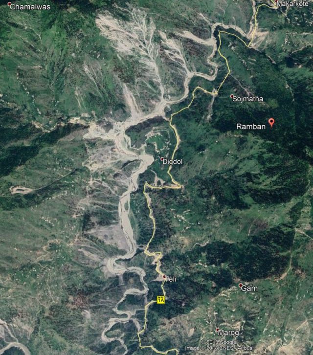
Google Earth image of the Ramban area of northern India, showing the high density of landslides.
.
It is not clear to me as to why this zone is so landslide prone. Fortunately the highway is on the east side of the river whilst most of the landslides are on the west. Nonetheless this must be an extremely challenging section of road to maintain. The image above shows the very high level of risk to the Border Roads Organisation (BRO) in the clearance of these landslides.
I have noted serious landslides in Ramban previously. For example, in March 2016 there were reports of landslides in the Ramsu area of Ramban, whilst in June 2011 there was a fatal landslide in the Banihal area of Ramban. And finally, in September 2014 a major landslide was captured on video in the Ramban area that was causing substantial disruption on the road.
 Dave Petley is the Vice-Chancellor of the University of Hull in the United Kingdom. His blog provides commentary and analysis of landslide events occurring worldwide, including the landslides themselves, latest research, and conferences and meetings.