25 January 2014
The Seti River rock avalanche in Nepal – a new image from the International Space Station
Posted by Dave Petley
The Seti River landslide
In early May 2012 an enormous rockfall occurred on the flanks of Annapurna IV in Nepal, triggering a debris flow that traveled rapidly down the Seti River towards the town of Pokhara. The debris flow struck many small communities en route, killing more than 60 people. Over the following days we used this blog to piece together an account of the events – this has subsequently been shown to be correct, although there is still some discussion about the transition from rock avalanche to debris flow. I for one am surprised to hear that the small rockslide downstream played a key role in generating the flow, and would be interested in seeing the actual evidence for a lake behind the landslide dam.
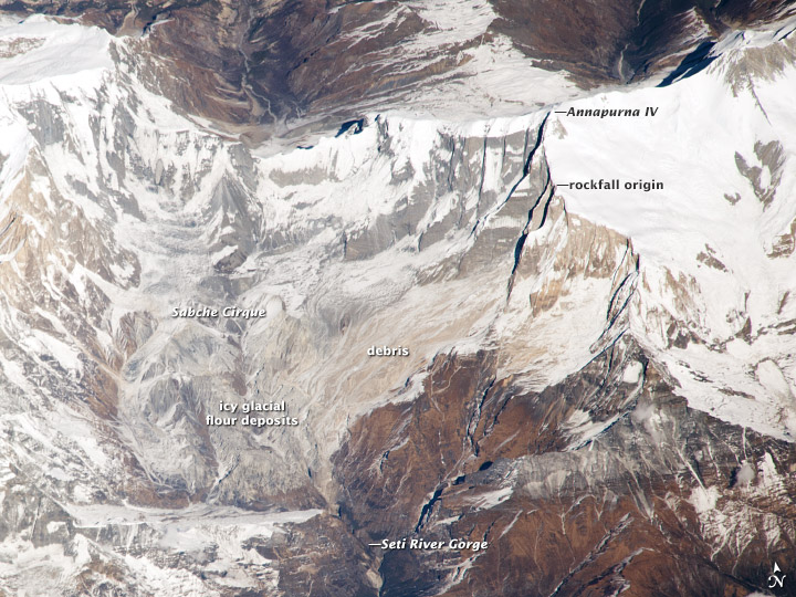
On 22nd December 2013 an astronaut from the International Space Station managed to photograph the rockfall site. NASA have now posted this image on their website, together with a slightly surprising account of how the sequence of events was pieced together, and who undertook this work. The image is quite lovely:
..
Whilst I’m not sure that this new image adds a great deal to our understanding of the landslide, it does provide a stunning panoramic view of the site, which is surely one of the most interesting landslides of the last few years.


 Dave Petley is the Vice-Chancellor of the University of Hull in the United Kingdom. His blog provides commentary and analysis of landslide events occurring worldwide, including the landslides themselves, latest research, and conferences and meetings.