4 December 2009
Landslides along the Panama Canal
Posted by Dave Petley
The Panama Canal is truly one of the engineering wonders of the 20th Century. This 80 km long waterway was completed in 1914, cutting 13,000 km on the sea route between New York and San Francisco. However, the fearsome cost of the canal in human lives is jaw-dropping – it is estimated that 27,500 people lost their lives during construction, primarily as a result of malaria.
 However, it is less well-known that probably the largest technical problem arose from landslides that occurred in a section of the canal route known as the Gaillard Cut (sometimes called the Colebra Cut), which is the continental divide, about 13 km from the Pacific Ocean. Unfortunately, at the time of construction the strength of the rock was over-estimated, primarily because the engineers (understandably) did not anticipate that the materials would weaken due to oxidation after excavation.
The upshot was a series of large and very damaging landslides that caused the required amount of excavation to increase dramatically. There are two wonderful presentations available online of the problems that landslides caused along the Gaillard Cut, including contemporary photographs of the various failures. The first, prepared by J. David Rogers of the University of Missouri – Rolla is available here:
http://web.mst.edu/~rogersda/umrcourses/ge342/Panama%20Canal%20Landslides-Revised.pdf
The second, prepared by Maung Myat, is hosted at the same site as the above:
http://web.mst.edu/~rogersda/umrcourses/ge342/pancanal-rev.pdf
To give you a taste of the contents of these presentations, here are two images from the former, showing slides along the Gaillard cut:

More recently, the Panama Canal underwent a widening programme consisting of widening the watercourse to 192 m along the straight stretches and up to 222 m on the bends. This work was completed in 2001 to budget and on time. A 1988 review of the geotechnical challenges posed by this work is available here:
http://www.pancanal.com/esp/plan/estudios/ep-0008.pdf
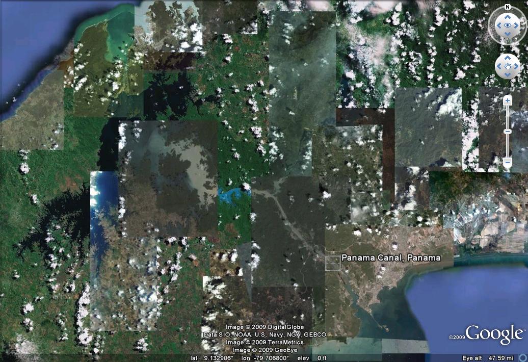
Today the satelite imagery gives no indication of the magnitude of problems posed by the Gaillard Cut:


 Dave Petley is the Vice-Chancellor of the University of Hull in the United Kingdom. His blog provides commentary and analysis of landslide events occurring worldwide, including the landslides themselves, latest research, and conferences and meetings.
Wow, it's really a challenge to deal with those mass movements. Recently I heard a talk by Eldon Gath on the palaeoseismicity of the Panamal Canal region, and he also mentioned (older) landslides. As far as I know the last significant earthquake in the area was in 1855, so the landslides you mentioned were not triggered by seismic shaking. However, there is a certain risk. It would be very interesting to date some older slides and see if they are related to earthquake occurrence in the past. The abstract can be found here (p. 32):http://www.baelo2009.org/