
4 February 2009
Virtual field trip – the Marcus landslide in Arizona
Posted by Dave Petley
The Arizona Geological Survey have created a rather nice virtual field trip and very useful virtual field trip about the Marcus landslide in Arizona. It is available here:
http://www.azgs.az.gov/MarcusLandslide_2008.shtml
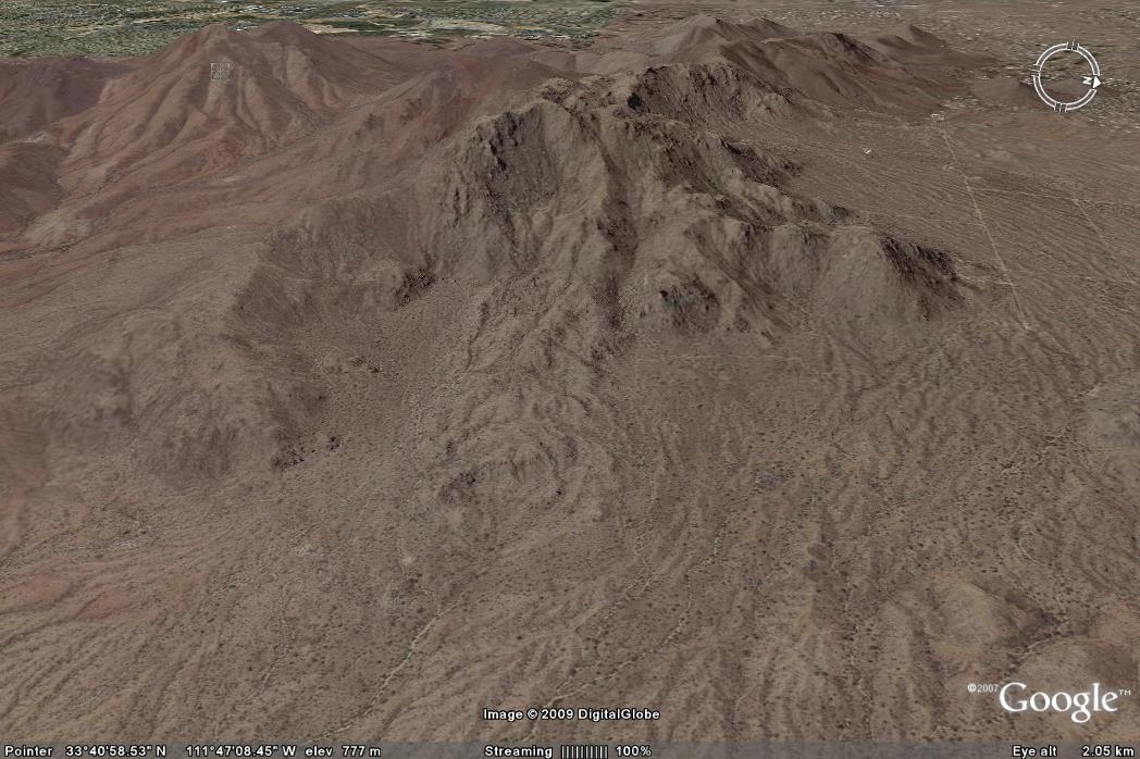
The slide is a 500,000 year old rock slide that has has a length of about 2 km from scarp crown to deposit toe (see Google Earth image below) and a deposit volume of about 5.25 million cubic metres. The elevation difference is about 500 m.
Two minor criticisms from me, though:
- The site does not give the lat/long of its location, which makes looking at it on Google Earth rather more difficult than it ought to be. The location of the crown is: 33°40’47.27″N, 111°48’1.31″W. The deposit extends almost due east from this point;
- The site states that “Poised for collapse, a heavy rain, a bolt of lightning, or an earthquake could have spontaneously triggered”. It is highly unlikely that lightning would trigger failure.
Finally, there is a paper in Geomorphology describing the landslide in more detail, including its dynamics, failure and age. It is available for downloading as a pdf here. There reference is:
Douglass, J., Dorn, R.I. and Gootee, B.F., 2004. A large landslide on the urban fringe of metropolitan Phoenix, Arizona. Geomorphology, 65, 321-336. doi:10.1016/j.geomorph.2004.09.022
 Dave Petley is the Vice-Chancellor of the University of Hull in the United Kingdom. His blog provides commentary and analysis of landslide events occurring worldwide, including the landslides themselves, latest research, and conferences and meetings.