
23 August 2011
Irene Reaches Cat 2 Status and Threatens Bahamas
Posted by Dan Satterfield
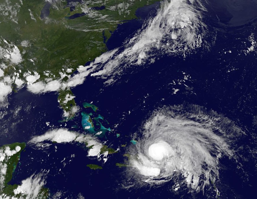 Hurricane Irene is now away from the Dominican Republic and is gaining strength rapidly this evening, as it moves toward the Bahamas. Intensity forecasts on any tropical system are very difficult but several of the more reliable models are indicating that Irene will reach Cat 3 or perhaps higher. A Category 3 storm is a major hurricane with winds of 154-177 km/hr (83-95knots).

The Hires WRF model is indicating a very intense storm near Savannah in 120 hours. This is just one of many solutions- use the NHC track as the most likely and remember the average error is 250 miles on a 5 day forecast.
Almost all of the track models are indicating Irene will hug the East Coast but there dies seem to be a rising risk for the Carolinas. The reason for the turn is a surface and upper level trough that will approach the east U.S. in 72 hours, and the winds ahead of the trough will steer Irene more toward the north. Climatology is on the side of those models forecasting a near miss over the Outer Banks of NC, but it’s too soon to tell.
The worst case scenario would be a Cat 4 or higher storm coming ashore in SC and then moving NE toward Charlotte and Washington/NYC. If it were moving fast enough the winds would still be quite high and devastating. This cannot be ruled out and NOAA is taking as many extra obs (from the air and ground) to feed into the NWP models tonight, and hopefully we will see a better clustering of tracks and higher confidence tomorrow.
If you are in the Bahamas, you have a mean one coming- take precautions now. If you’re in Florida, you are not yet out of the woods, but if it stays just offshore (and that is by no means certain yet) then the winds will not be as strong and damage will not likely be severe. The highest winds are near the eye and on the right side of the eye from the storms perspective.
 Dan Satterfield has worked as an on air meteorologist for 32 years in Oklahoma, Florida and Alabama. Forecasting weather is Dan's job, but all of Earth Science is his passion. This journal is where Dan writes about things he has too little time for on air. Dan blogs about peer-reviewed Earth science for Junior High level audiences and up.