4 April 2020
Debris flows after wildfires – an example from the Milli Fire in Oregon
Posted by Dave Petley
Debris flows after wildfires – an example from the Milli Fire in Oregon
It is well established that debris flows can be a major hazard in the aftermath of wildfires. There are numerous examples, but perhaps the best known are the 2018 Montecito debris flows in California, which killed 23 people in 2018. As wildfire frequency and intensity increases as a result of global heating, understanding this phenomenon better is important.
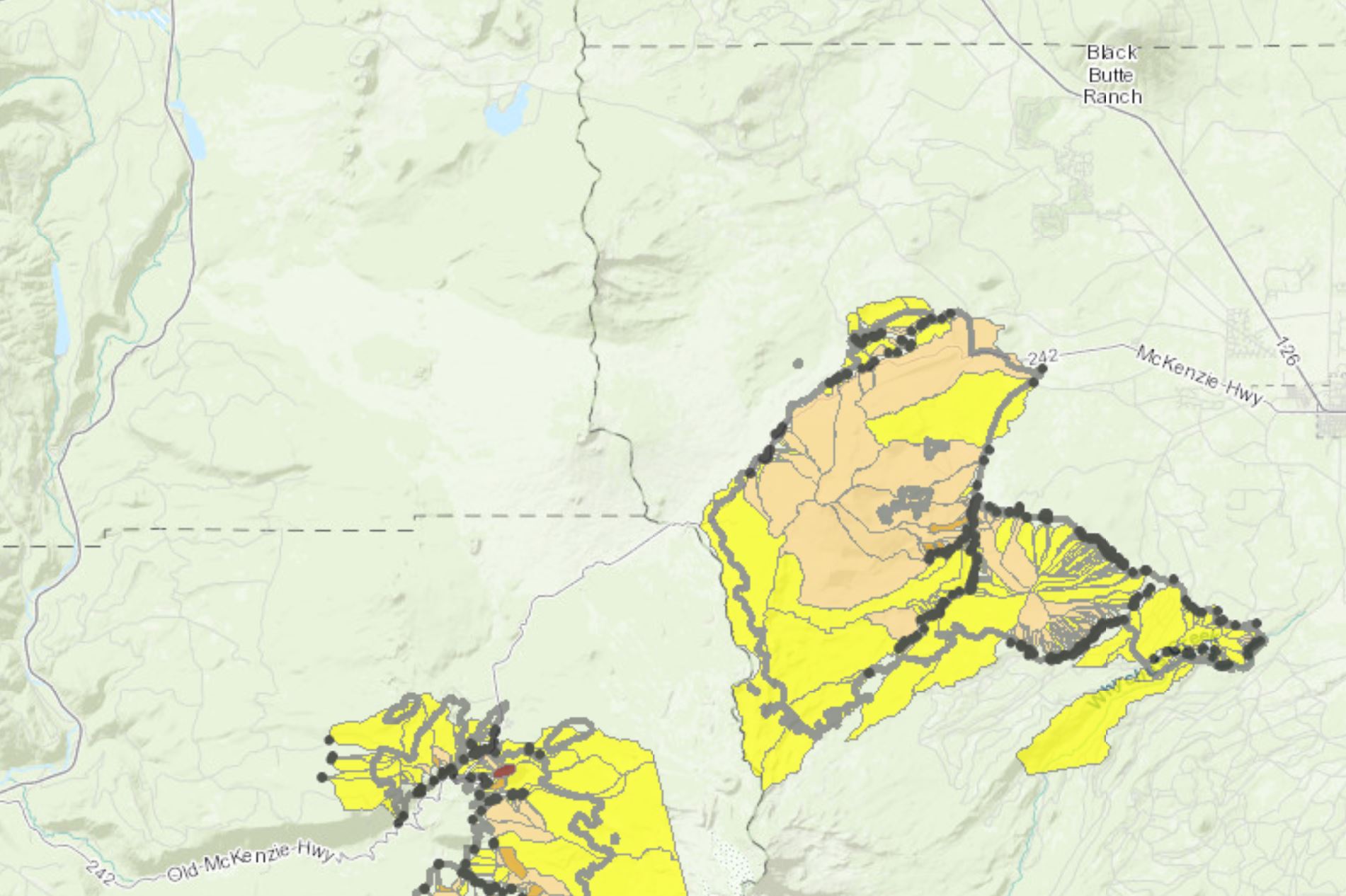
There is a very nice case study just published in the journal Landslides (Wall et al. 2020) examining a large-scale debris flow after the Milli Fire in Oregon. This was a large fire – it burnt about 97 km² of forest in the Oregon Cascade Range in 2017. The fire was initiated by a lightning strike on 11 August 2017 and the fire was not fully contained until 24 September. In the aftermath of the fire, the USGS highlighted that there was a significant risk of debris flows in the fire burnt area:-
.
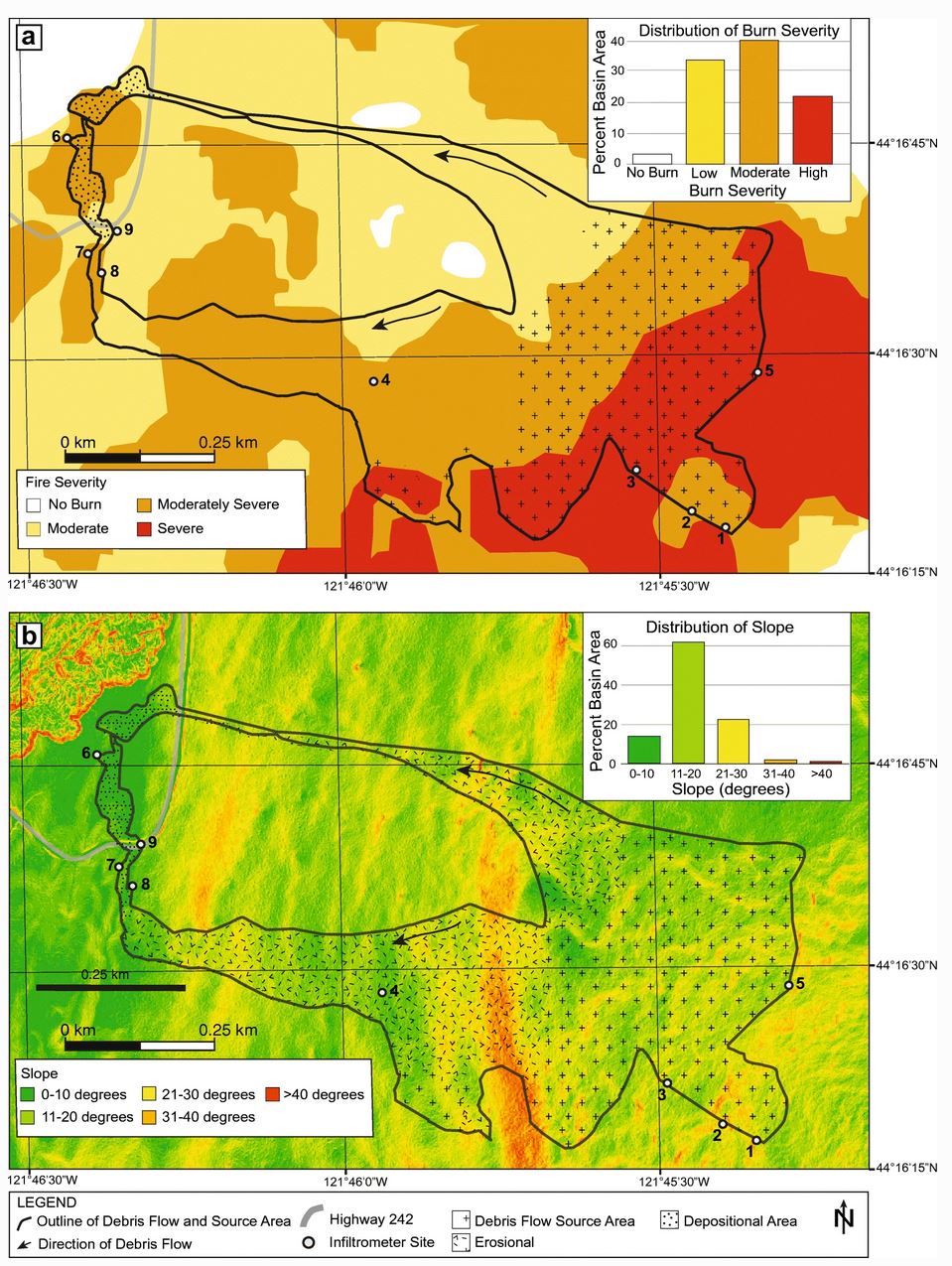
On 20 June 2018 the burnt area suffered significant rainfall. A debris flow initiated on the flanks of Black Crater, traveling 1.5 km. In the paper, the authors provide the following maps that show the scale of the debris flow, the topography over which it traveled and the degree of burn in the Milli Fire:-

Maps of the Milli Fire debris flow from Wall et al. (2020).
.
As the first map shows, much of the debris flow source area was severely burnt in the Milli Fire. The authors note that by summer 2018 very little revegetation had occurred. The authors measured the infiltration capacity of the soil – the mean value was 23.6 mm per hour. During the storm, local rain gauges measured a peak rainfall rate of 27.9 mm per hour. The authors deduce that the excess rainfall generated overland flow that initiated the debris flow.
In the conclusion, Wall et al. (2020) give a stark warning about debris flow risk in the mountainous areas of the NW USA:
As fire seasons lengthen and fire intensity increases across the Pacific Northwest as a result of climate change, this region may become more susceptible to runoff-initiated debris flows.
Sadly, this applies in may other areas as well.
Reference
Wall, S.A., Roering, J.J. & Rengers, F.K. 2020. Runoff-initiated post-fire debris flow Western Cascades, Oregon. Landslides.


 Dave Petley is the Vice-Chancellor of the University of Hull in the United Kingdom. His blog provides commentary and analysis of landslide events occurring worldwide, including the landslides themselves, latest research, and conferences and meetings.
Neat stuff, add in Sentinel-2/sentinel-3 multispectral layers, may provide an interesting parallel and aligned data results. With the ability to see regular changes (with proactive monitoring) in these indicators a predictive scale of incidence for future issues may be possible.
We can possibly look to Southern California mountains for an example of debris flows in a dry or drying climate. Possibly the sere mountain topography was more moist and forested in prehistoric times.
Flying over Southern California you see widespread alluvial fans, or should they be termed prehistoric debris flows?