28 June 2022
Always fly with the window blinds up: the West Salt Creek landslide
Posted by Dave Petley
Always fly with the window blinds up: the West Salt Creek landslide
Over the last couple of weeks I have been in the USA and Canada in a series of meetings. The trip involved a fair amount of flying – not the easiest thing to do at the moment, but that’s a different story. On one leg I flew from the East to the West coast in a day time flight.
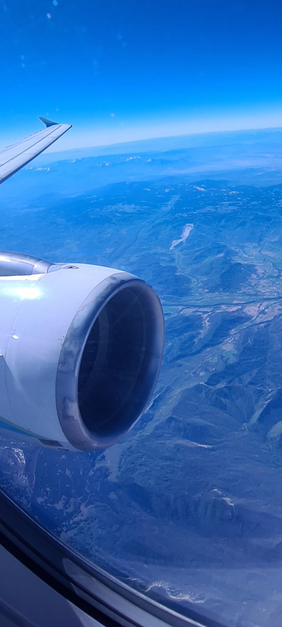
The USA is a stunningly beautiful country, so a long transcontinental flight is a treat. I am always slightly depressed that most people fly with the window blinds up – indeed on this flight the majority of the blinds were closed from boarding to landing. I was staring out the window when, by complete coincidence, I saw this:-

The West Salt Creek landslide in Colorado.
.
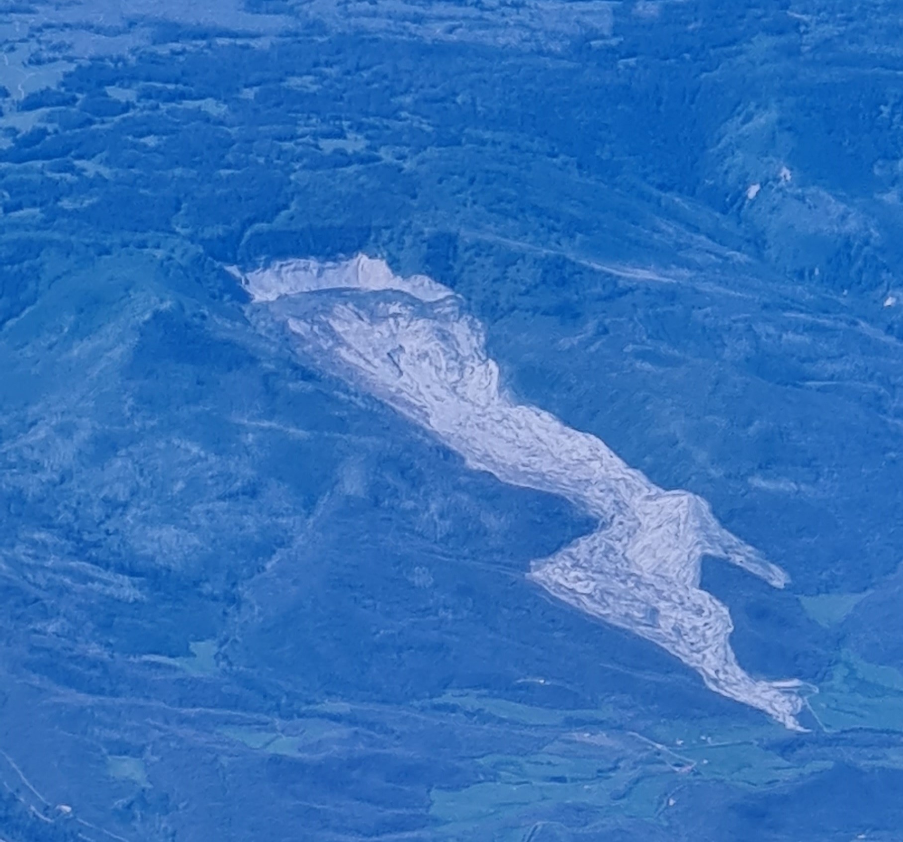
This is the failure that has become known as the West Salt Creek landslide, which occurred in Colorado on 25 May 2014. I was able to get a better image of the landslide:-

The West Salt Creek landslide in Colorado
.
The landslide has been described in detail in a report published by the Colorado Geological Survey (White et al. 2015). The slide is about 4.5 km in length, involving 29 million cubic metres of rock and debris. It is estimated that the landslide reached a peak velocity of 72 km/h. Secondary failures increased the volume to about 55 million cubic metres.
Sadly three men – Wes Hawkins, Clancy Nichols and Danny Nichols – were killed in the landslide. Their remains have not been recovered from the site.
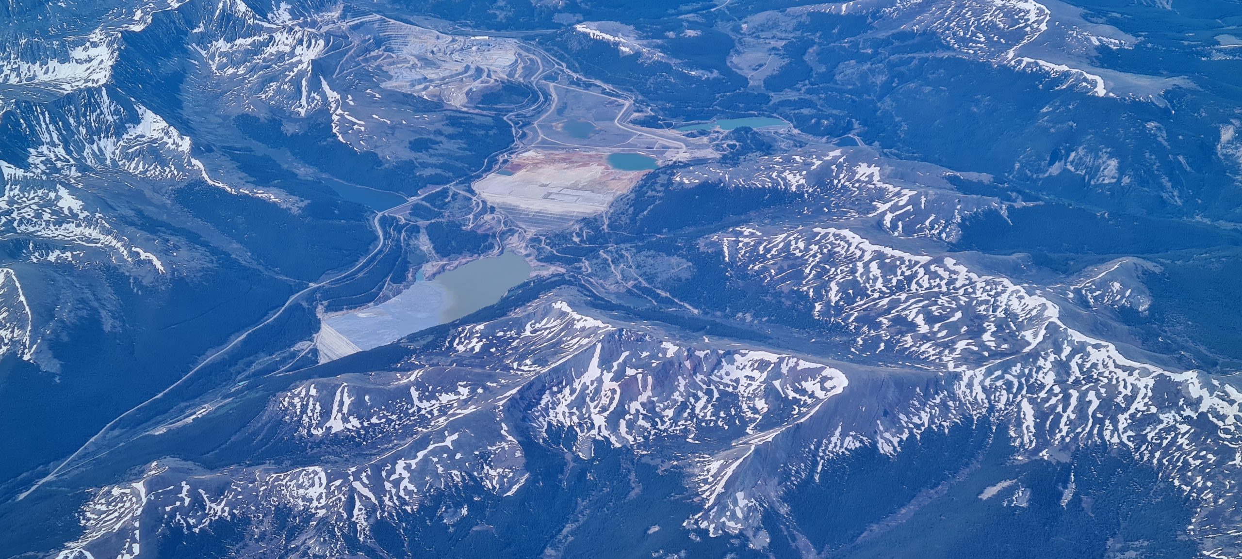
On the same trip I saw two other features of interest. First is this large tailings facility:-

A tailings facility in the US.
.
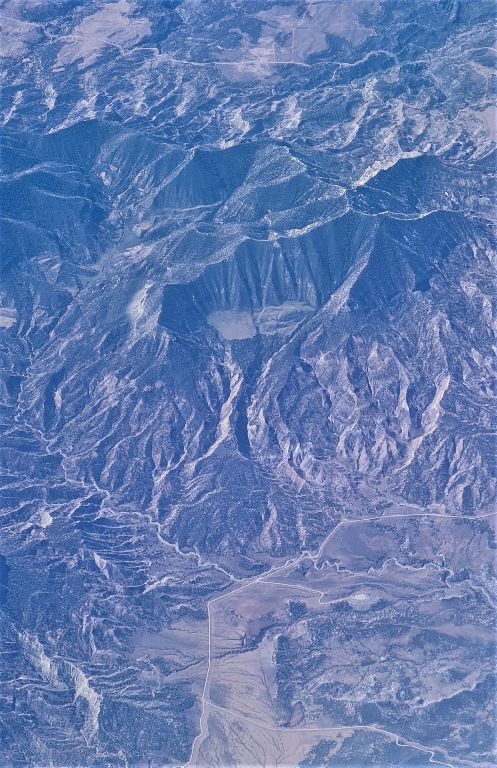
And second is this fascinating ancient landslide in the mountains:-

An ancient landslide in the US.
.
I’m sure that this ancient landslide has been studied properly – does anyone know the details? I would love to visit.
.
Reference
White, J.L., Morgan, M.L. and Berry, K.A. 2015. The West Salt Creek Landslide: A Catastrophic Rockslide and Rock/Debris Avalanche in Mesa County. Colorado Colorado Geological Survey, 45 pp.


 Dave Petley is the Vice-Chancellor of the University of Hull in the United Kingdom. His blog provides commentary and analysis of landslide events occurring worldwide, including the landslides themselves, latest research, and conferences and meetings.
My wife always brings a book because I’m usually looking out the window most of the flight.
I’ve been looking at the Climax Mine tailings since I was a child and with suspicion ever since I started reading your blog. Was the unidentified ancient slide between Climax and the West Salt Creek slide, which I remember, or further west? I’ll be studying my maps to see if I can locate it.
It is too bad you weren’t flying a bit further north over Rocky Mountain National Park yesterday (June 28). There was a fairly large rock slide on Hallett Peak in a fairly popular area of the park. Details are still fairly sparse, but some videos are starting to be posted on various social media outlets. It will be interesting to see some before and after aerial images.
https://www.eptrail.com/2022/06/29/video-hallett-peak-rockslide-in-rocky-mountain-national-park-on-june-28-2022/
I like to have a road atlas with me when I fly. Have seen so many spectacular places from the air, and can map out future road trips!
What caught my eye on your second image was the distinctive square lake/ perched plain half way up the facing mountain, with large gully incisions in perpendicular directions. This reminds me of Square lake near Pinaus Lake, SE of Kamloops BC which was empounded by a prehistoric landslide, making the lake square. It was great fishing – long ago in a clueless youth. Now its closed off since the entire mountain sides north of Pinaus lake are moving. Distinctive square lakes or plateaus half way down a deeply gullied mountain are a dead give away to big slumps beneath and nearby. (in the Cache Creek terraine). I wonder if this plateau was created by the same mechanism and has filled in with sediment..but was sliced in half once before when a former bigger lake/plateau gave way. I finally saw the hummocky large landslide in the lower right that you were likely referring to in your picture. Quite an active area in the past – likely when it has had significant intense rainfall events over a relatively barren landscape. Where is this located? Great views thanks.