7 April 2010
Widespread landslides in Rio de Janeiro and Niteroi in Brazil
Posted by Dave Petley
Over the last few days the city of Rio de Janeiro, and its twin city Niteroi just across the water, have been affected by extremely intense rainfall – a reported 288 mm in 24 hours. The upshot has been a series of flash floods and landslides that have killed over 100 people so far. More heavy rain is expected today.
O Globo has produced an interactive map of the Rio and Niteroi regions in which readers are invited to add information about their area. This gives a first order estimate of the impacts of the rainfall:
Alagamento = flooding;
Lixo, lama e avores = garbage, mud and trees
Deslizamento = landslide
Postos de deocoes = Donation stations
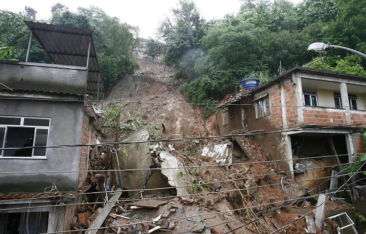
It appears that many of the slides have affected the shanty towns constructed on the hillsides around the cities. Over the next few days I will try to collate a list of the major fatality inducing landslides, but for now
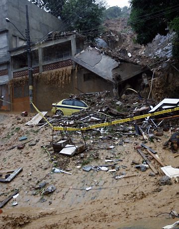
O Globo has these two images of landslides that have affected residential areas:
Strangely, it is often a slightly abstract image that captures the horror of the event. O Globo also has this exceptionally powerful photograph:
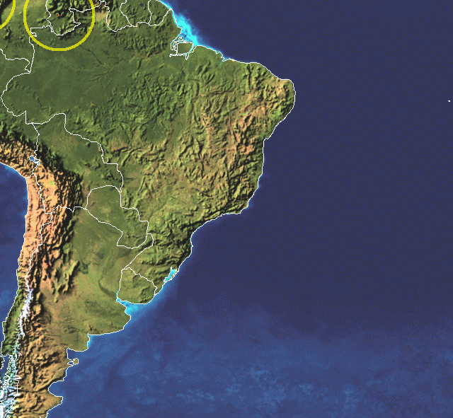
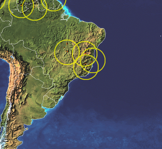
Finally, it is interesting to note that this rainfall event appears not to have been captured by the TRMM landslide warning system:
24 hours of rainfall (the yellow circles indicate those areas considered to be at risk of landslides):
More later.



 Dave Petley is the Vice-Chancellor of the University of Hull in the United Kingdom. His blog provides commentary and analysis of landslide events occurring worldwide, including the landslides themselves, latest research, and conferences and meetings.
Nice post. Quite a mess there.By the way it is "O Globo" in Portuguese, not "El Globo".
Hello Dave,I´ve been following your blog for a while now since I work in hazardous areas for landslides here in Brazil. Nice posts…árvores = treespostos de doações = donation posts