4 November 2016
The Nera River landslide triggered by the Norcia earthquake
Posted by Dave Petley
The Nera River landslide triggered by the Norcia earthquake
In my post earlier today I briefly mentioned the large Nera River landslide, which blocked the Nera River near to the town of Visso. Salvatore Martino has kindly sent an update on this landslide:
The M 6.5, 30 October earthquake occurred in Central Italy triggered hundreds of landslides among which a rock slide of about 600,000 cubic metres (estimated by preliminary field surveys) along the Nera gorge (close to the Visso village) about 8 km from the epicenter. The landslide debris dammed the Nera River, generating a lake upstream. Presently the river is flowing again, by-passing the natural dam. The landslide seems to have a structural control since the detached rock block was delimited by well developed joint systems. The fallen blocks probably mobilized previously existing debris cover so increasing the volume of debris which filled the river.
Here there are some images of the landslide event collected by the CERI research team and the Google Earth view of the gorge before the landslide collapse.
These are the images:
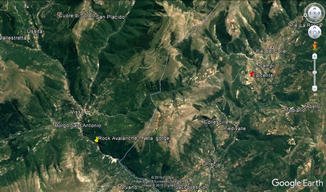
A Google Earth image of the location of the Nera River landslide
.
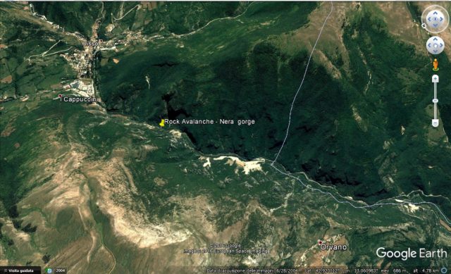
A Google Earth image of the location of the Nera River landslide prior to the failure
.
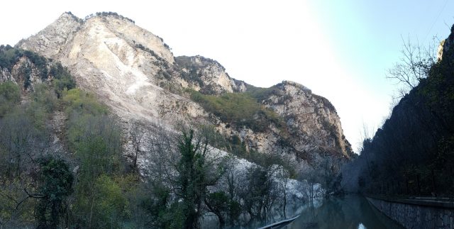
The Nera River landslide by Salvatore Martino and the CERI research team
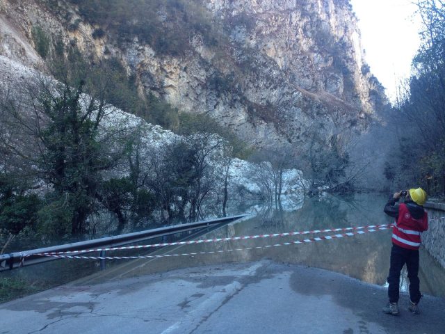
The Nera River landslide by Salvatore Martino and the CERI research team
.
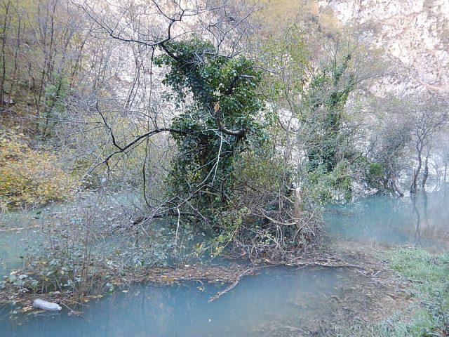
The Nera River landslide by Salvatore Martino and the CERI research team
.
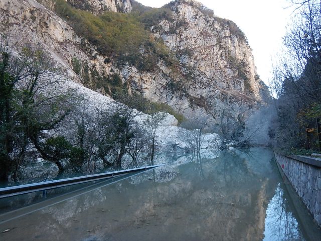
The Nera River landslide by Salvatore Martino and the CERI research team


 Dave Petley is the Vice-Chancellor of the University of Hull in the United Kingdom. His blog provides commentary and analysis of landslide events occurring worldwide, including the landslides themselves, latest research, and conferences and meetings.