20 May 2010
Surprising landslides from the Amazonas earthquake in Peru
Posted by Dave Petley
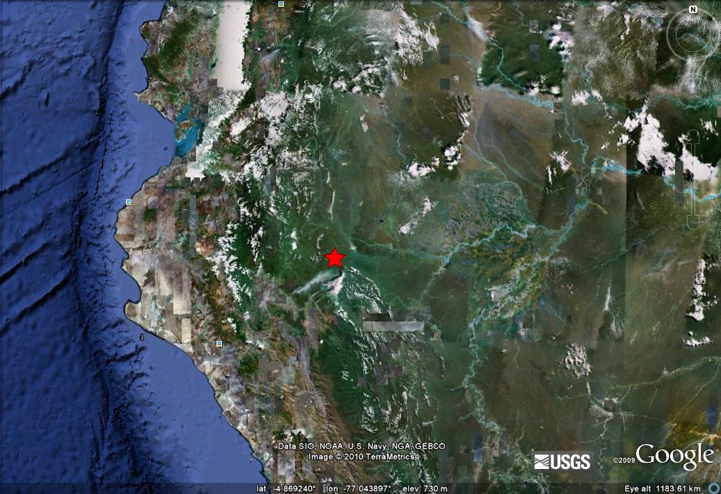
On Tuesday evening at 11:45 pm Peru suffered a Mw=6.0 earthquake 125 km (80 miles) NNW of Moyobamba in Amazonas. This is the USGS location on a Google Earth image:
The USGS record suggests that this earthquake was very deep – 132 km – which means that such an event would not normally be associated with landslides. However, the local paper La Republica is reporting that a large section of a road between Bagua and Tarapoto was severely damaged. They have several images that appear to show very serious damage. Some of that damage may well be due to liquefaction, but this image undoubtedly shows very large-scale landslides:
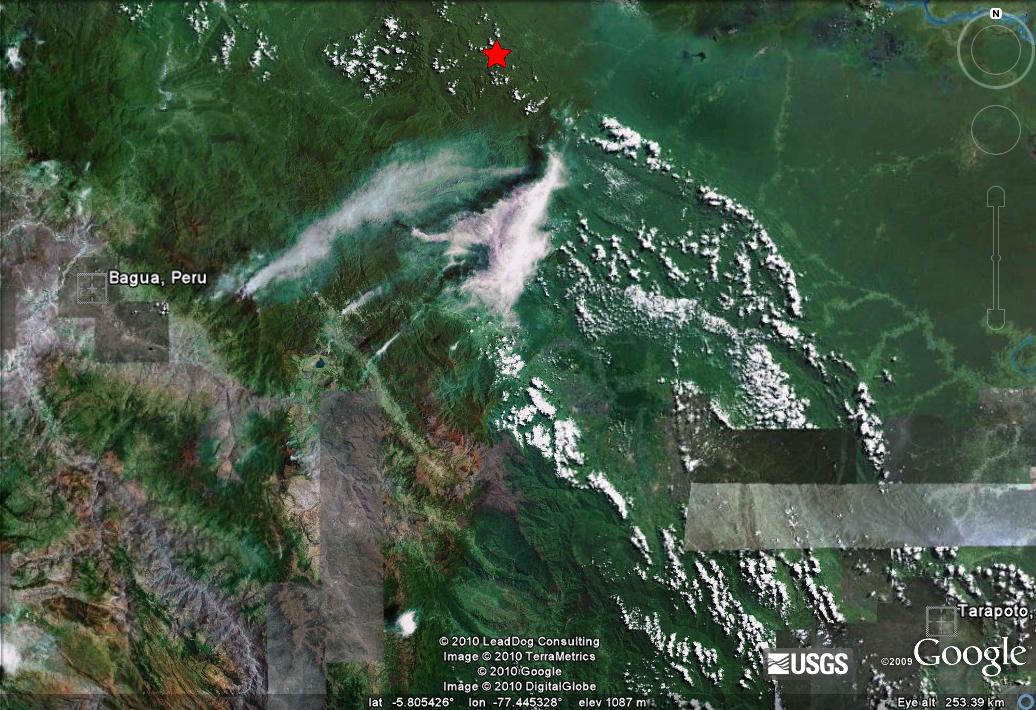
The Google Earth image below shows the location of the two towns and the earthquake epicentre. I am unsure where on the road between the two this landslide event occurred:
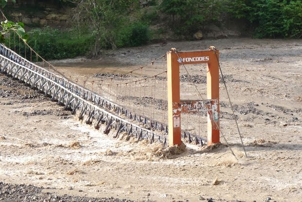
This image is also intriguing. I can think of several different explanations for how this came about. I wonder what the true story is:
That such large landslides and other damage should occur in an earthquake of this magnitude and so deep is very surprising. I wonder what is going on here.


 Dave Petley is the Vice-Chancellor of the University of Hull in the United Kingdom. His blog provides commentary and analysis of landslide events occurring worldwide, including the landslides themselves, latest research, and conferences and meetings.
Hello Dave,There is a view approximately locating the landslide ("Deslizamiento") on page 3 of http://sinpad.indeci.gob.pe/UploadPortalSINPAD/COEN_Noticia/INFORME%20DE%20EMERGENCIA%20N%C2%BA%20295%20-%2020-05-2010%20%20COEN-SINADECI%20_1_.pdfThanks for your very interesting blog.
Hi Dave,Great blog! Check this out. http://www.youtube.com/watch?v=pVhZhPVbXBoA brief video report by Enlace Nacional about heavy rainfalls near Tarapoto in April 2009 (!) affecting the carretera Fernando Belaunde Terry incl. landslides etc (the same road now in question after the earthquake of May 18). — People in the commentary section of La Republica and El Comercio wrote of very saturated soils in the region.
I crossed over the affected area between Bagua Grande and Pedro Ruiz the day after the earthquake. The road has been totally swept away by the landslide, it is only passable on foot, approximately 1km of rough terrain. Any heavy rain will probably cause further slides, the area seemed pretty unstable to me. I've written about the crossing on my blog – if you want to see some more photos then feel free to check it out:http://tarapotolife.wordpress.com/2010/05/22/northern-peru-earthquake-%E2%80%93-stuck-in-bagua-on-the-way-to-tarapoto/
Tony has written to me two considerations and precisely1. in the quake time there has been no massive rain2. he was surprised that the steep sides of the affected area either side of what was the road were relatively stable after a so little time (he have seen many rain-triggered landlsides, I suppose)So it seems clear that this landslide has been triggered by the quake. But the shake map shows a shskmap wich does not exceed the lower VI degree.How is it possible for a so low shake triggering a so made landlside?