16 February 2010
An update on the Italian landslide(s)
Posted by Dave Petley
The large landslide in southern Italy that was graphically caught on camera (see the video in my earlier post) has generated a great deal of interest – indeed this site has had its busiest ever day. Details of the slide are still quite sketchy, but this is what we know so far:
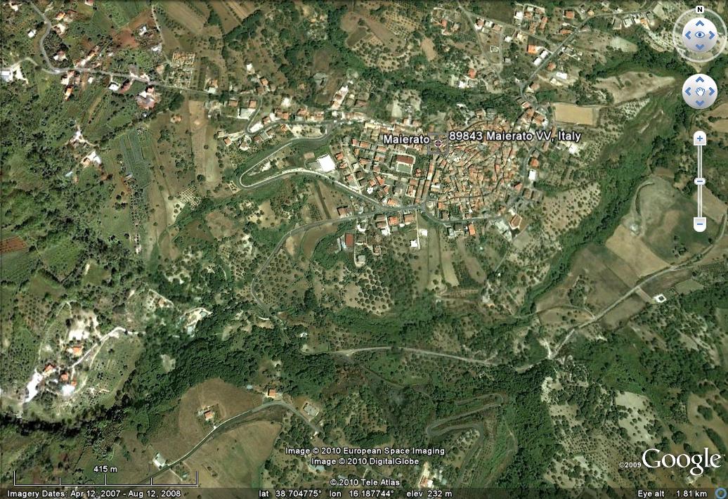
First, the media are confusing two different slides in the same general area of Calabria – in fact there were about 100 altogether, but two are directly affecting towns. The one in the video occurred on the outskirts of Maierato, which is this town:
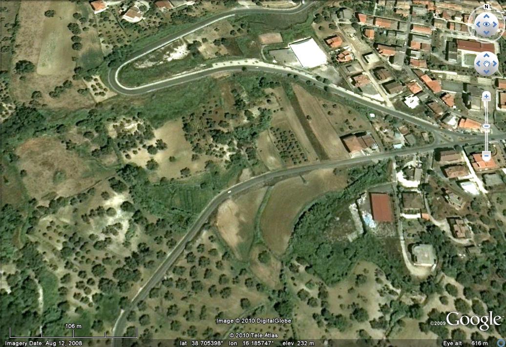
 It appears that the slope had been moving for some days, and there are some indications that it was in distress well before this. The slide appears to have affected the area shown on this image, although I am waiting for clarification of this:
 Interestingly, as Jonas van Rutte has pointed out to me, the roads near the headscarp appear to have been recently repaired, judging by the Google Street View images here. No-one was killed or injured in this landslide, although 2300 people have been evacuated from their homes.
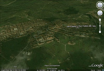
The second slide occurred at San Fratello in Sicily, which is this town:
 This slide appears to have damaged the centre of the town, leaving 1500 people homeless. The level of damage is high (image from Corriere della Sera):


 Dave Petley is the Vice-Chancellor of the University of Hull in the United Kingdom. His blog provides commentary and analysis of landslide events occurring worldwide, including the landslides themselves, latest research, and conferences and meetings.
I have cousins living on the via aluntina in san fratello – were people evacuated from this street?
Soemone linked to your blog on the Wikipedia landslide page and talkpage yesterday, which might account for some of the traffic maybe? Great blog, by the way.
Here's a Youtube video of the aftermath which will help you to position it: http://www.youtube.com/watch?v=vJtYTbQecNE
Where was the photo at the top of your blog (under 'Dave's Landslide Blog') taken? Can you make it so when you roll your cursor over it the information comes up? Thanks
In street view (summer '09) there are two traffic signs indicating that the streets are closed due to a landslide. This means that the area has been active for at least two years.(http://cbk0.google.com/cbk?output=tile&panoid;=9GeZRXqRAHt_PJpIKeEnyg&zoom;=$%5Blevel%5D&%78=$%5Bx%5D&%79=$%5By%5D&cb;_client=earth)
In the 'aftermath, helicopter flyover video it looks like many of the buildings are unfinished / unoccupied.If they are new I wonder to what extent they may have unbalanced the ground.If deserted it suggests this has been anticipated for a while.
What is also interesting is the fact that there is never dust coming up. Everything was wet down to the grounds!
My heart goes out to the people of San Fratello in this moment of strife. My grandfather was born there; I have relatives there who I am sure have been displaced. Rather than place blame as some do, let us pray for the safety and welfare of the affected people.
The one available video (and all other photographic documentation) of the Maierato landslide appear to be forgeries. Whatever happened there has to be questioned and investigated – but that's another matter. For now, I trust that geologists may help determine with their own set of criteria that the available footage of that landslide is unrealistic. http://z6.invisionfree.com/Reality_Shack/index.php?showtopic=14&view;=findpost&p;=1442309Thanks for your kind attentionSimon Shack
Simon Shack Comment No 9: Are you mad? Look at the aftermath video [http://www.youtube.com/watch?v=vJtYTbQecNE] and better still, visit Maierato and see for yourself. It happened. Perhaps you are confused because the longer of the two versions of the landslide video (as opposed to the aftermath video) isn't in chronological order and so has clearly been edited, for TV presumably. But it happened, and the film shows how it happened. Go study Bigfoot or the Loch Ness Monster to better expend your conspiracy theory energies. You clearly have no understanding of geology and landslides.
Please visit the NASA Earth Observatory page for satellite imagery on this landslide:http://earthobservatory.nasa.gov/IOTD/view.php?id=43160
There's a NASA Earth Observatory Image of the Day shot of the landslide area, with a 'before' one for comparison, here: http://earthobservatory.nasa.gov/IOTD/view.php?id=43160&src;=eoa-iotd