8 November 2012
First news and images of landslides from the M=7.4 earthquake in Guatemala yesterday
Posted by Dave Petley
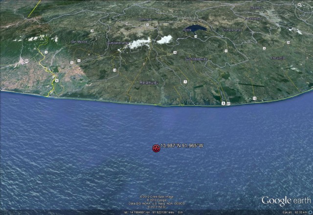
The M=7.4 that struck just offshore western Guatemala yesterday is now believed to have killed at least 48 people, with more people thought to still be buried in the rubble. The location of the epicenter of the earthquake, as measured by the USGS, indicates that there is high ground within the area that might be expected to have suffered high peak ground accelerations (as the Google Earth perspective view below shows), indicating that landslides are likely:
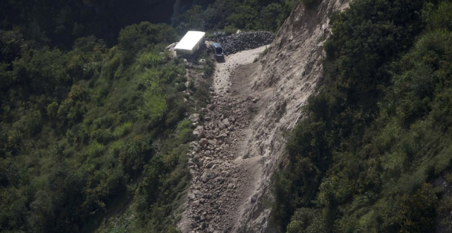
Inevitably, the area affected by landslides is both remote and inaccessible in the aftermath of the earthquake, so a proper understanding of the landslides will take some time. In the meantime, there is some evidence that landslides have been a significant problem. The BBC has two images that show landslides. The first appears to be a simple rockslope failure:
.
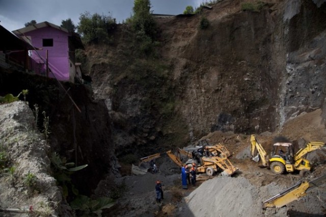
Whilst the second is a slope failure in an aggregate quarry that is reported to have claimed seven lives:
.
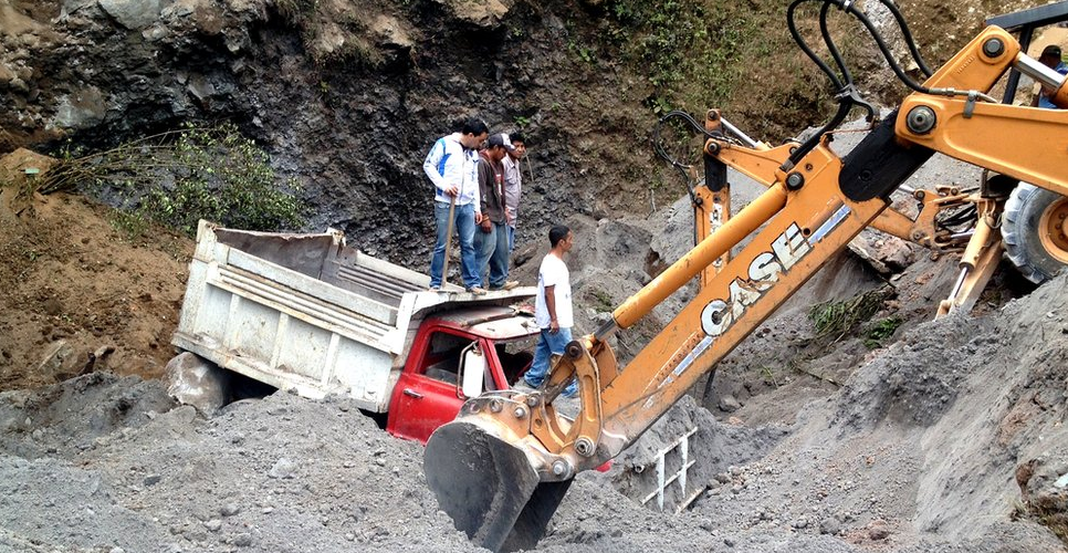
The Washington Post has another picture of what I assume is the same site:

http://www.washingtonpost.com/world/the_americas/powerful-earthquake-strikes-guatemala-border-area-near-mexico-killing-at-least-39-people/2012/11/07/90306926-2939-11e2-aaa5-ac786110c486_story.html
.
More images of the landslides will probably emerge in the next day or so.


 Dave Petley is the Vice-Chancellor of the University of Hull in the United Kingdom. His blog provides commentary and analysis of landslide events occurring worldwide, including the landslides themselves, latest research, and conferences and meetings.
I expect to see a lot of landslides along the roads; many of the highways (particularly along CA-1 and CA-2) are cut directly through unconsolidated pyroclastic deposits. They were pretty unstable-looking in some places that my field group drove through, and I wouldn’t be surprised to see some of those roads blocked by debris.