1 January 2011
GoSF10: The San Andreas Fault & Mussel Rock
Posted by Callan Bentley
“GoSF” = Geology of San Francisco
Happy new year. Take it from me, nothing cures a hangover like traipsing across a plate boundary and thinking about one of the best geology books ever written. Mountain Beltway has been reviewing three field trips I took the week before last to check out the geology of San Francisco and neighboring areas. The overall plan (now complete) was to cover:
Fractures and the chemistry along them
The San Andreas Fault and Mussel Rock (today)
Our final stop on the two-year-college field trip was to the town of Pacifica, California, where the San Andreas Fault runs off the edge of the land and into the Pacific Ocean, running parallel to the Golden Gate Bridge and eventually coming ashore again adjacent to Point Reyes. (It runs underneath preternaturally-straight Tomales Bay.)
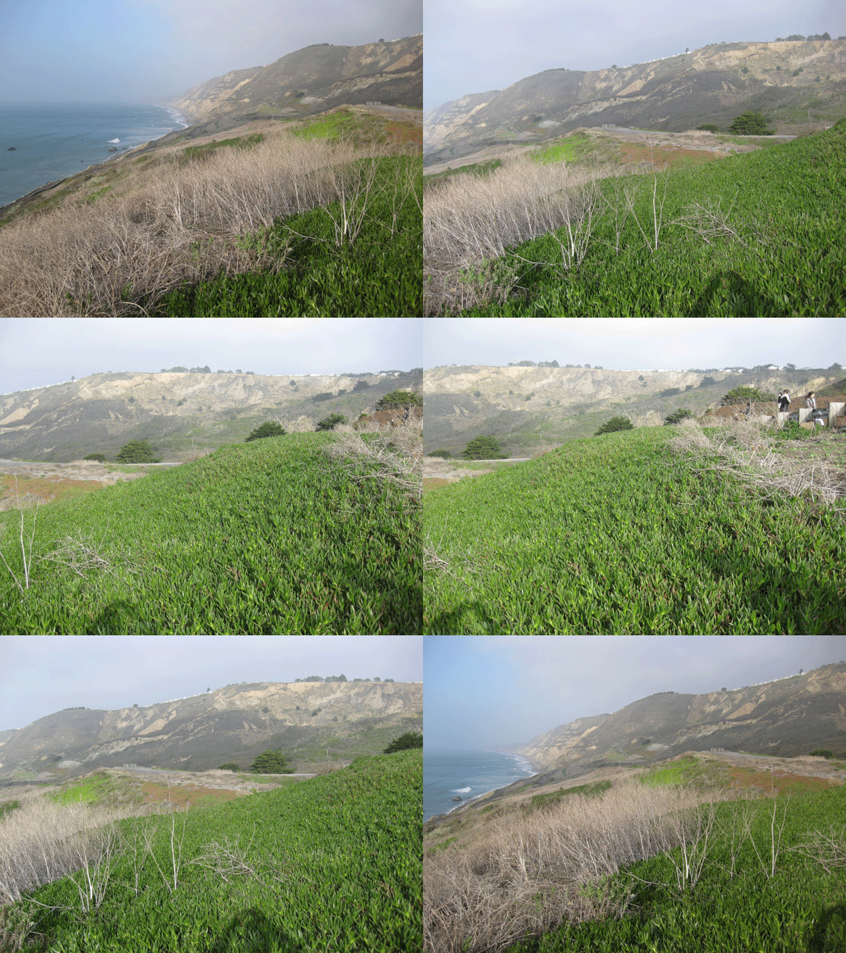
Here’s an animated view over the area where the San Andreas drops into the sea. Perspective shifts from the north to the east:

The viewpoint is looking from the Pacific Plate, across the transform (right lateral) plate boundary at the North American Plate. The land surface jumps up roughly along that boundary. Along that high bluff (landslide scarp) you will see a bunch of houses perched:

…Except where you don’t.
The area of trees at top center-right is an area where the houses have already tipped over the edge. As this bluff retreats, the other houses will disappear too. Nice view while it lasts, though.
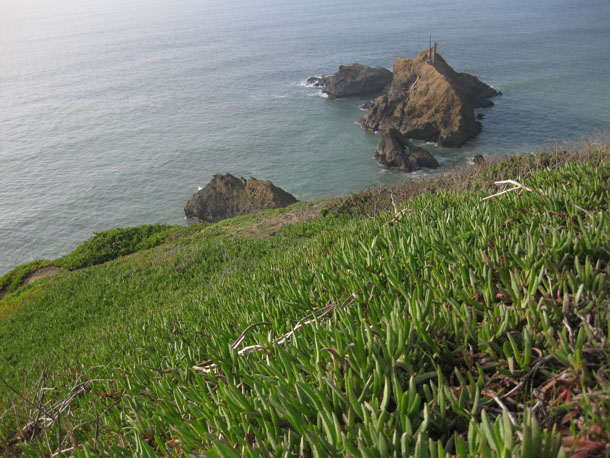
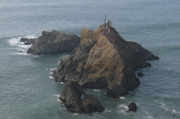
The houses on the bluff look west over an icon of the San Andreas Fault and geological folklore, Mussel Rock:

Mussel Rock is the site of the opening vignette of John McPhee’s Assembling California. He states (enigmatically to the non-geologists):
Mussel Rock is a horse.

As any geologist will tell you, a horse is a displaced rock mass that has been caught between the walls of a fault. This one appeared to have got away. It seemed to have strained successfully to jump out of the continent.
It was a nice homage to McPhee, I thought, for me to make a pilgrimage (however brief) to this spot which I first read about so many years ago.
Thanks for joining me on this journey through a few of the rocks that San Francisco and its surrounding areas have to offer. What a great place to learn about geology!


 Callan Bentley is Associate Professor of Geology at Piedmont Virginia Community College in Charlottesville, Virginia. He is a Fellow of the Geological Society of America. For his work on this blog, the National Association of Geoscience Teachers recognized him with the James Shea Award. He has also won the Outstanding Faculty Award from the State Council on Higher Education in Virginia, and the Biggs Award for Excellence in Geoscience Teaching from the Geoscience Education Division of the Geological Society of America. In previous years, Callan served as a contributing editor at EARTH magazine, President of the Geological Society of Washington and President the Geo2YC division of NAGT.
I was just there!!.. I think it was around the same time that you were!
Did McPhee mean “horst”?
http://en.wikipedia.org/wiki/Horst_(geology)
Nope — a horst is different — a block with grabens on either side. This is a horse — funny word — but it means basically a sheared out, displaced fragment in a fault zone.
[…] these pictures reminded me of the “GoSF” series I wrote last time I went to the AGU Fall Meeting (in 2010). I’m planning to attend the […]
Me and my brothers lived in Pacifica (since 1956) and use to fish all the beaches from Mussel Rock south and from Mussel Rock north. You could only get on the rock at low tide and when the tide came in, you were stuck until it went out again. During the 60s, we use to catch striped bass on the north and western sides. When the bass weren’t around, we fished for and caught rubber-lip and striped perch, sea trout, red and black rock fish and a few other species. Because our family was poor, the fish we caught from the beaches of Pacifica and Mussel Rock went a long way to provide protein. Now, I hear the ocean around this area is basically dead and there are very few fish of any kind to catch . . . no doubt falling in line with the rest of the world on a race toward death and destruction.