16 September 2017
Landslides from the Kaikoura Earthquake part 2: the Hapuku landslide
Posted by Dave Petley
Landslides from the Kaikoura Earthquake part 2: the Hapuku landslide
The longest runout slide triggered by the Kaikoura Earthquake was the Hapuku landslide, which occurred high up in the catchmnet of the Hapuku River. This landslide is at -42.237, 173.664 if you want to take a look on Google Earth. This landslide is a long (2.7 km) rock avalanche with a volume of about 10-14 million cubic metres. The elevation change from the crown (which is at the ridge top) to the toe is about 1,900 metres. To get a full appreciation of this landslide the Google Earth imagery is helpful:-
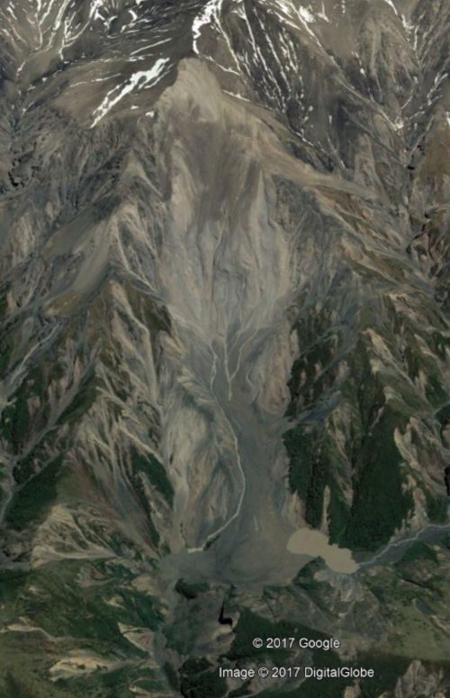
Google Earth image of the Hapuku landslide, triggered by the Kaikoura earthquake
.
As the image shows, the landslide crown is at the ridge line (which is common for earthquake triggered landslides), whilst the debris at the toe has blocked the valley.
This is a helicopter image of the upper portion of the landslide:
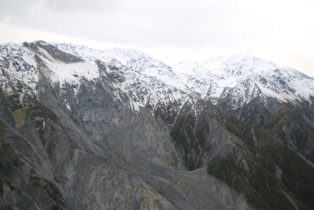
The upper portion of the Hapuku landslide
.
This suggests that the failure event in the upper portion of the landslide was complex, and that there is still some debris on the slope. The image below shows the track of the landslide to the toe:-
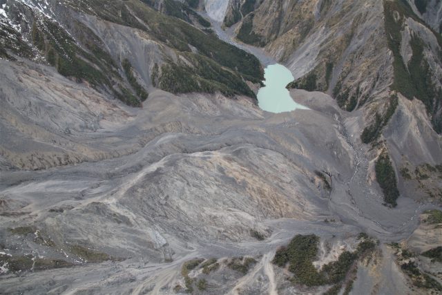
The track of the Hapuku landslide.
.
Note the small remaining lake caused by the blockage of the channel (the breach is also visible). The landslide has left a large amount of bare rock. This image shows the landslide debris:-
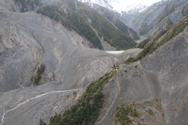
The deposit of the Hapuku landslide
.
The landslide dam has breached – this image shows the breach channel clearly:
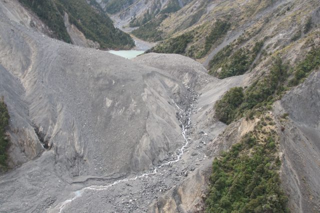
The breach channel from the Hapuku landslide dam
As with many other locations, this landslide has seen some secondary failures in periods of heavy rainfall since the Kaikoura earthquake:
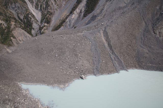
Tracks from secondary failures at the Hapuku landslide
.
As with the Seaward landslide, one of the fault ruptures runs through the scar of the this landslide. It is therefore unsurprising that there are many other landslides triggered by the Kaikoura earthquake in this area:
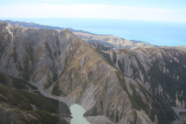
Other landslides triggered by the Kaikoura earthquake in the catchment of the Hapuku River


 Dave Petley is the Vice-Chancellor of the University of Hull in the United Kingdom. His blog provides commentary and analysis of landslide events occurring worldwide, including the landslides themselves, latest research, and conferences and meetings.