
16 June 2017
Vacationing at volcanoes: The Toba Caldera
Posted by Jessica Ball
On a recent vacation to Singapore, Dawn Ruth (@rockdoc11) and I took a side trip to northern Sumatra to see some volcanoes. And what better volcano to start with than one of the biggest calderas on Earth? Welcome to Toba Caldera!
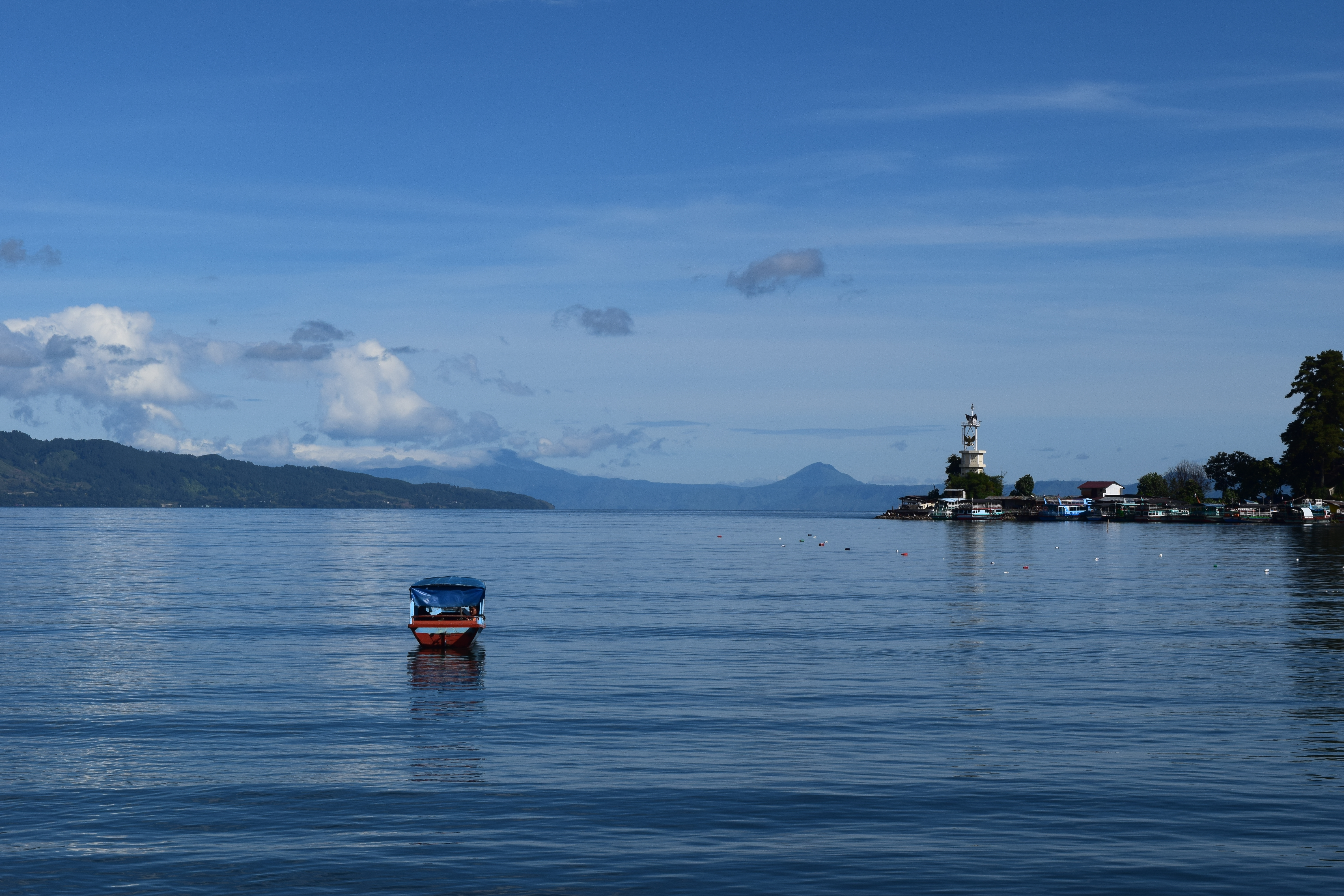
Lake Toba
Toba Caldera and its lake (Danau Toba) are located in the northern part of the Indonesian island of Sumatra. It’s the site of the largest known explosive volcanic eruption of the last 25 million years, and it’s what some people call a “supervolcano”. The eruption is classified as a VEI (Volcanic Explosivity Index) 8; for comparison, the 1991 eruption of Mount Pinatubo in the Philippines was a VEI 6.
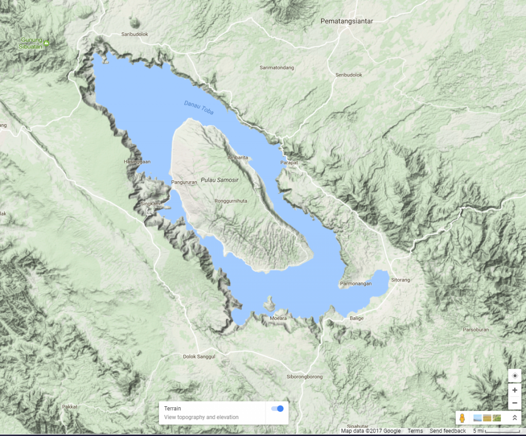
Google Map of the Toba Caldera and lake (click for a link a live Google Map)
“Supervolcano” is an overused term, but when you visit Toba – and especially when you get down into the caldera itself – you understand why it’s used. Toba is BIG.

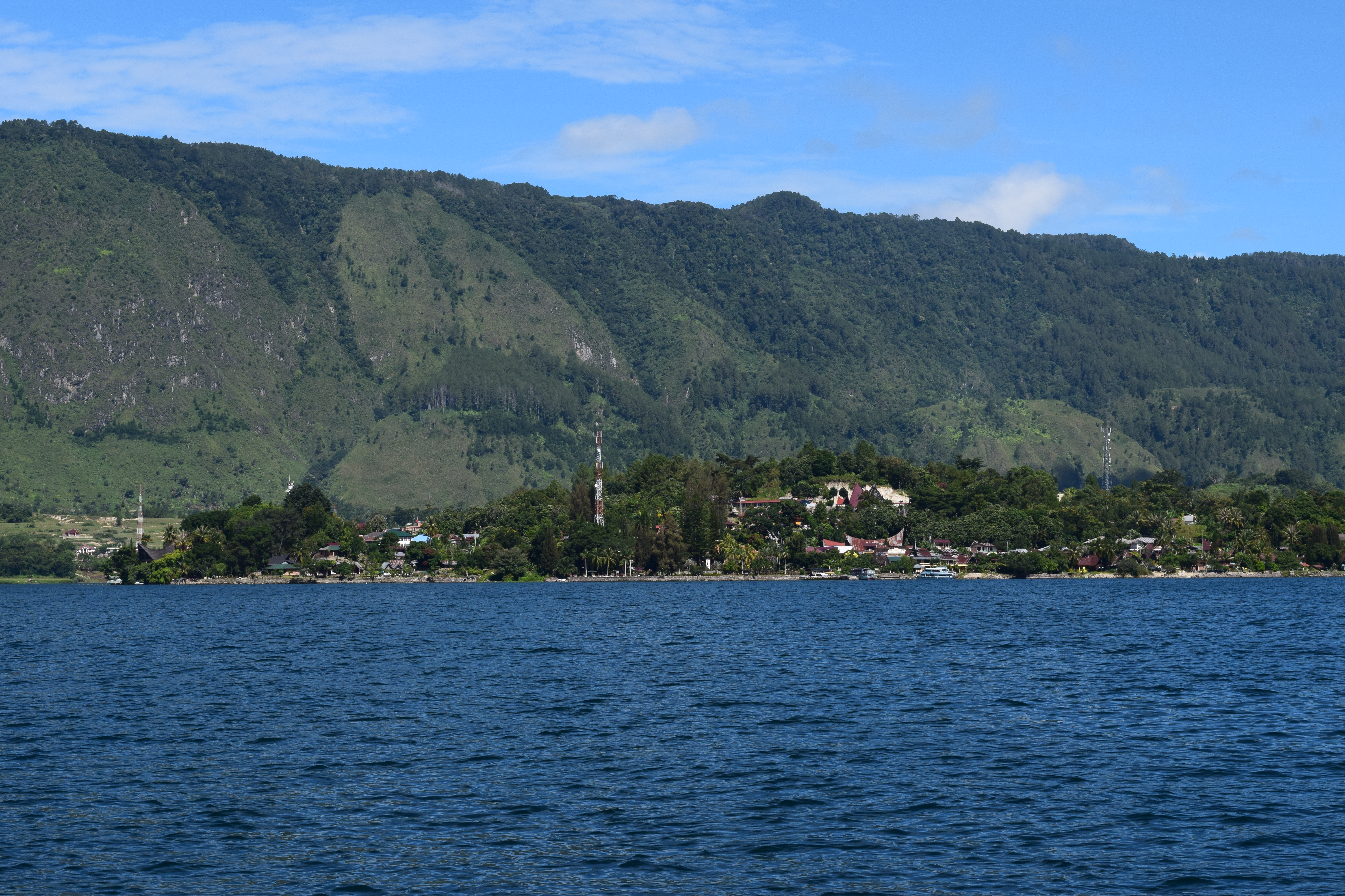
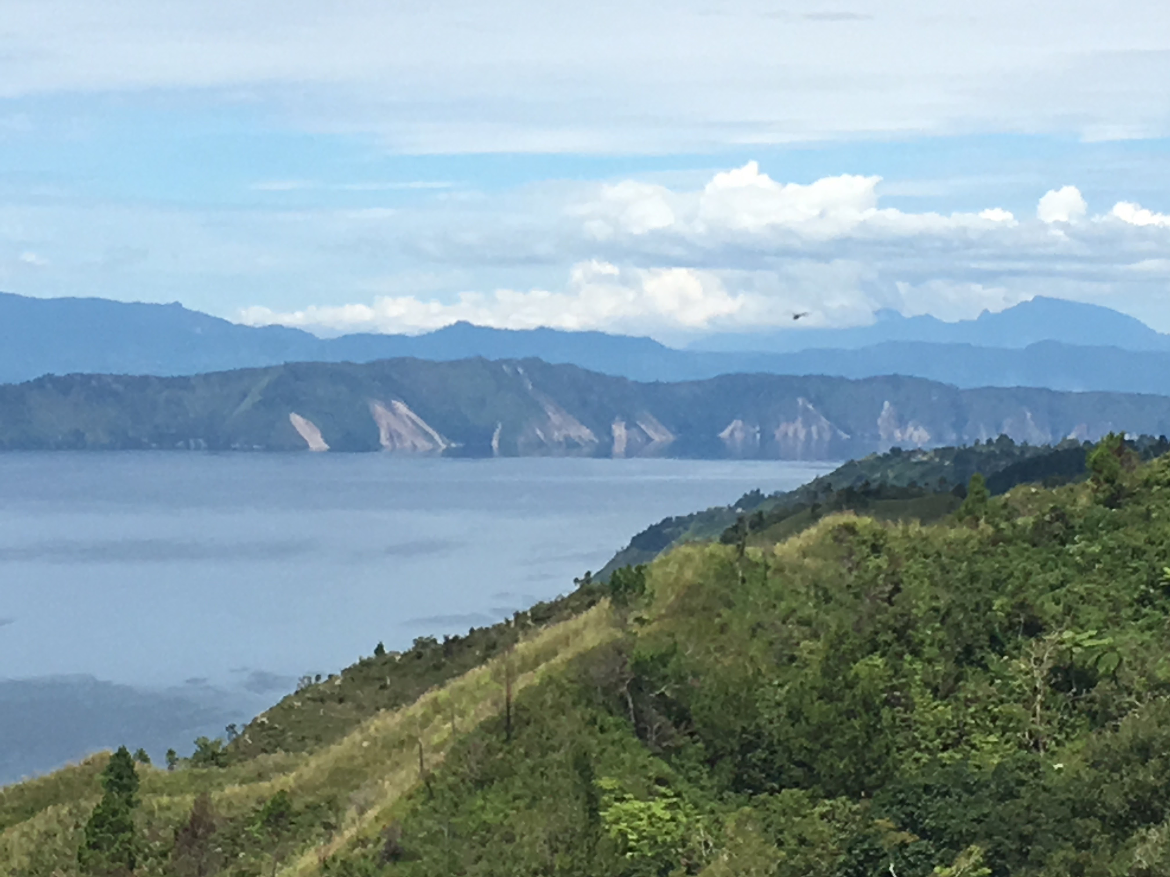
A small portion of one side of the Toba Caldera, facing northeast from Samosir
Really, really big. The Toba Caldera is 100 x 30 km in area, holds the largest volcanic lake on the planet, and formed from the eruption of 2800 cubic kilometers of magma 74,000 years ago. (If you want to use this old post of mine for reference, that’s about 2,800,000 Empire State Buildings or 2,800,000,000,000,000,000 jelly beans. In other words, a LOT.) Even if that eruption took place over days or weeks, that is a truly cataclysmic event. Chesner’s 2011 paper calls it the “largest volcanic eruption experienced by the modern human race” (in an anthropological sense, at least).
Because this is such an important geologic event, all of Toba Caldera is a Geopark. That’s a UNESCO designation for an area of geologic significance, sort of like a World Heritage Site. Many of them are related to geologic hazards such as volcanoes, and it adds a level of education to a tourist destination.
Tuk-Tuk peninsula on Samosir Island, made up of a collection of lava domes erupted along faults paralleling the main Samosir fault scarp (in the background)
Samosir “Island” (it’s really only an island because of a dredged channel on the west side) is a main destination for many visitors to Toba. It’s a resurgent dome in the center of the caldera, and formed somewhere around 33,000 years ago. Tuk-Tuk, a peninsula on the east side of the island, is a collection of lava domes erupted along faults that parallel the main scarp of the island itself. That scarp is is very evident wherever you go on the island.
Possible slumps off the Samosir scarp
With all those fault scarps bordering Samosir, it’s inevitable that there would be landslides as well. In this part of the world, you’re reduced to relying on the shape of landforms to guess at what they are, because things get vegetated very quickly here. There were a few places where we could see what must have been really recent landslides:
Landslides on the outer caldera walls
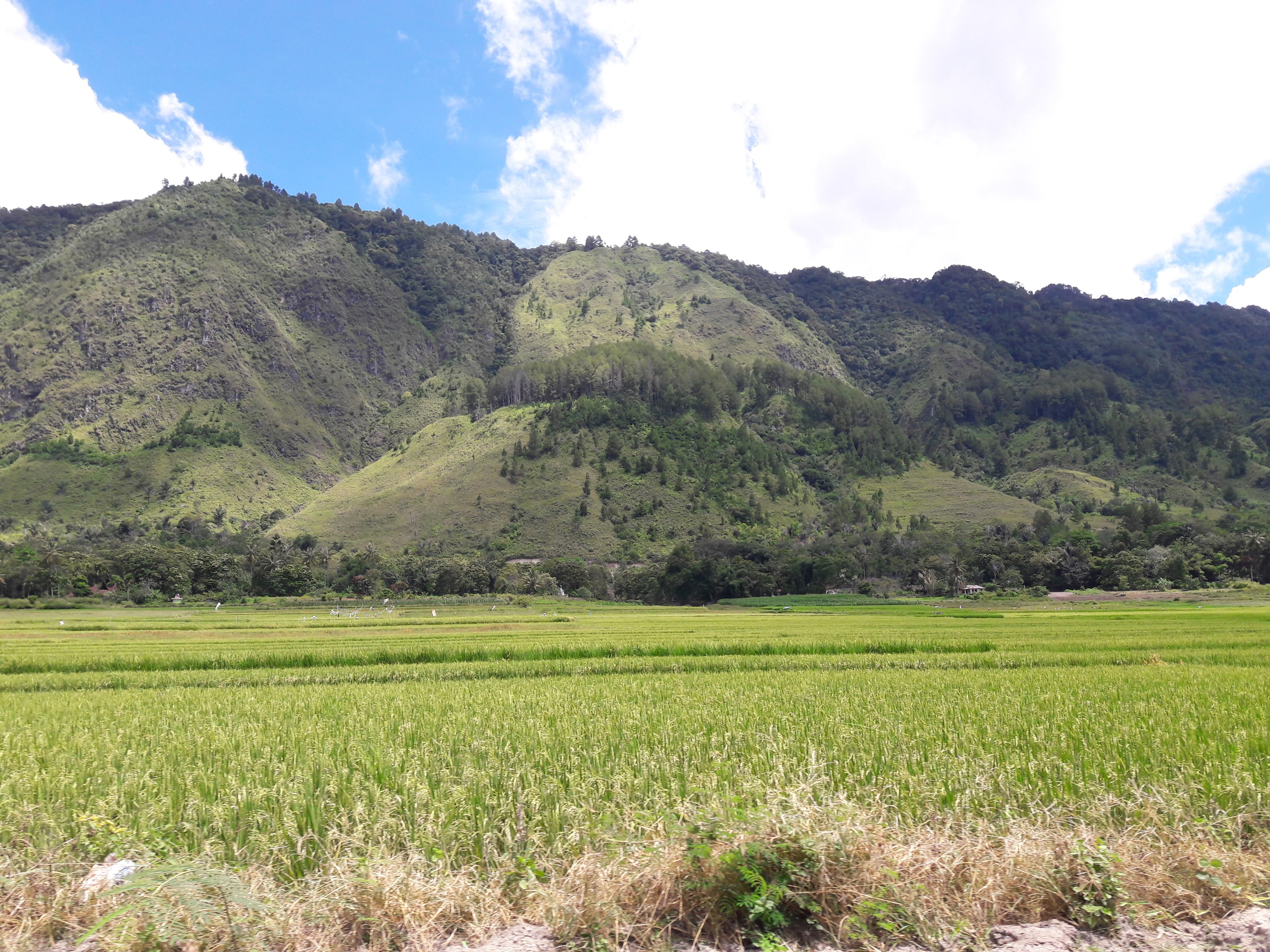
In general, everything here is steep until you get to the top of Samosir (a 1.5 km climb on pretty iffy roads).
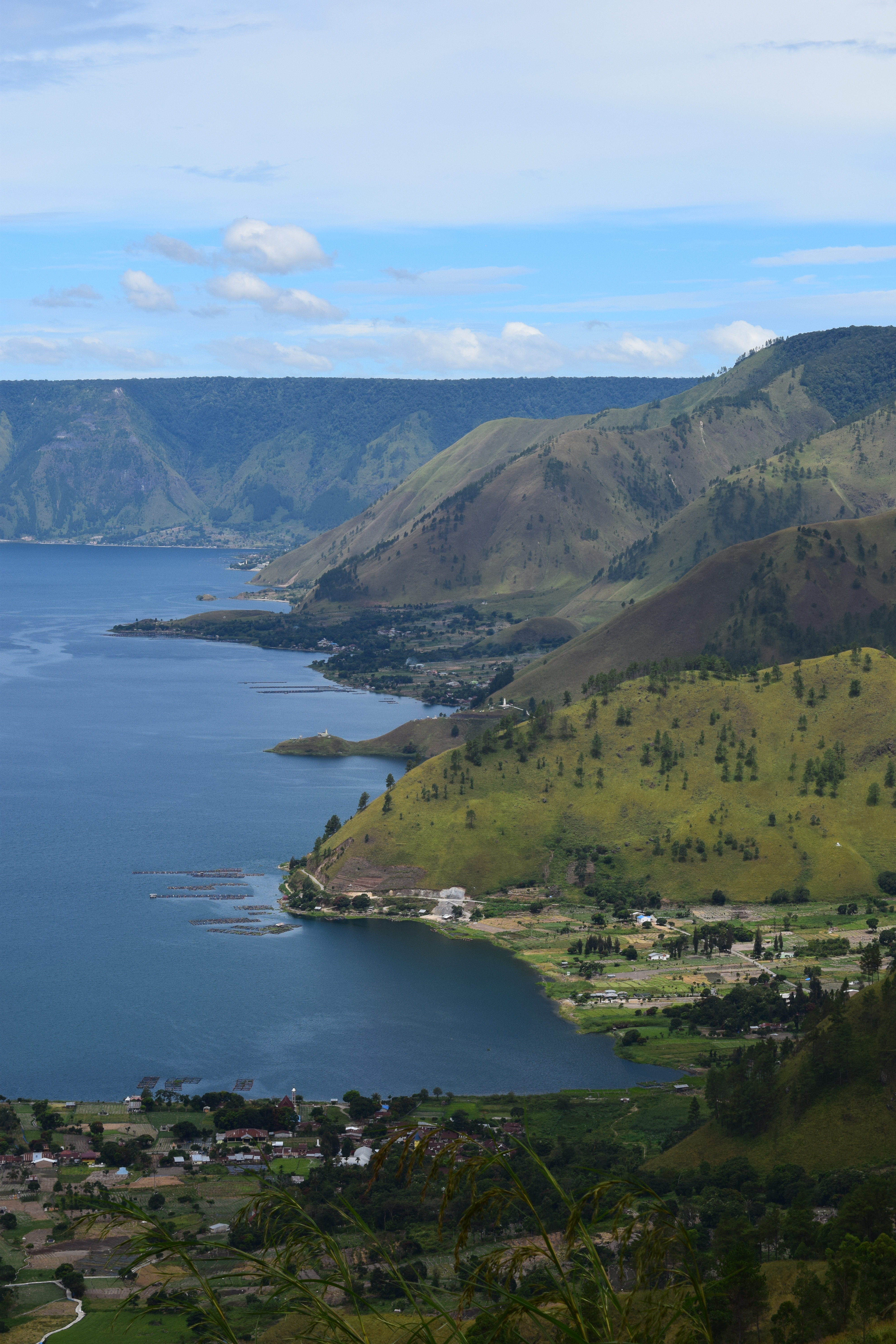
Caldera walls and some of the small villages at the northwest end of the Toba Caldera
Because things grow so quickly in Sumatra, it’s hard to find good exposures of the ignimbrite (rock formed from variably-welded ash and pumice) from the eruption. At the northern end of the caldera, the Sipiso Piso waterfall offers a small glimpse.
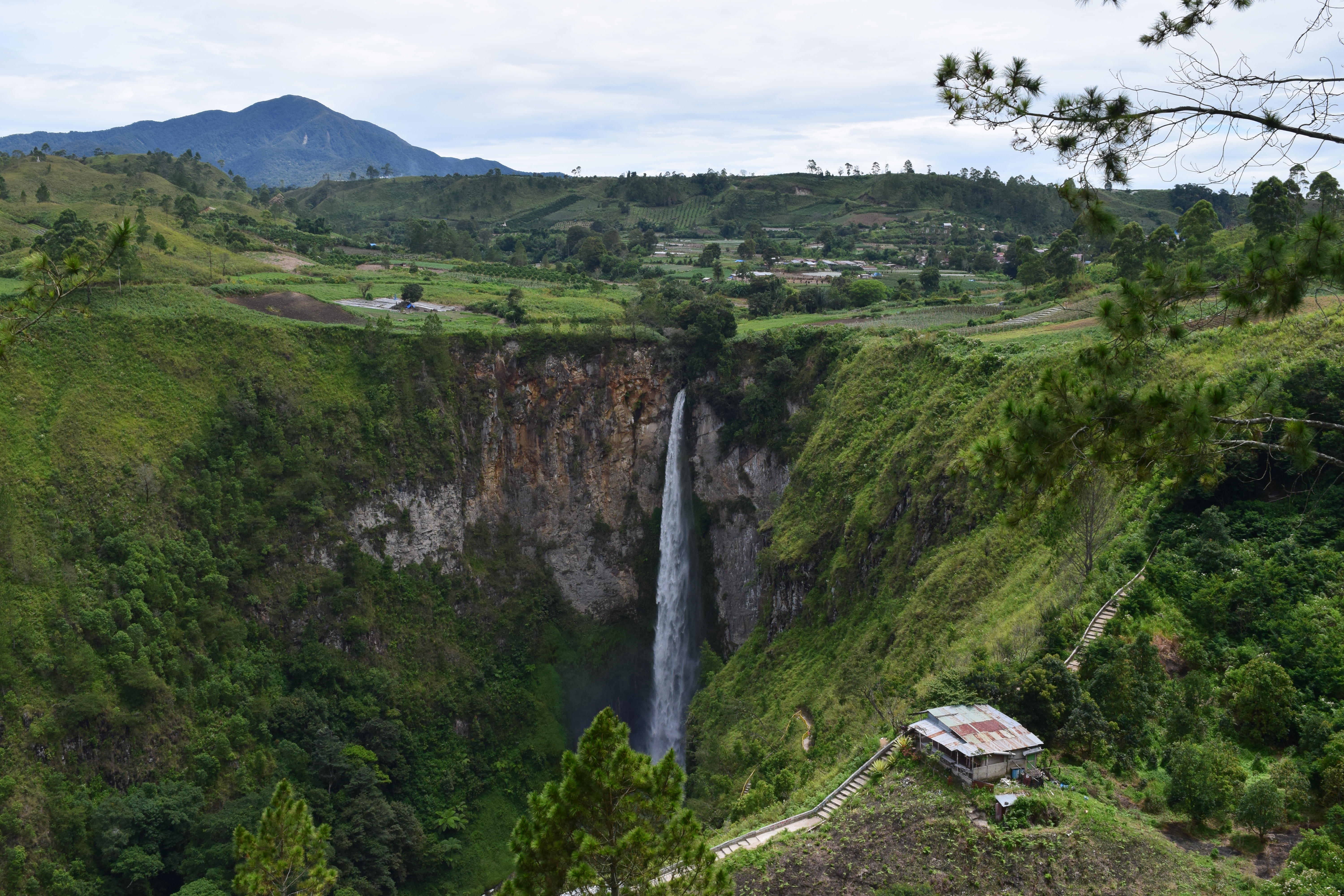
Sipiso Piso waterfall exposing the ignimbrite from the climactic eruption
The ignimbrite (also sometimes called welded tuff) from this eruption cover anything from 20,000 to 30,000 square kilometers of northern Sumatra, and ash from the eruption blanketed large portions of Southeast Asia (including all of India). In places, the youngest deposits from the eruption are 600 m thick.
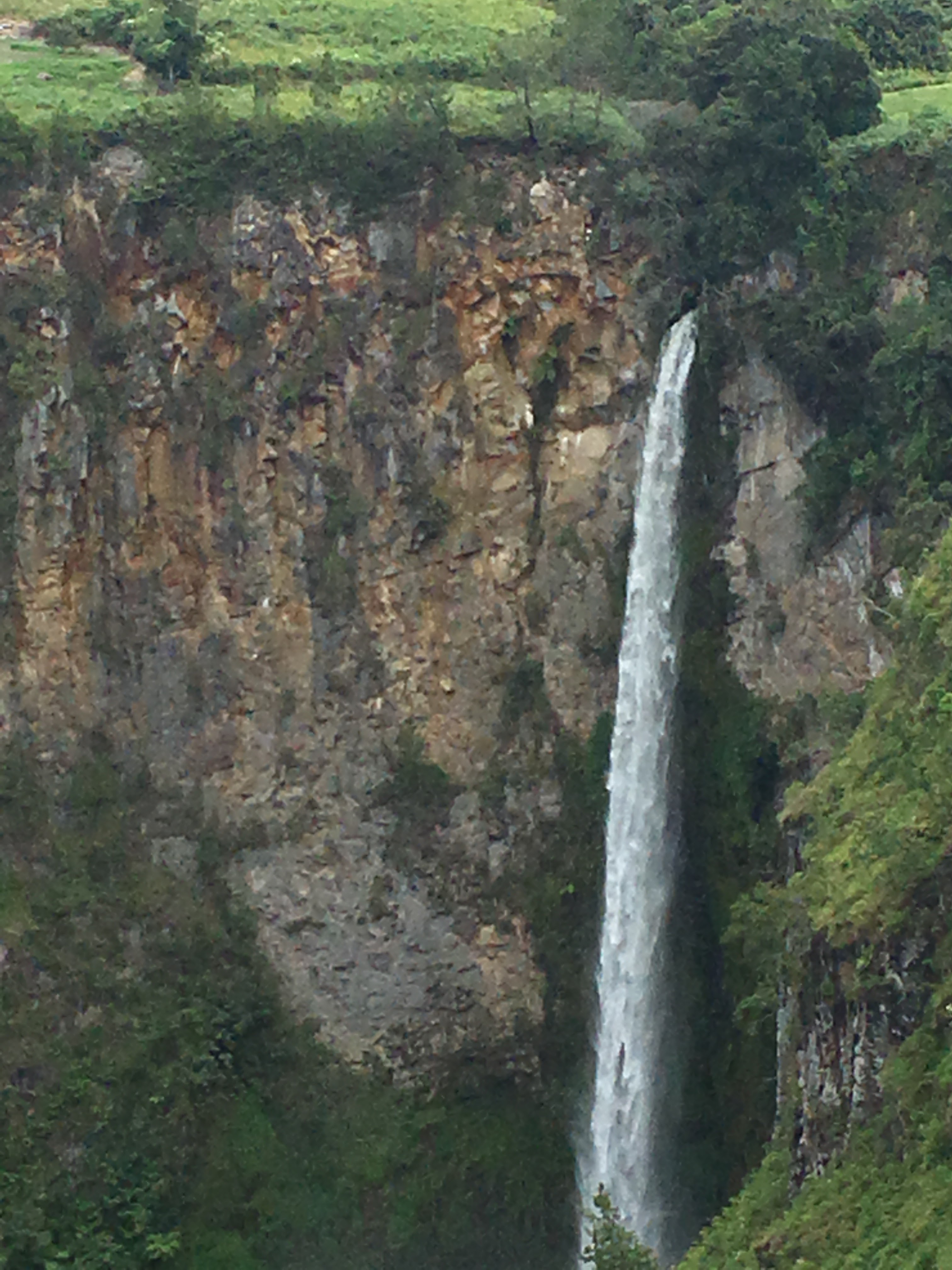
That’s a lot of ignimbrite – from just one eruption!
In some places, people have used the ignimbrite for building purposes. Houses are generally made from wood – no big surprise in a place where everything grows quickly – but in Ambarita, there are ceremonial chairs and carvings made from ignimbrite. Unless they’re very welded, ignimbrites in general tend to be easily carved and shaped for things like this.
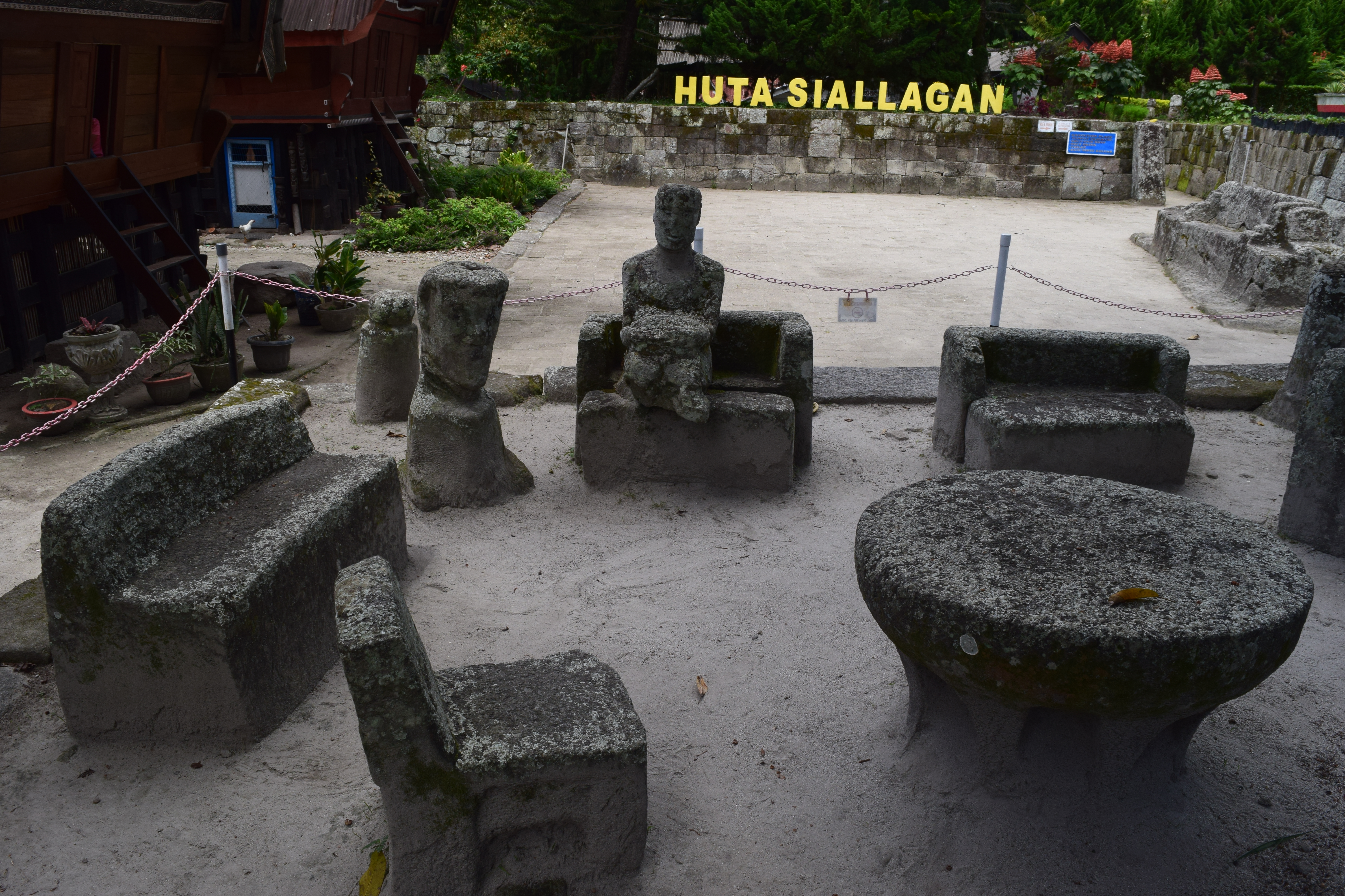
Council chairs in Ambarita’s “show” village
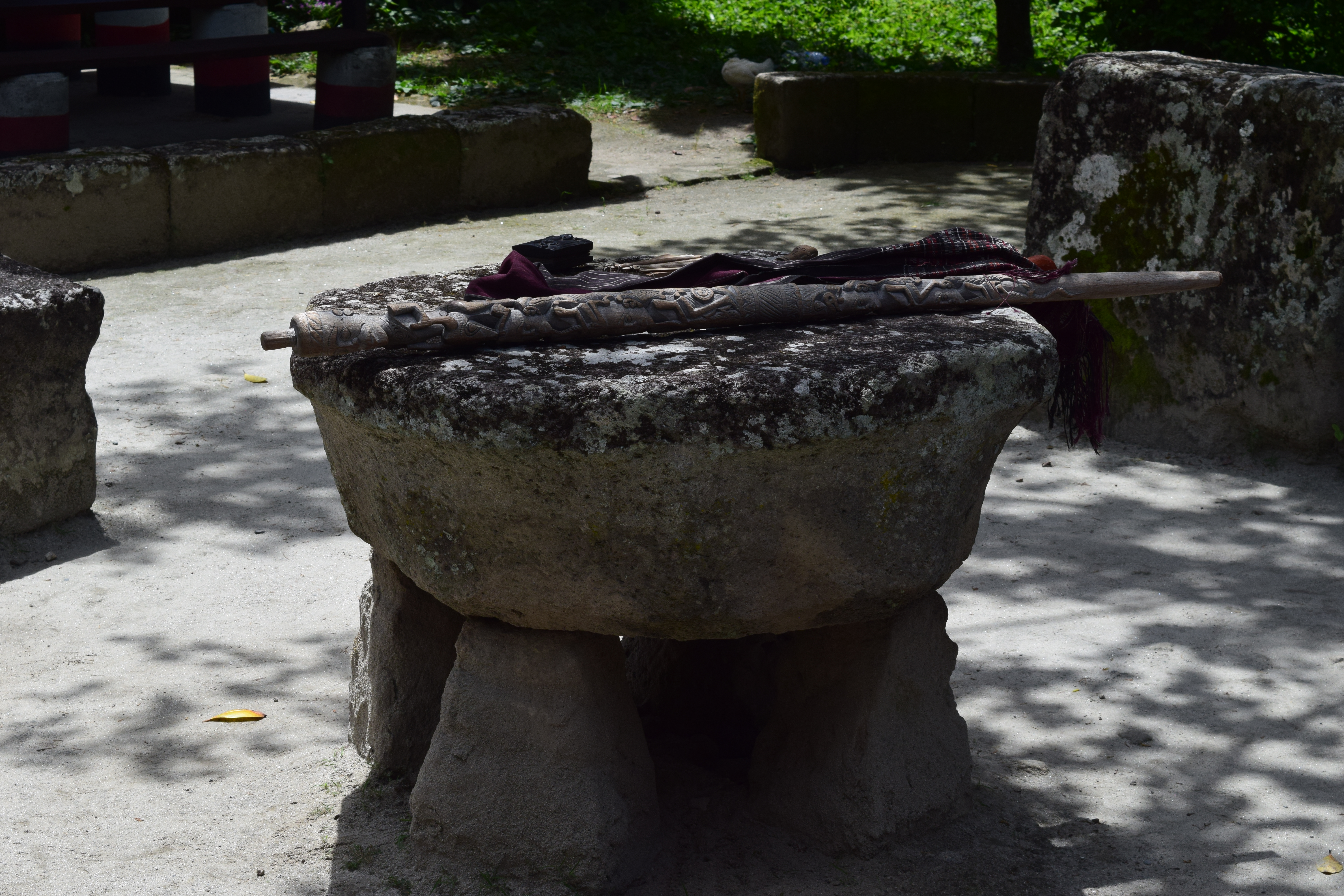
A table in another ceremonial circle
While our visit to Toba was brief, it was pretty spectacular. I spent a good bit of time wondering what it must have been like to be alive and anywhere near the caldera when it erupted. Even geologists who think on really long timescales about massive natural processes have a hard time wrapping their heads around this kind of disaster. To say it would have been a very bad day in northern Sumatra would be an understatement; an eruption of that size, if you’re anywhere in the vicinity of the volcano, would have been positively apocalyptic!

Northeast end of the caldera
Fortunately, there’s been no historic volcanic activity at Toba, and even the most recent volcanic eruptions (at Pusikbukit volcano and Pardepur Island on the southwestern edge of the caldera) are between 50,000 and 60,000 years old. So even for a volcanologist, it’s easy to relax even when you’re sitting smack dab in the middle of one of the biggest calderas on Earth!
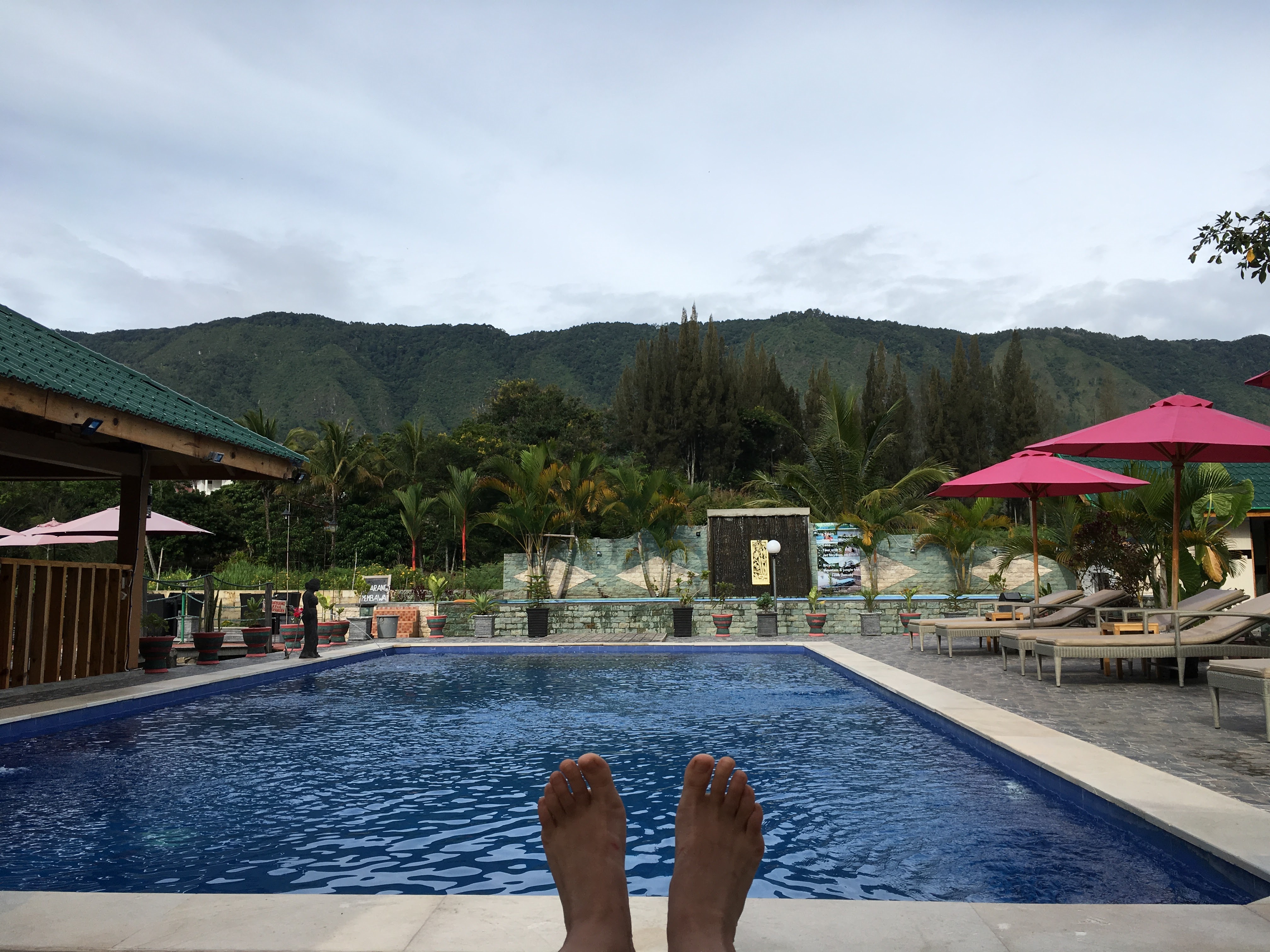
Volcanologist on vacation
More about Toba:
- Global Volcanism Program stub
- Mucek et al. 2017, Post-supereruption recovery at Toba Caldera, Nature Communications
- Chesner 2011, The Toba Caldera Complex, Quaternary International
- Atlas Obscura’s Toba Caldera article
 Jessica Ball is a volcanologist at the U.S. Geological Survey, researching volcanic hydrothermal systems and stability, and doing science communication for the California Volcano Observatory. She previously worked at the Geological Society of America's Washington DC Policy Office, learning about the intersection of Earth science and legislative affairs. Her Mendenhall postdoc and PhD focused on how water affects the stability of volcanoes, and involved both field investigations and numerical modeling applications. Her blogging covers a range of topics, from her experiences in academic geosciences to science outreach and communication to her field and lab work in volcanology.