31 January 2022
The December 2021 landslides in Malaysia
Posted by Dave Petley
The December 2021 landslides in Malaysia
In December 2021 heavy rainfall in Malaysia triggered landslides that caused extensive damage. For example, The Star reports that on 18 December landslides closed the Kuala Lumpur-Karak Highway, leaving about 450 people stranded on the road. The worst affected state was Selangor, where ten people were reported to be missing, primarily as a result of flooding.
Loyal reader Riza Aziz has carefully collated some information about the landslides associated with this heavy rainfall. Riza has highlighted the following mountainous areas affected:
Karak in Pahang state
Google Maps link: https://goo.gl/maps/zcPfTqMSU1j64bEr9
Debris flows in multiple areas, the main highway connecting the east and west coasts was blocked by mud and debris for a week. Downstream towards Temerloh town in Pahang state, water levels rose 1 meter higher than the road surface which is on an embankment above the surrounding countryside. I passed by two days after Christmas and I saw mature oil palm trees completely covered in mud. Maybe 20 feet max water level?
Kuala Klawang in Negeri Sembilan state
Google Maps link: https://goo.gl/maps/Z7CfBycLyRUDHNnk8
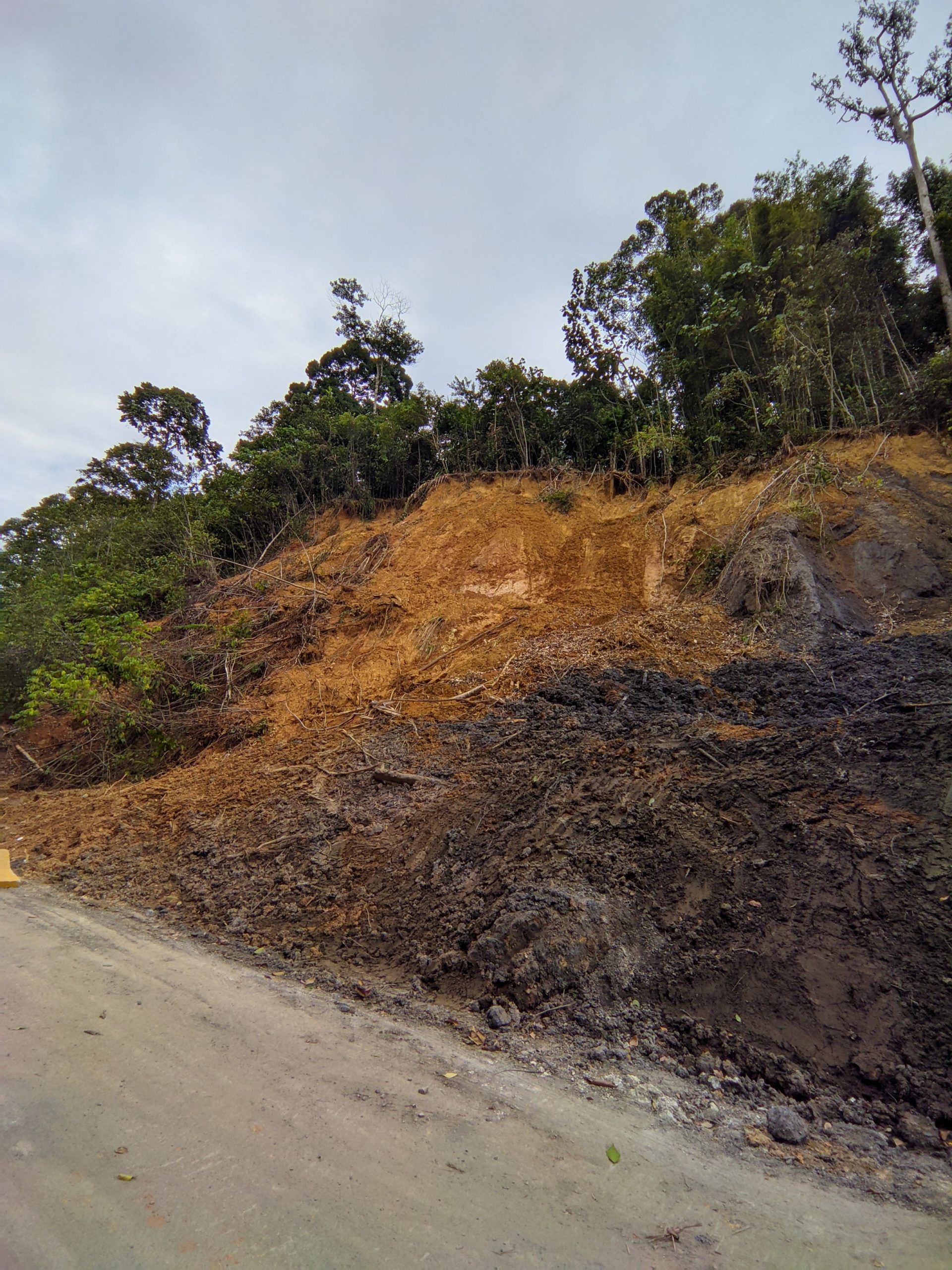
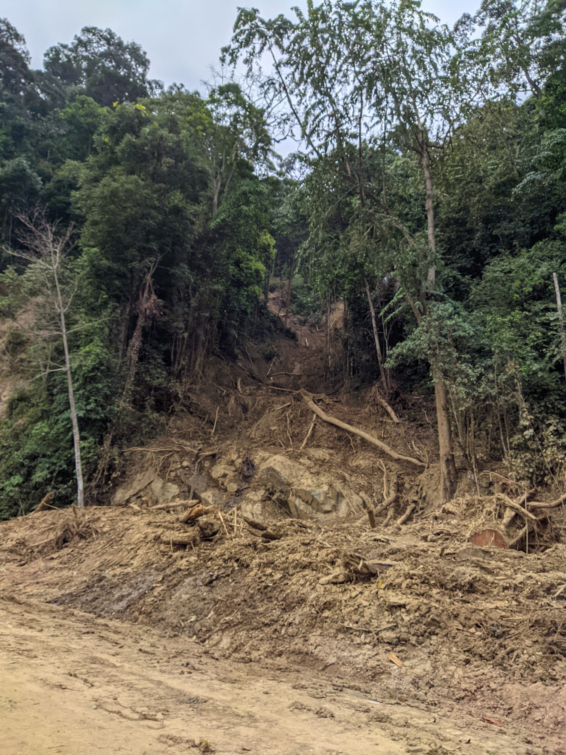
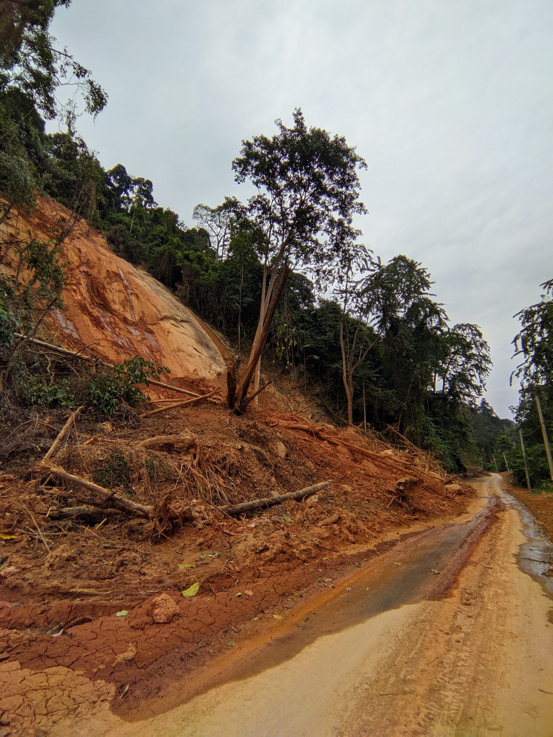
Route N32 that passes through here is a favourite among cyclists and motorcycle riders for the tight turns and constantly changing elevation. It has become a muddy trail with landslides at every turn. Some landslides looked like steep roadcut slopes that moved when they became too waterlogged. Other slides were massive events with an upstream source that sometimes scoured away the overlying soil.
Riza has kindly provided the following images of some of the landslides-

A landslide from the rains in December 2021 on Route N32 in Malaysia.

A flow from the rains in December 2021 on Route N32 in Malaysia.

A shallow landslide from the rains in December 2021 on Route N32 in Malaysia.
.
Hulu Langat town in Selangor state
Google Maps link: https://goo.gl/maps/fSqzGqD1akMdyd7x8
This town was downstream of the previous area and some parts were hit hard by flooding and debris flows. It was previously a weekend mountain retreat for city folks from Kuala Lumpur.


 Dave Petley is the Vice-Chancellor of the University of Hull in the United Kingdom. His blog provides commentary and analysis of landslide events occurring worldwide, including the landslides themselves, latest research, and conferences and meetings.