
29 January 2017
Japan’s Himawari 9 First Images Released
Posted by Dan Satterfield

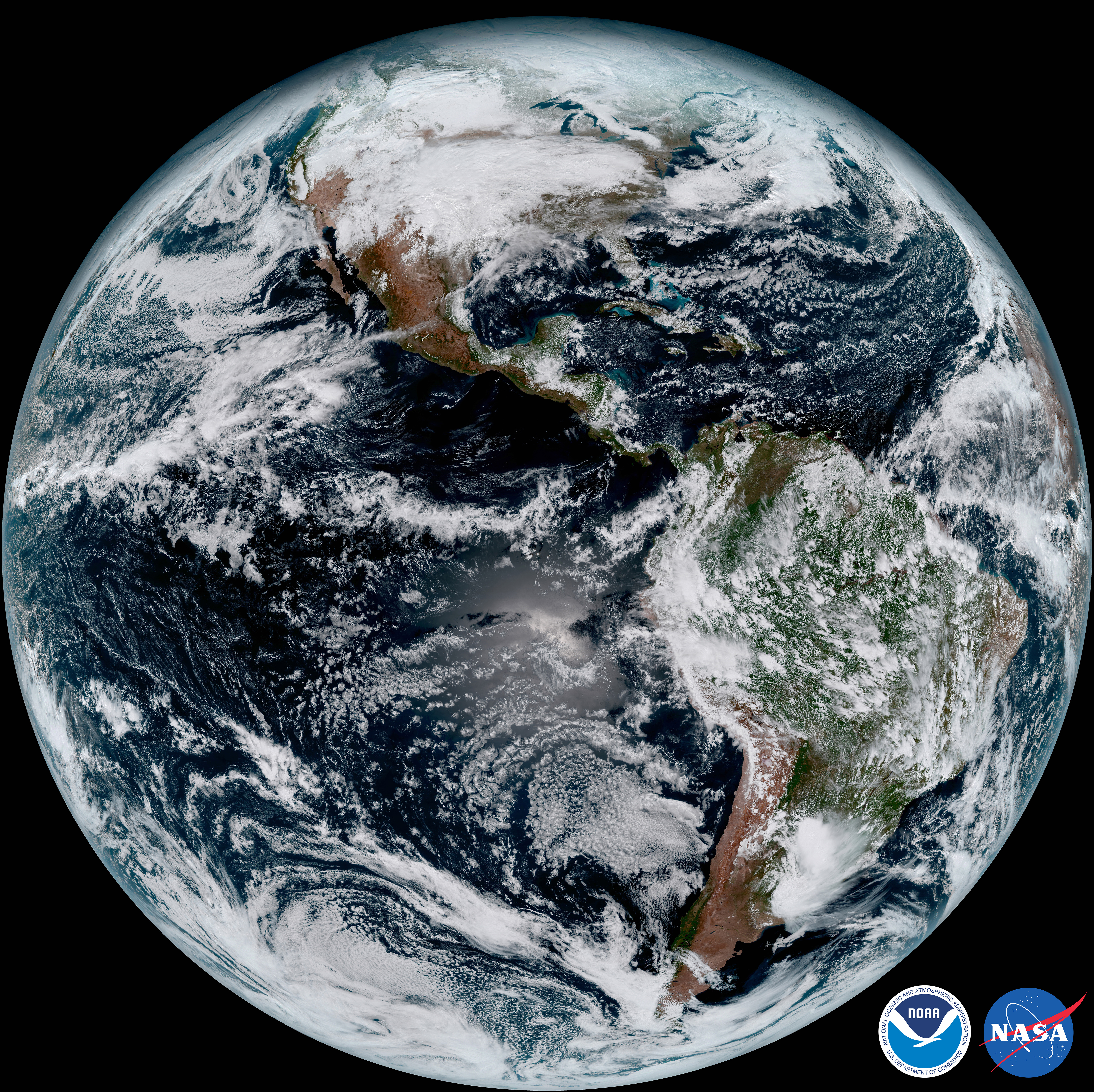
Japan’s latest advanced weather satellite was launched within a few days of the new GOES-R NOAA satellite. Click for a HUGE image.
Japan has had a 16 channel Advanced Baseline Imager in orbit since 2014 and this new satellite is a backup for the Himawari 8 that is still providing good imagery. We now have advanced satellites over Europe and one over America. When GOES-S is launched in two? years, we’ll have very high temporal and spatial resolution from Europe to Asia! The Himawari has sensors for red, green, and blue light and can produce true colour images. The NOAA GOES-R and MSG over Europe can come close to true colour by substituting the near IR “veggie” channel for green.
Below is the GOES-R (now GOES-16) first image, released last week at the AMS meeting in Seattle. Neither of these weather satellites is operational yet. It will take several months of calibration and testing before that happens.
Note: when you click on the images to see the near full resolution picture, your computers graphic card may whimper or even have a temporary stroke.
 Dan Satterfield has worked as an on air meteorologist for 32 years in Oklahoma, Florida and Alabama. Forecasting weather is Dan's job, but all of Earth Science is his passion. This journal is where Dan writes about things he has too little time for on air. Dan blogs about peer-reviewed Earth science for Junior High level audiences and up.
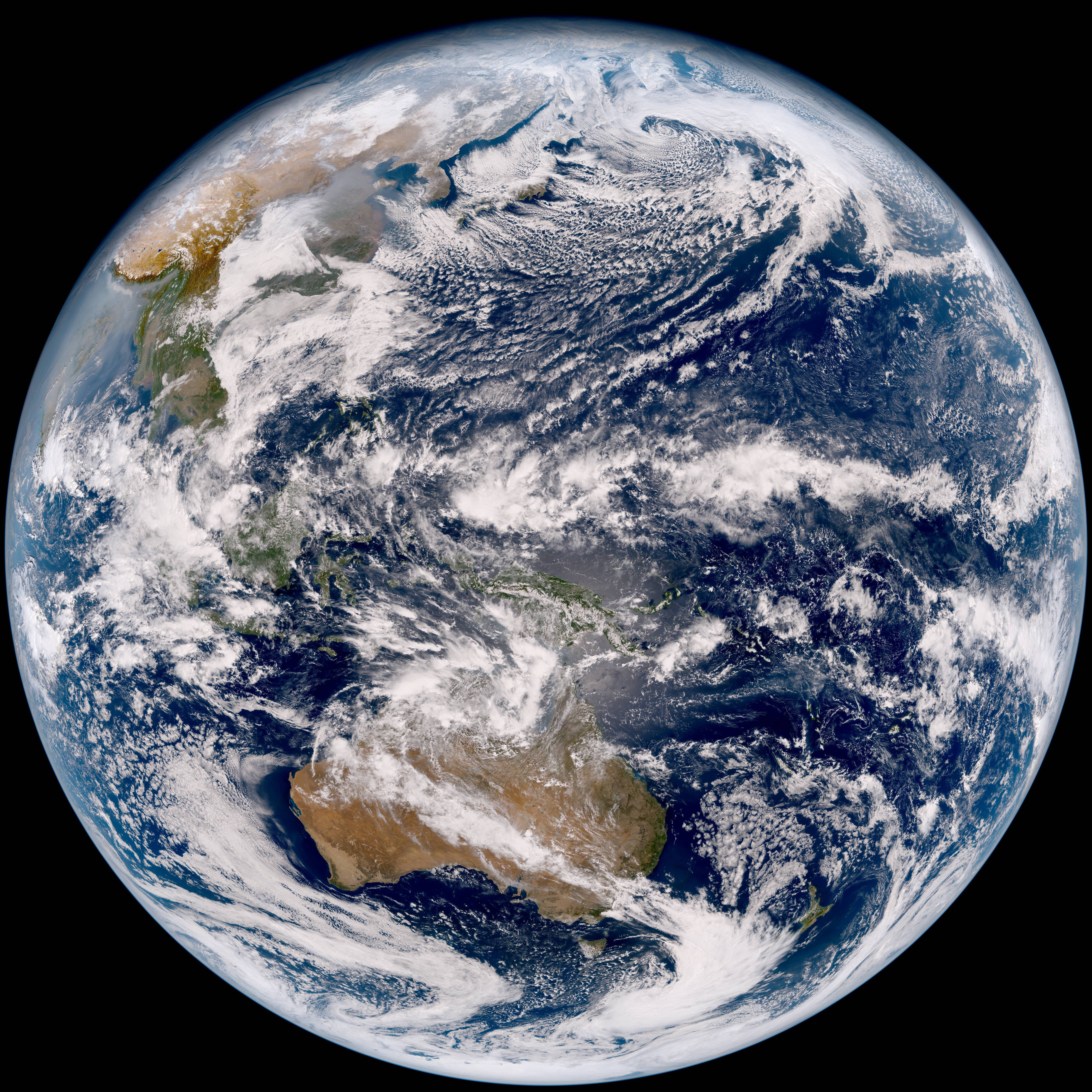