10 May 2013
The Future Of Weather Forecasting Is Under Construction
Posted by Dan Satterfield
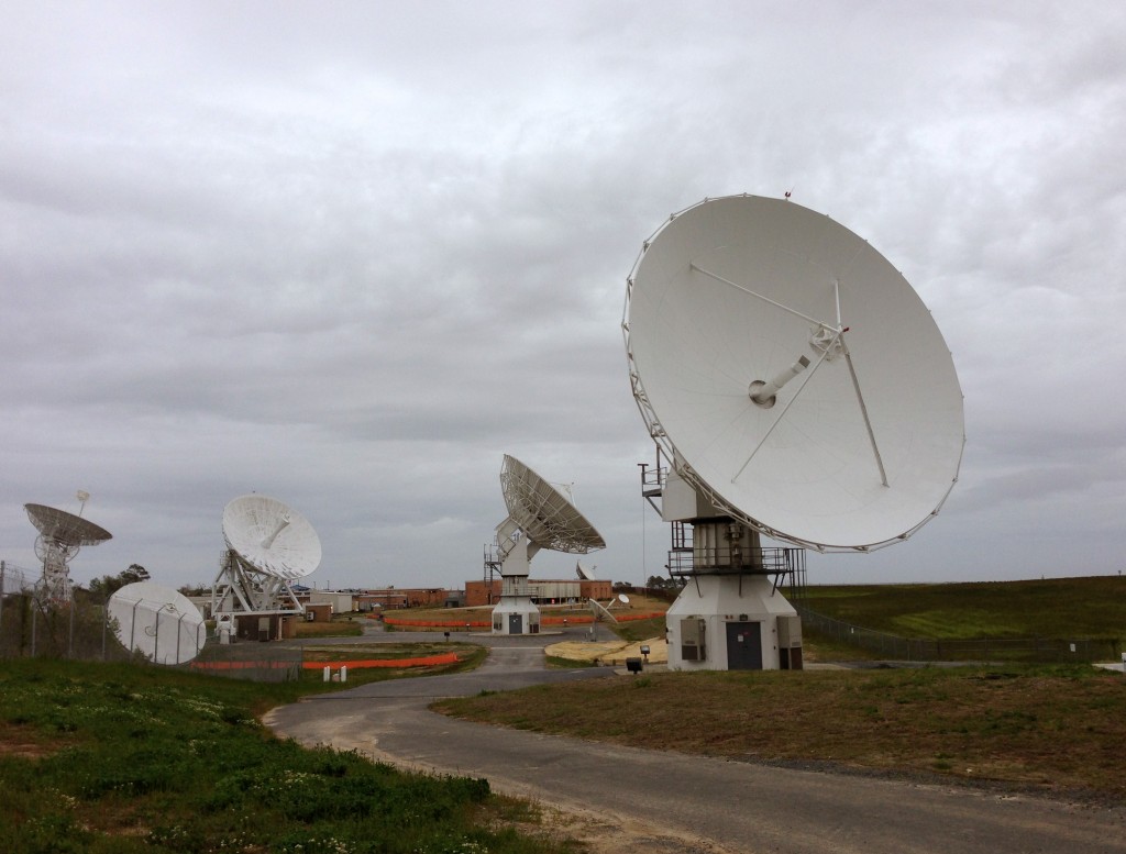 Every summer, thousands of people drive out to Chincoteague in Virginia to see the beautiful beach, wild ponies, and the stunning National Wildlife Refuge. To get there, they drive around the long NASA runway at the Wallops Island Flight facility, and you can’t help noticing the cluster of big satellite dishes. If you’ve been there, you probably have wondered just what all those dishes are for. Meteorologists already know, and you’re about to find out!
I think you will find it very fascinating.
WHAT THOSE BIG WHITE DISHES YOU SEE ON THE WAY TO THE BEACH ARE
The NOAA facility at Wallops is where the GOES (Geostationary Operational Environmental Satellite) data is received. You see these images on every TV weathercast and online. They are also piped into every forecast office and atmospheric research center in the hemisphere. From Canada to Argentina, and from Fairbanks to London. If you look at a weather satellite image, it was almost certainly received and processed at Wallops Island in rural Accomack County Virginia.
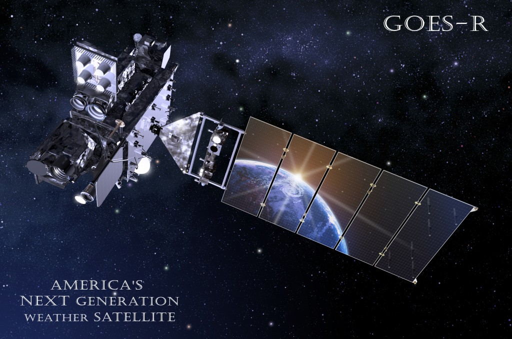
THE NEXT GENERATION WEATHER SATELLITE GOES R
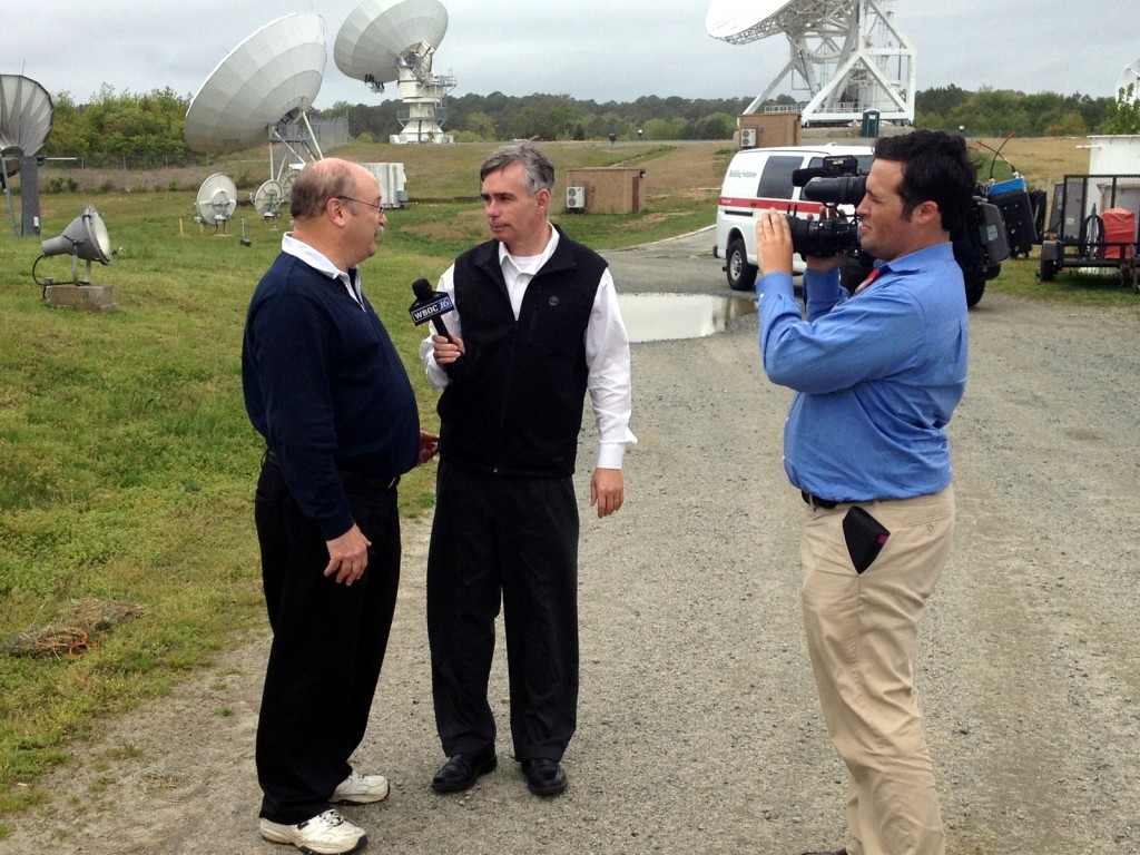
Me interviewing Dr. Steve Goodman the GOES R Program Scientist for a story we will air in a few days on WBOC here on the Delmarva Peninsula Many of my viewers here will be surprised to learn how important to worldwide forecasters those satellite dishes they see driving to the beach at Chincoteague really are.
Thanks to some NOAA and NASA Scientists, I got a great tour of the place on Tuesday. Our mission was to see the construction of two new dishes for the GOES R weather satellite. I was the guest of Dr. Steve Goodman the program Scientist for GOES R, and Daniel Karlson the Chief of staff of the GOES Program office. Doug Crawford the station manager at the Wallops facility gave us all the tour and answered a ton of questions When this satellite launches in two years it will become the first real 21st century weather satellite in geostationary orbit, and it will revolutionize weather forecasting.
It’s been said that if all the GOES Satellites could see were hurricanes they’d still be worth ten times what they cost, but they see FAR more than that. Weather satellites actually can measure winds and temperatures at different levels of the atmosphere over the land and oceans. Without this ability, a 7 day forecast would suddenly become a three-day forecast on your evening TV screens. I kid you not, the weather satellites are that important.
THE FUTURE OF FORECASTING
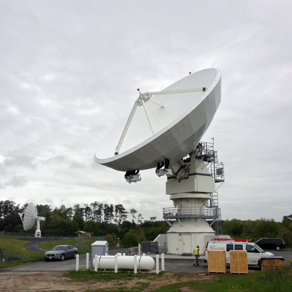
This is the new GOES R dish. It's designed to receive a 5 Watt signal from 35,000 km away, in a strong Category two hurricane of 110 mph winds. If Chincoteague is being hit by a hurricane like that, I'll be looking at that data very closely! (It's in my viewing area!)
The Wallops facility receives the data from the GOES West and GOES East satellites, and also several environmental satellites in low earth orbit. They also do something else I had no idea about: They receive data from stream gauges on rivers over North America, seismic data and ocean buoys in the Atlantic. They also receive the Tsunami Warning System buoys in the Pacific. If you are a boater and called up data from a buoy near you to check water temperature or swell, the data was downlinked and processed at Wallops. That’s why the place is behind big fences with electronic gates!
GOES R CAPABILITIES
Keep in mind,that an image taken in visible light (like what you might get if you took your Canon or Nikon DSLR) is only a fraction of the real picture. Seeing the Earth in light that we cannot see with our eyes has revolutionized meteorology, and almost all of science for that matter. The abilities of GOES R will be amazing. Measuring Arctic sea ice, snow depth, fog and stratus, and even detecting the areas where severe thunderstorms are ABOUT to develop, are all within the capabilities There are even algorithms being developed to warn pilots of severe turbulence in real-time That’s what I mean when I say that forecasting is about to change forever.
This is where the satellite data is processed with NOAA scientists and engineers monitoring the data distribution 24 hours a day.
Now, imagine overlaying those images with lightning detection from space. We can get cloud to ground strikes now from land based systems but we cannot see and locate in cloud lightning with much precision and not at all over the distant oceans. That will soon change. I also met with Dr. Walt Petersen at NASA, and he is working on the Global Precipitation Measurement mission that will put a space based 21st century radar in space next year. Not only will we learn much more about precipitation in distant parts of the planet ,but it will be of vital importance to scientists researching the effects of the rapidly rising greenhouse gases on our weather patterns.
One last thing. If you are about to post a comment that we just cannot afford all of this, keep in mind that the U.S.Defense Department spends in TWO years, what NASA spent putting Alan Shepard in Space, Neil Armstrong and 11 other men on the Moon, AND in sending the Rovers to Mars, PLUS ALL of those Shuttle missions. (That fact courtesy of Neil de Grasse Tyson in Space Chronicles)
In TWO years.
Too much money?? Tell that to the folks who live on the New Jersey Coast.


 Dan Satterfield has worked as an on air meteorologist for 32 years in Oklahoma, Florida and Alabama. Forecasting weather is Dan's job, but all of Earth Science is his passion. This journal is where Dan writes about things he has too little time for on air. Dan blogs about peer-reviewed Earth science for Junior High level audiences and up.
Great Post Dan. Thank you
For anyone that thinks NASA isn’t worth the money, A list of some of the tech spinoffs from the space program can be found here: http://www.sac.edu/AcademicProgs/ScienceMathHealth/Planetarium/Pages/Benefits-of-the-NASA-Space-Program.aspx
Now, that is some bang for your buck!
interesting to read, thanks. NASA is definately worth the money.
Nice post. My friends and I were looking up Pittsburgh weather radar because we are trying to plan an outdoor kids birthday party. It got me thinking how weather radar actually works, so I have been looking it up. This seems so complicated. Thanks so much for sharing.