31 May 2013
Friday fold: flying over the Fort Valley with Michael Collier
Posted by Callan Bentley
Michael Collier is a renowned geological aerial photographer. He provided dozens of compelling images for the textbook I worked on this past year – many taken from his small airplane. He’s a pilot, too. And a medical doctor. And a writer, with dozens of books to his name. And a former river guide. The guy can do it all.
I was delighted when Michael asked me about what place in the Valley and Ridge province he should focus on in a new video he’s producing for Pearson and the Tarbuck, Lutgens, and Tasa geo-publishing empire. I humbly suggested the Massanutten Synclinorium might be a contender. Of course, I would do that, right? I live in it.
And so it came to pass that Michael came and stayed with Lily and I for several days, and I showed him around our local geology, hitting all the stops on my Massanutten field trip for NOVA, and then some (for instance, the South Page Valley Martinsburg outcrop). We also went out to Corridor H in West Virginia, for a wealth of sedimentary structures and King-Kong-sized folds.
The culmination of our collaboration came when Michael took me up in his 2-seater airplane, and we flew over the ridges of Massanutten and the Fort Valley. It was a strange delight to look down on my house from a thousand feet above it. As Michael photographed talus fields, he had me fly the plane, which was actually quite simple, but also totally terrifying.
So today, for the Friday fold, let’s take a look at a few photos I shot on this lovely excursion of half an hour’s time. Though the Massanutten Synclinorium has previously made an appearance on the Friday fold, this perspective is different.
We begin with the plane parked at the Front Royal / Warren County Airport.
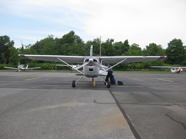
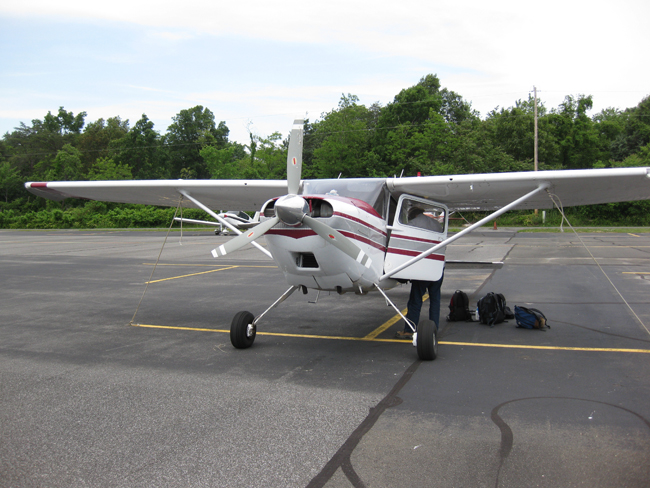
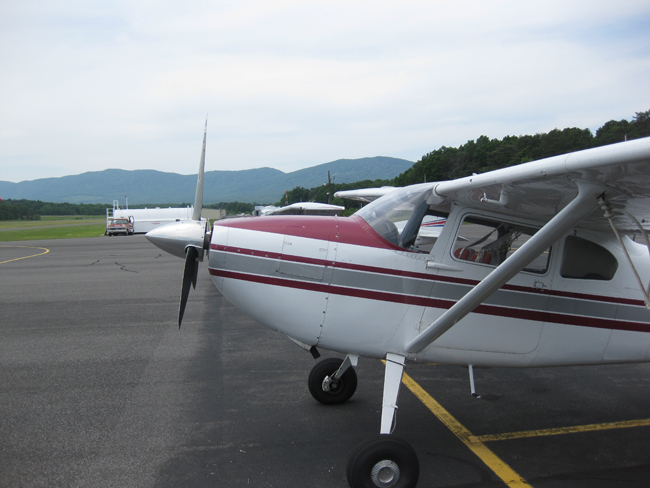
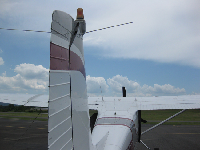
As Michael was fueling up, I saw some straw poking out of the engine next to the propeller. I looked inside, and saw a bird’s nest! The starlings had been busy during our two days of geologizing. We spent about ten minutes cleaning out all the grass, muttering about the temerity of these birds to do such a thing!
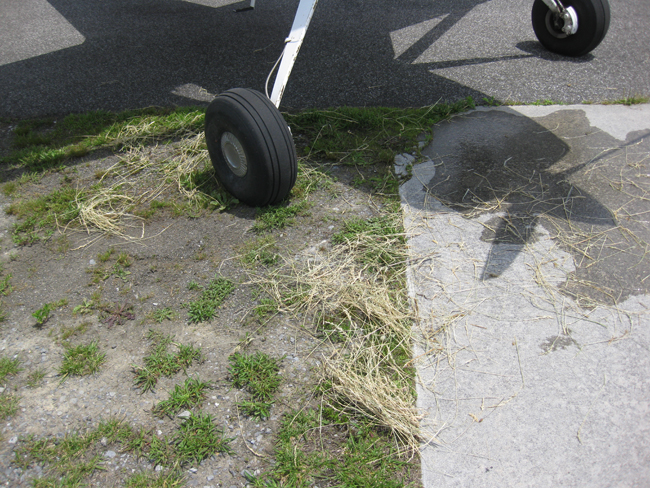
Once the engine was again nest-free, we climbed aboard and belted ourselves in. Then it was a short trip down the runway, and we were in the air!
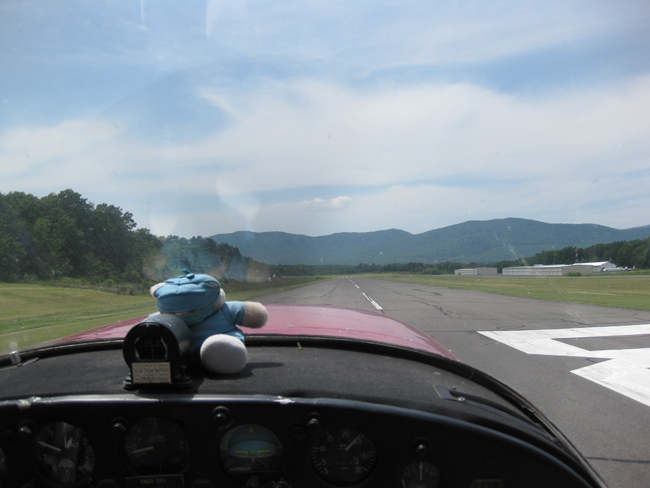
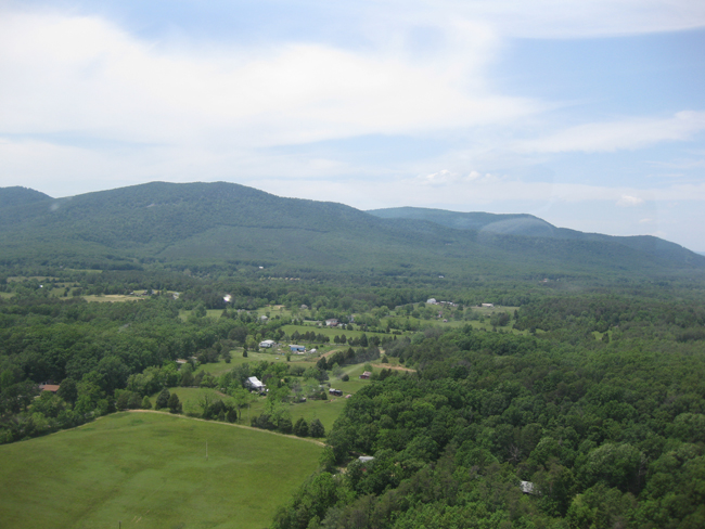
Cresting the ridge of Massanutten, and crossing over into the Fort Valley…
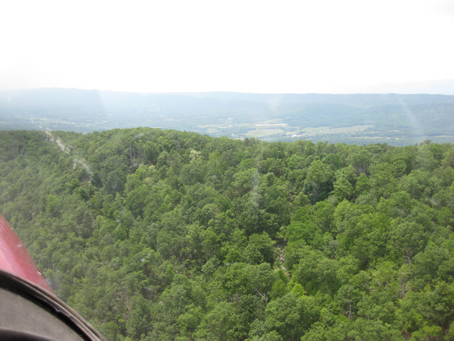
My neighborhood…
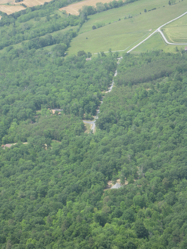
…And my little enclave on the middle of the jungle:
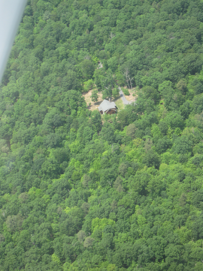
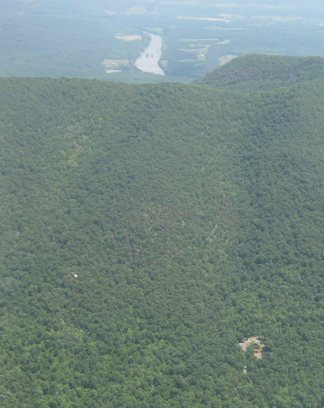
Zooming out again, with my house at far right, looking NNE along the WNW flank of Massanutten, toward Buzzard Rock and the Passage Creek Day Use Area.
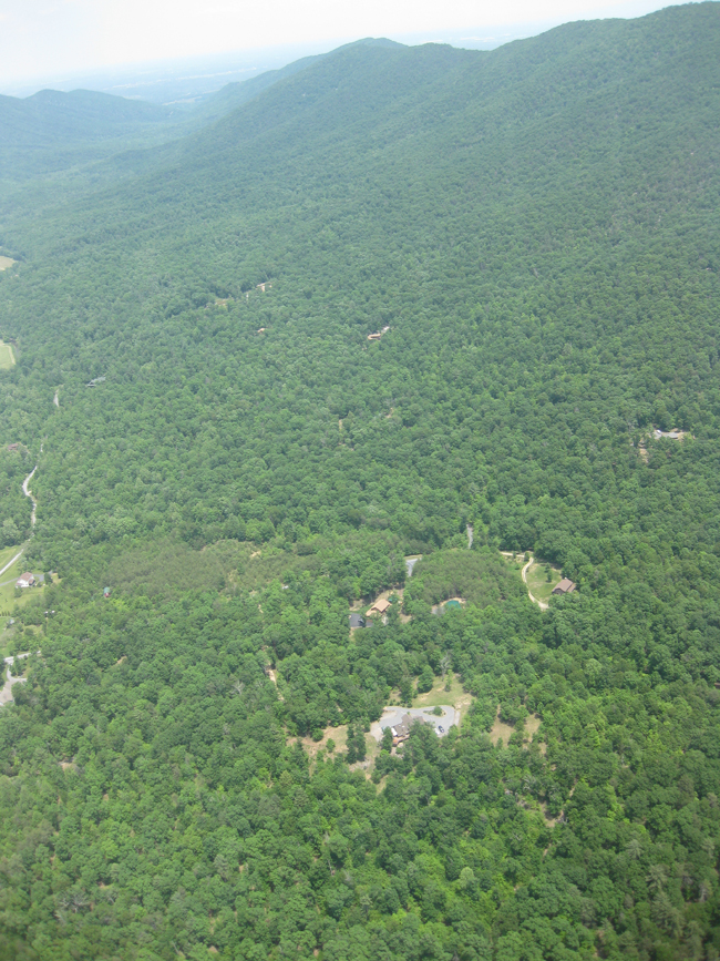
The broader neighborhood, with Passage Creek’s meanders fairly well pronounced…
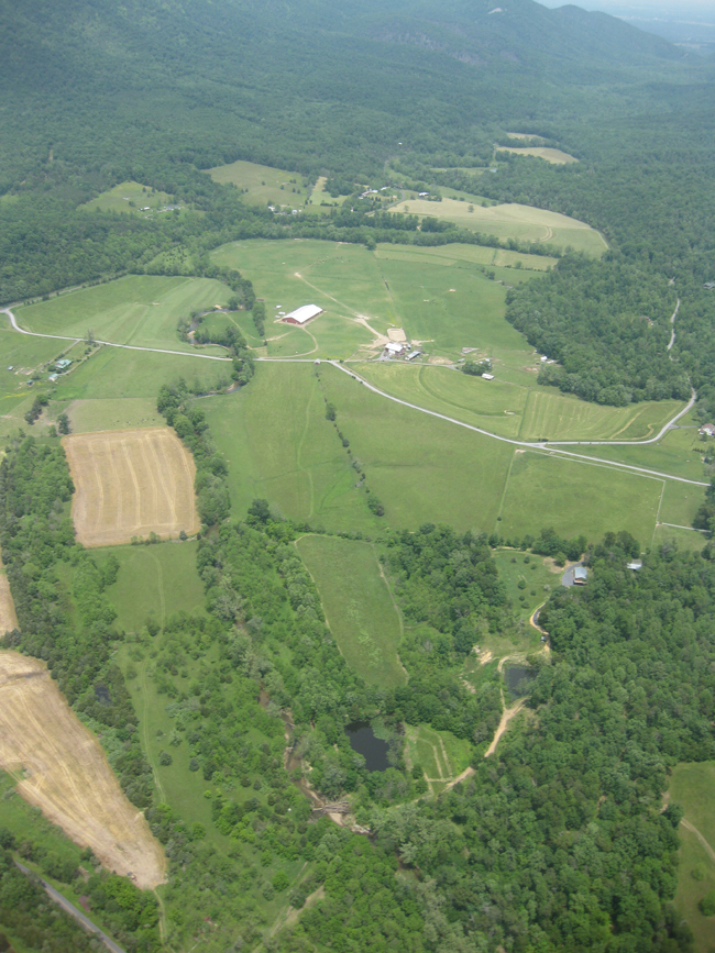
Heading south along the valley, with a view to the west into the Little Fort Valley (and beyond, into the Shenandoah Valley):
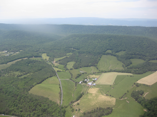
Here’s the ridge of Massanutten, as we headed south…
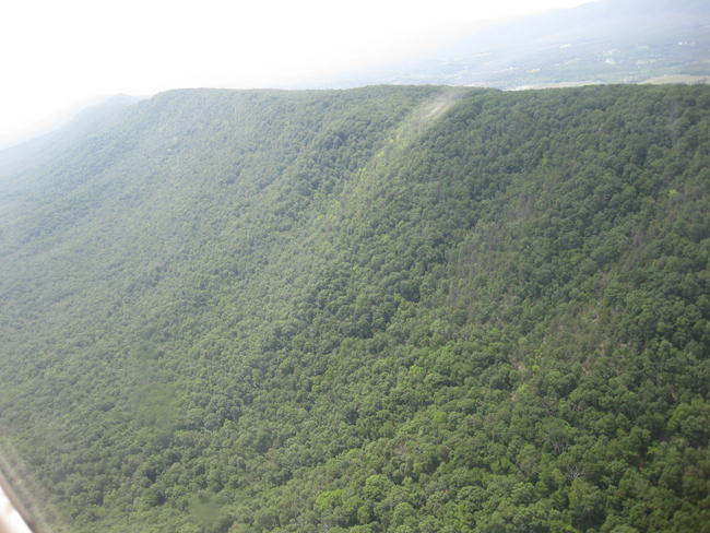
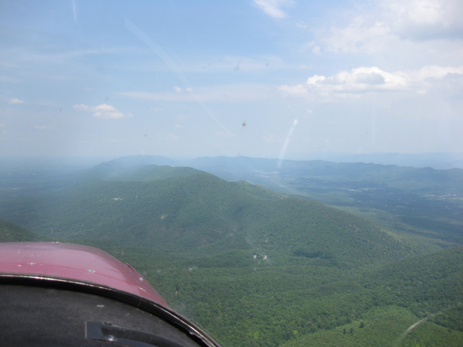
Looking south along the crest of Little Crease Mountain. Veach Gap is discernible if you know where to look (shadows help define the topographic cleft). So is Kennedy Peak: the knob on the left (east) ridge:
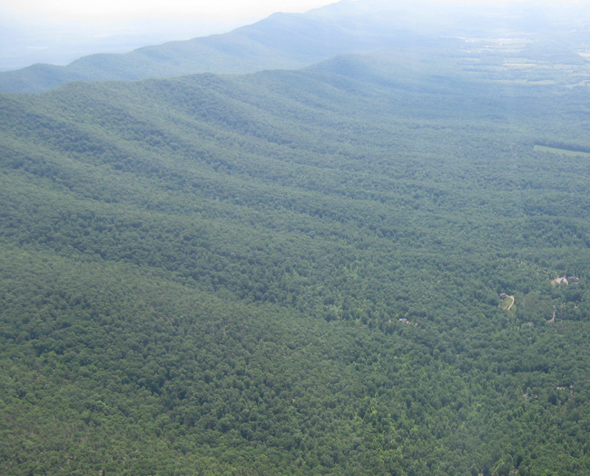
We passed over Veach Gap, a water gap transecting Little Crease Mountain, which is structurally an anticline that is a medium-scale feature part of the larger-scale Massanutten Synclinorium. At the heart of the gap, there are some lovely anticlines exposed. Not that you can tell that from up in the plane…
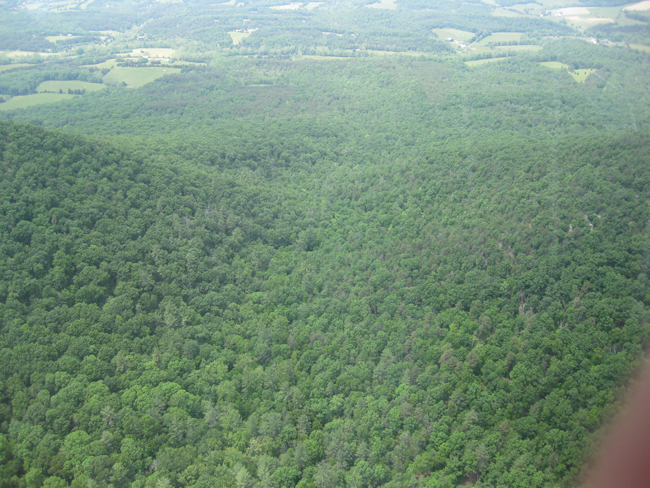
We also spotted the burned area that caught fire last summer, two weeks after we moved here:
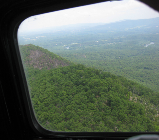
Kennedy Peak, a prominent knob on the ridge:
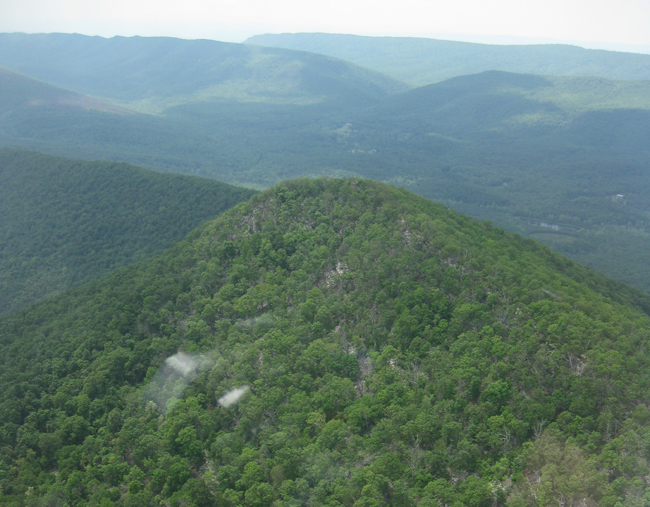
Edinburg Gap, one of the two main ways into or out of the Fort:
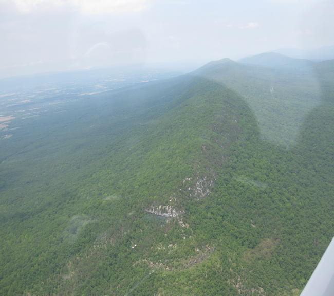
Here’s “The Knob,” a promontory just east of the town of Mount Jackson, Virginia. We were struck by the apparent horizontal attitude of the Massanutten Sandstone at this location:
We crossed back over my yard one more time before heading into Front Royal, where Michael dropped me off at the airport, and then continued on his journey north…
What a great experience this was! I hope everyone who’s reading gets a chance to expand their perspective with such a tour.


 Callan Bentley is Associate Professor of Geology at Piedmont Virginia Community College in Charlottesville, Virginia. He is a Fellow of the Geological Society of America. For his work on this blog, the National Association of Geoscience Teachers recognized him with the James Shea Award. He has also won the Outstanding Faculty Award from the State Council on Higher Education in Virginia, and the Biggs Award for Excellence in Geoscience Teaching from the Geoscience Education Division of the Geological Society of America. In previous years, Callan served as a contributing editor at EARTH magazine, President of the Geological Society of Washington and President the Geo2YC division of NAGT.