24 April 2017
The Wellington earthquake landslide problem
Posted by Dave Petley
The Wellington earthquake landslide problem
The Wellington earthquake landslide problem was the front page story in one of the local papers 10 days ago. The article is online. The crux of the piece is summarised in the first few sentences:
“Up to 10,000 Wellington homes could be damaged by landslides if a major earthquake strikes close to the city. But while landslides may pose the greatest threat to those living in the capital when the big one hits, it could be years before residents know which slopes across the city pose the highest risk.”
The article also highlights a study being undertaken by GNS Science to try to understand the risks associated with the Wellington earthquake landslide problem:
GNS engineering geologist Sally Dellow said earthquake-induced landslides were usually bigger than those caused by rain. A research project was already under way looking at modified slopes in the Wellington region, she said. Homeowners could expect slopes around them to be evaluated, but it would take extra funding of about $5 million for the work to be completed in four years. “GNS Science has been working on this problem for many years, but only recently has the work started to be funded to the level required to deliver the detail needed to give information that can be acted upon.”
A part of the issue here is that the Wellington Fault runs at the foot of a series of steep slopes very close to the city centre. The Leapfrog blog has a rather lovely image that captures this efature well:
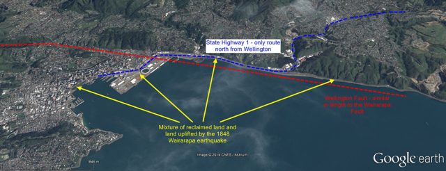
The Wellington fault from the Leapfrog blog
.
As the image above shows, there are many houses built on the slopes around the city. I snapped a couple of pictures before I left on Saturday:
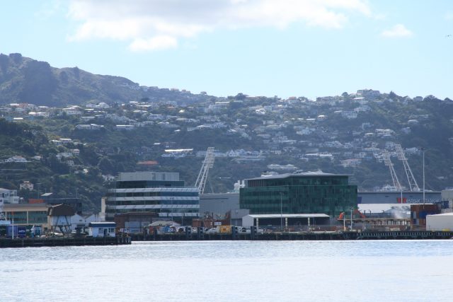
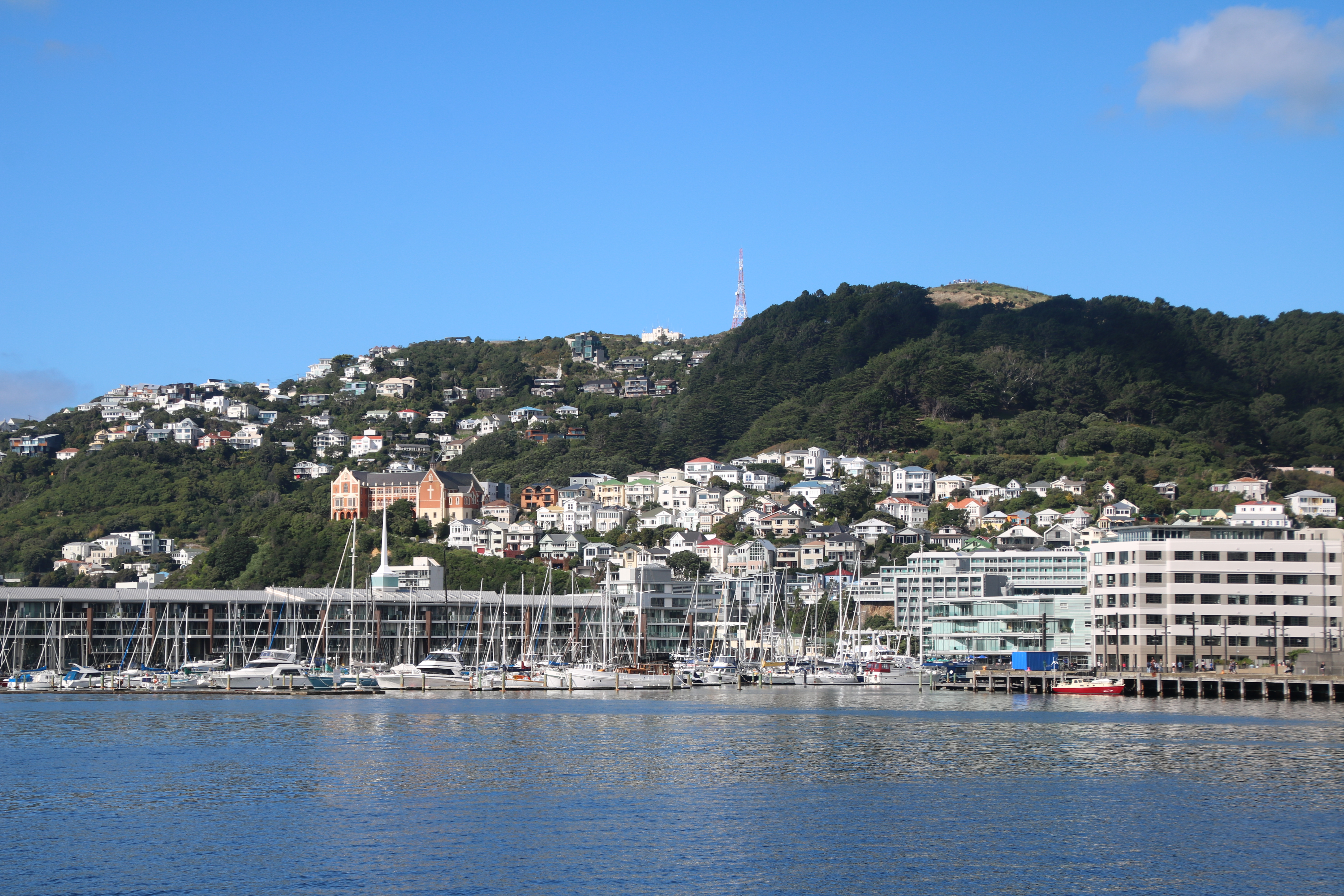
.
We know from experience elsewhere in New Zealand and further afield that, in general, slopes close to the surface traces of faults perform badly in earthquakes. The Kaikoira earthquake illustrates this quite well. This is a Google Earth image of the terrain close to the fault for example:
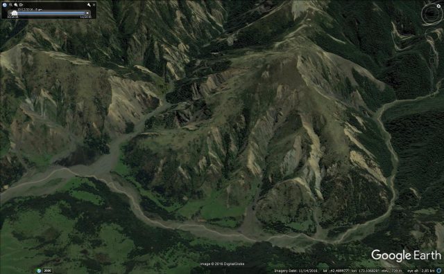
Google Earth image of landslides triggered by the Kaikoura earthquake
.
Sometimes after a large earthquake, there are large numbers of cracked and deformed slopes close to the fault that have not transitioned to full failure. These deformations are sufficiently large to damage houses very badly though. This is an image I took from a helicpter after the 2005 Pakistan earthquake:
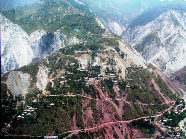
The aftermath of the 2005 Pakistan earthquake. The change in colour in the rocks that is so obvious in the image marks the line of the fault. The terrible landslide problem close to the fault is very clear.
.
It isn’t possible to say how the slopes will behave in an earthquake in Wellington, and no-one is suggesting that any particular property is at risk. But it is clear that the work that GNS Science and others are doing on the Wellington earthquake landslide problem is both timely and important.


 Dave Petley is the Vice-Chancellor of the University of Hull in the United Kingdom. His blog provides commentary and analysis of landslide events occurring worldwide, including the landslides themselves, latest research, and conferences and meetings.
Hi Dave! Hope you’re well. I have friends who have just bought a house near the fault so was checking it out. Was pleased to come across your blog post!! Took me back to my UEA u/g days when I did a project on the Wairarapa eq. I then lived in Wellington for a year and freaked out at the slightest tremor!