
July 27, 2017
Plaine Morte Glacier, Switzerland July 2017 Bare of Snow
Posted by Mauri Pelto

Landsat images from 2013, 2014 and 2015 and Sentinel Image from 2017 indicating lack of snowcover on Plaine Morte Glacier (PM). Nearby Wildstrubel Glacier (W) terminus has separated since 2005.
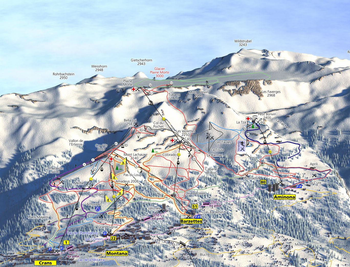
Glacier de la Plaine Morte (Plaine Morte: PM) is in the Swiss Alps just north of Crans Montana. The Crans Montana resort has a lift that ends just above the glacier, and a ski loop traverses the middle of the glacier (see map below). The glacier has a limited elevation range from 2900-2500 m. It has a low slope 4 degree or less over the main plateau area of 5 square kilometers between 2650 m and 2800 m. Huss et al (2013) observed the glacier lost an average of 35 m in thickness from 1954-2011, this represents a greater mass loss than the regional average of 22 m. At the southeast margin of the glacier is Lac des Faverges, that forms and drains each summer which Huss et al (2013) expect to expand substantially with further retreat and downwasting. The glacier is just east of Wildstrubel Glacier (W)
What is clear from examining Landsat imagery is that the glacier does not retain substantial areas of snowcover most years. This means the glacier lacks a consistent accumulation zone and cannot survive (Pelto, 2010). The warm summer of 2017 has left the glacier without snowcover even though it is only mid-July. The mass balance loss this year will be substantially over 1 m this year. This has been the case in 2013, 2014 and 2015 as well by the end of August. The loss of of snowcover is also observed in Landsat images from 2003, 2004 and 2005. The 2009 image is from Google Earth, Lac des Faverges has not drained yet (F) and the glacier is yet again lacking snowcover. The glacier is larger than the soon to disappear Cavagnoli and loses its snowpack more often than Basodino. The glacier cannot survive, but is still large and will not disappear quickly. There is clearly a concentric basin to the right (east) of the PM in the glacier center. Wildstrubel Glacier in 2004 and 2005 terminated beyond the convergence of two glacier tongues, yellow arrow. In 2015 and 2017 it is evident that retreat has led to a separation of the glaciers.
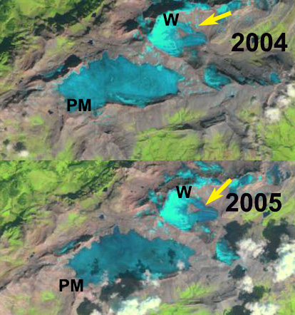
Landsat images from 2004, and 2005 indicating lack of snowpack on Plaine Morte Glacier (PM). Nearby Wildstrubel Glacier (W) terminus is joined in 2005.
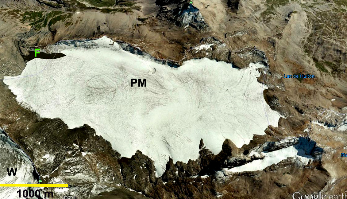
Google Earth image from 2009 of glacier, with Lac Faverges evident (F).
Ski trail map of Crans Montana
 Dean of Academic Affairs at Nichols College and Professor of Environmental Science at Nichols College in Massachusetts since 1989. Glaciologist directing the North Cascade Glacier Climate Project since 1984. This project monitors the mass balance and behavior of more glaciers than any other in North America.