July 8, 2010
Posted by Mauri Pelto
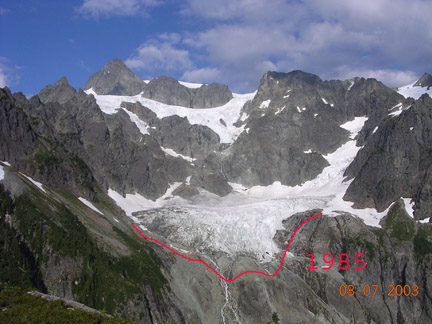
The Lower Curtis Glacier on Mount Shuksan advanced from 1950-1975 and has retreated 150 meters from 1987-2009. A longitudinal profile up the middle of the glacier indicates that it thinned 30 meters from 1908-1984 and 10 m from 1984-2008. Compare the 1908 image taken by Asahel Curtis (glacier named for him) in 1908 and our annual glacier shot in 2003. 
 The thinning has been as large in the accumulation zone as at the terminus, indicating no point to which this glacier can retreat and achieve equilibrium with the present climate. However, the glacier is quite thick, and will take 50-100 years to melt away. This glacier is oriented to the south and fed by avalanches from the Upper Curtis Glacier and the southwestern flank of Mt. Shuksan. This allows it to survive in a deep cirque at just 5600 feet. Because of its heavy accumulation via avalanching the glacier moves rapidly and is quite crevassed at the terminus. Image below is a 2009 sideview, note the annual dark layers in the ice.
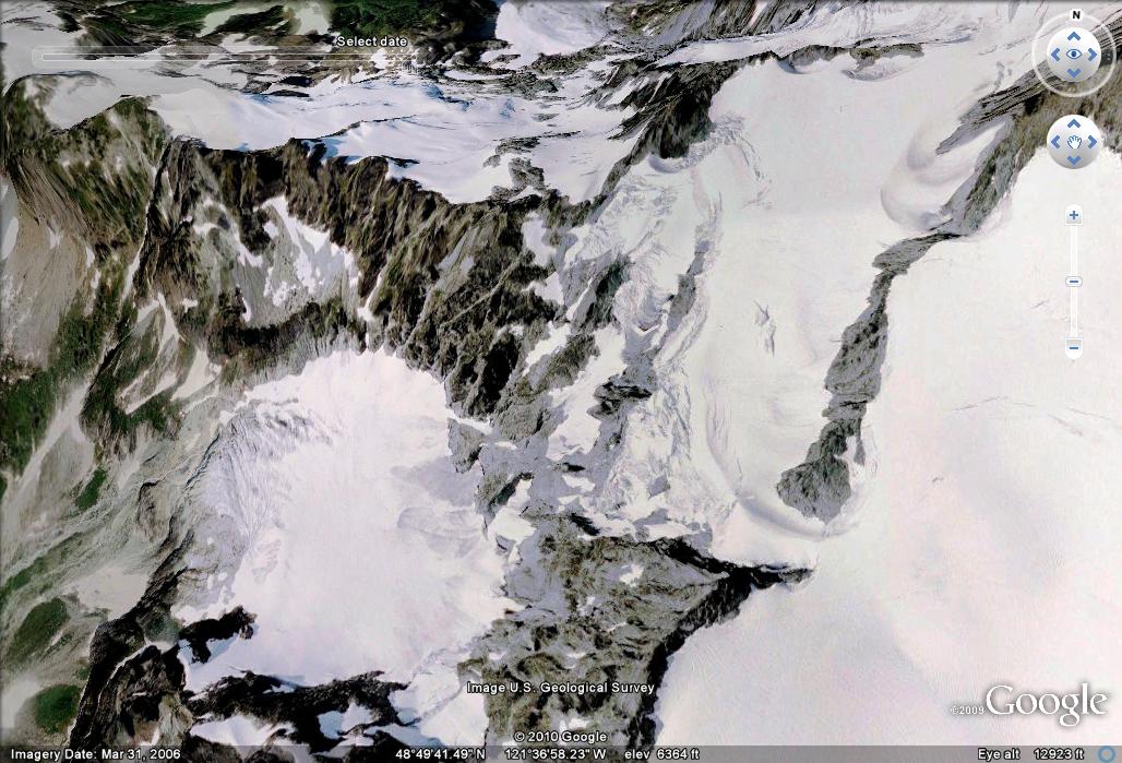
  The number of crevasses in the nearly flat main basin of the glacier has diminished as the glacier has thinned and slowed over the last 20 years. The glacier lost nearly all of its snowcover in several recent years 2005, 2006 and 2009. In one month we will back on this glacier investigating its mass balance and terminus position. It is a key glacier this year, as the winter was quite warm yet wet, spring was not. Thus, snowpack was much below average below 5000 feet and likely above average above 7000 feet, where the transition will be is the key. In the google earth images below Lower Curtis Glacier is in the left center. The terminus is exposed bare glacier ice and is heavily crevassed. Typically the terminus loses its snowcover in mid-June. Below the terminus there are frequent ice and rock falls, so it is best not to go below the terminus. For our measurements we need to, but we always finish by 9 am.
 .
.


 Dean of Academic Affairs at Nichols College and Professor of Environmental Science at Nichols College in Massachusetts since 1989. Glaciologist directing the North Cascade Glacier Climate Project since 1984. This project monitors the mass balance and behavior of more glaciers than any other in North America.