
26 March 2011
Archival Gold: Bureau of Land Management Image Library
Posted by Jessica Ball
I’ll be spending all day tomorrow at the Buffalo Geological Society’s annual Gem and Mineral Show, so here’s a photo resource post to fill space until I can get back to talking about earthquakes & volcanoes.
The Bureau of Land Management is responsible for maintaining the public lands which don’t fall under the purview of the Park Service – which is more than 253 million acres spread over the entire country. They also maintain an Image Library with great photos of the holdings, as well as preservation, wildlife and fire management activities. There are a lot of geologic features in these photos, but it takes a bit of digging to find them (unless you know the name of the area you’re searching for). Here are some highlights:

Spatter cone on the Wapi Flow, Craters of the Moon National Monument and Preserve, Idaho, 2008. Bureau of Land Management
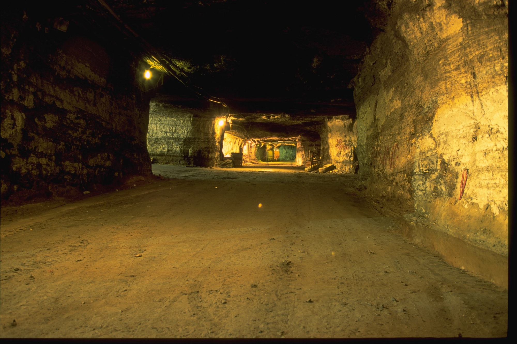
Underground lead mining near Viburnum, Missouri in the Mark Twain National Forest, 2008. Bureau of Land Management
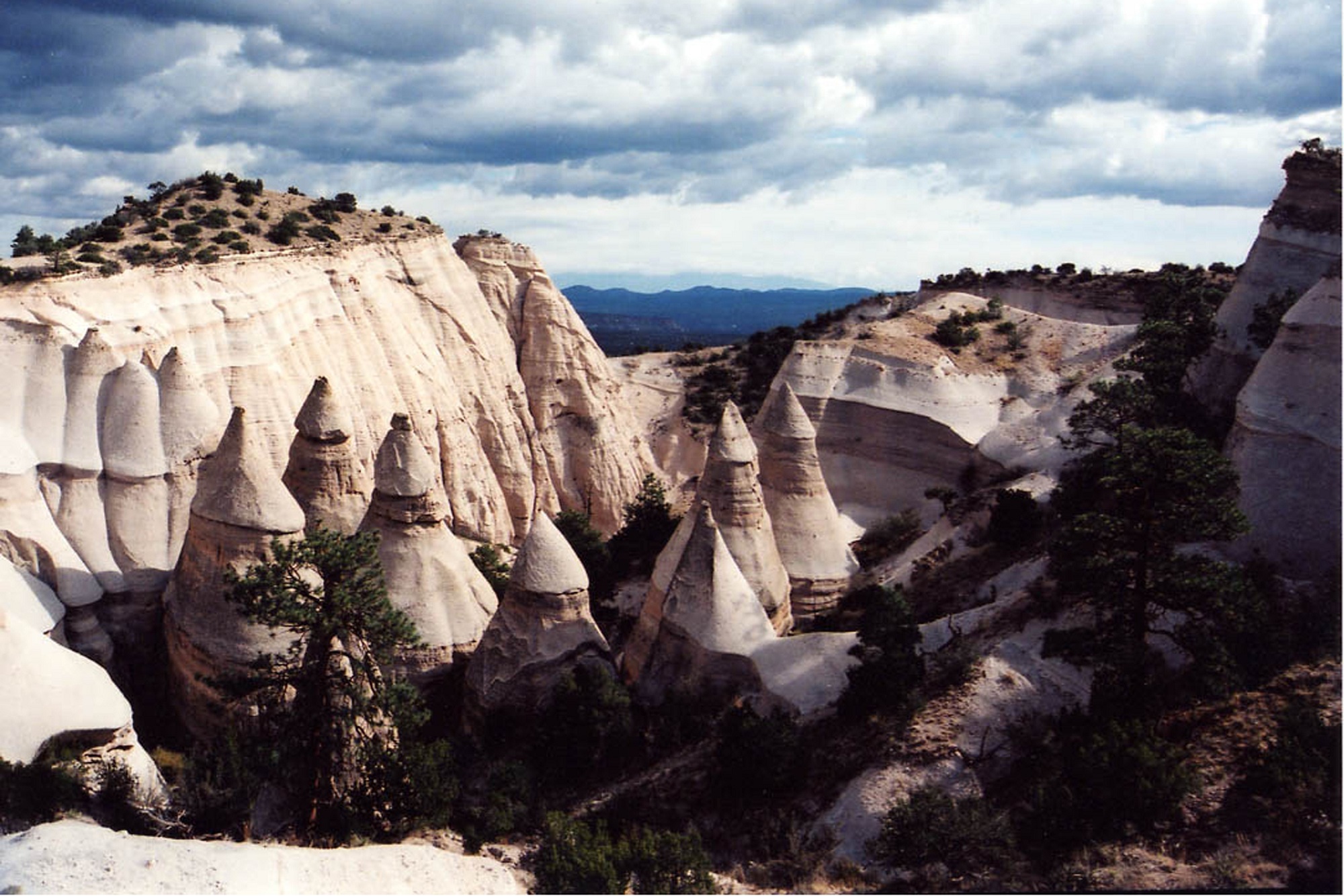
Kasha-Katuwe Tent Rocks National Monument, New Mexico, 2009. Bureau of Land Management

Dust devil in a dry lake bed, Lakeview District, Oregon, 2008. Bureau of Land Management
 Jessica Ball is a volcanologist at the U.S. Geological Survey, researching volcanic hydrothermal systems and stability, and doing science communication for the California Volcano Observatory. She previously worked at the Geological Society of America's Washington DC Policy Office, learning about the intersection of Earth science and legislative affairs. Her Mendenhall postdoc and PhD focused on how water affects the stability of volcanoes, and involved both field investigations and numerical modeling applications. Her blogging covers a range of topics, from her experiences in academic geosciences to science outreach and communication to her field and lab work in volcanology.