11 March 2021
The Tavernola landslide: a potential tsunami-inducing failure causing concern in Italy
Posted by Dave Petley
The Tavernola landslide: a potential tsunami-inducing failure causing concern in Italy
This morning, loyal reader Stéphane Baize (@Stef_EQ_Geology) tweeted an Italian newspaper article about the Tavernola landslide on the banks of Lago d’Iseo in northern Italy. In recent days a large section of mountain has started to move at a significant rate, driving fears of a major slope collapse. The estimated volume of the resultant landslide ranges from 440,000 to 2.1 million m³. The slope is steep, suggesting that the mass could accelerate rapidly. Modelling indicates that in the worst case scenario the resultant tsunami could be large – wave heights of 9 metres above the current lake level are possible. The banks of the lake are densely populated, the list of settlements at risk includes Tavernola, Montisola, Marone, Sulzano, Iseo, Sale Marasino, Castro and Paratico.
The wave would hit Montisola within 30 seconds of the landslide entering the water. Tavernola would be struck a minute later.
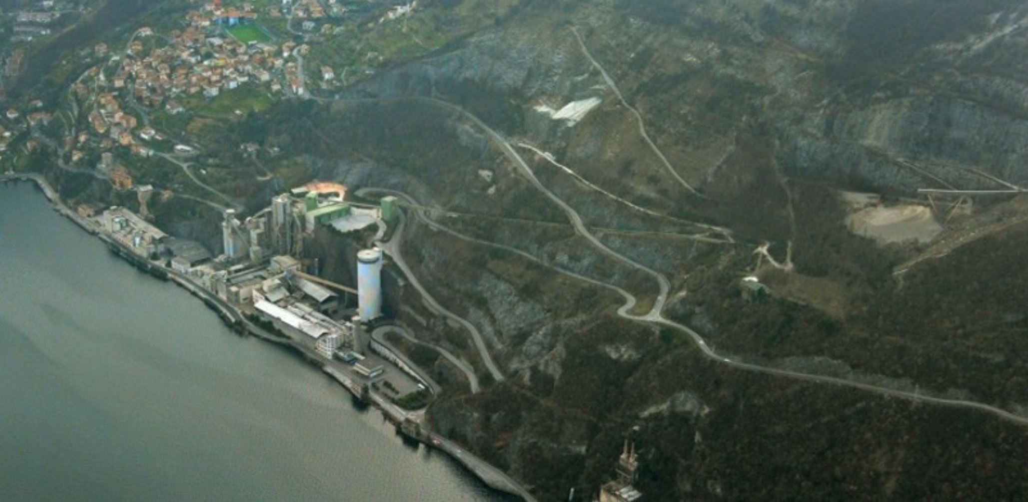
The newspaper L’Eco di Bergamo has an image of the site of the unstable slope:-

A panoramic view of the site of the Tavernola landslide in Italy. Image from L’Eco di Bergamo / San Marco.
.
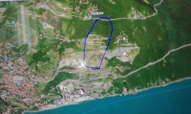
Meanwhile, Tutto Notizie has an image indicating the approximate location of the unstable mass:-

The approximate boundaries of the Tavernola landslide. Image from Tutto Notizie.
.
The outcome of this event will depend on a range of complex parameters, most of which are difficult to predict. Failure of the Tavernola landslide is not inevitable, and indeed there are signs that the landslide has slowed in recent hours. Those who followed the trials and tribulations of the Mannen landslide in Norway will understand how difficult it is to predict failure.
Second, the volume of rock that could fail is hard to estimate. This will be determined by the dynamics of the slide, the structure of the rock mass and the ability of the landslide to entrain material downslope.
Third, the failure sequence will be key. Will the Tavernola Landslide fail as a single block, or will there be multiple events? The resultant tsunami is very dependent on this component, but again it is difficult to predict.
In the meantime, the authorities have little choice but to manage the risk and to monitor the slope, hoping that the movement will stop. This will then provide time for a solution to be found.
Of course I am bound to note that this landslide is occurring on a slope that has been extensively quarried, and thus is likely to be a manmade event, at least in part.


 Dave Petley is the Vice-Chancellor of the University of Hull in the United Kingdom. His blog provides commentary and analysis of landslide events occurring worldwide, including the landslides themselves, latest research, and conferences and meetings.
A ground-based radar is currently used to monitor the landslide. In the past it was used to monitor periodically the slope (e.g. 2–3 campaigns per year), but since a few weeks ago it has been permanently installed to provide near real time displacement measurements.
Is the landslide related to prior or ongoing quarrying activities on the slope between the lake and Squadre?