
15 January 2021
The US National Landslide Preparedness Act
Posted by Dave Petley
The US National Landslide Preparedness Act
Amongst the remarkable political shenanigans in the United States in recent weeks, in which the term landslide has been used in an entirely different context, there has been one piece of good news. Earlier this week the President signed into law H.R. 8810, the National Landslide Preparedness Act.
This piece of legislation, initially proposed by Representative Suzan DelBene (D-WA), establishing a National Landslide Hazards Reduction Program in the USGS, with the aim of improving identification and understanding of landslide risks; of protecting communities; of saving lives and reducing property losses; and of improving emergency preparedness. This is a tremendous and very important step forwards, finally recognising at a federal level landslides as a significant hazard and establishing the means to start to improve their management.
The USGS shall, among other things
- develop and publish a national strategy for landslide hazards, risk reduction, and response in the United States (including territories);
- develop and maintain a publicly accessible national landslide hazard and risk inventory database;
- expand the early warning system for debris flow; and
- establish emergency response procedures for the rapid deployment of federal scientists, equipment, and services to areas impacted by a significant landslide event.
The USGS may provide grants to research, map, assess, and collect data on landslide hazards.
The National Science Foundation may provide grants to eligible entities for landslide research.
The USGS shall establish the 3D Elevation Program and the 3D Elevation Federal Interagency Coordinating Committee, and (2) may make grants and enter into cooperative agreements to facilitate the improvement of nationwide coverage of 3D elevation data.
There is a host of good things about this, including the development of a national strategy and the establishment of a LIDAR based programme to generate digital elevation data.
The timing is very pertinent, as earlier this week a really significant rainfall event occurred in the Pacific Northwest, triggering many landslides. The most significant appears to have occurred close to Dodson in Oregon, where a large debris flow killed a motorist, Jennifer Moore. A search is underway to try to recover her remains. Multnomah County Sheriff’s Office has tweeted this image of the site:-
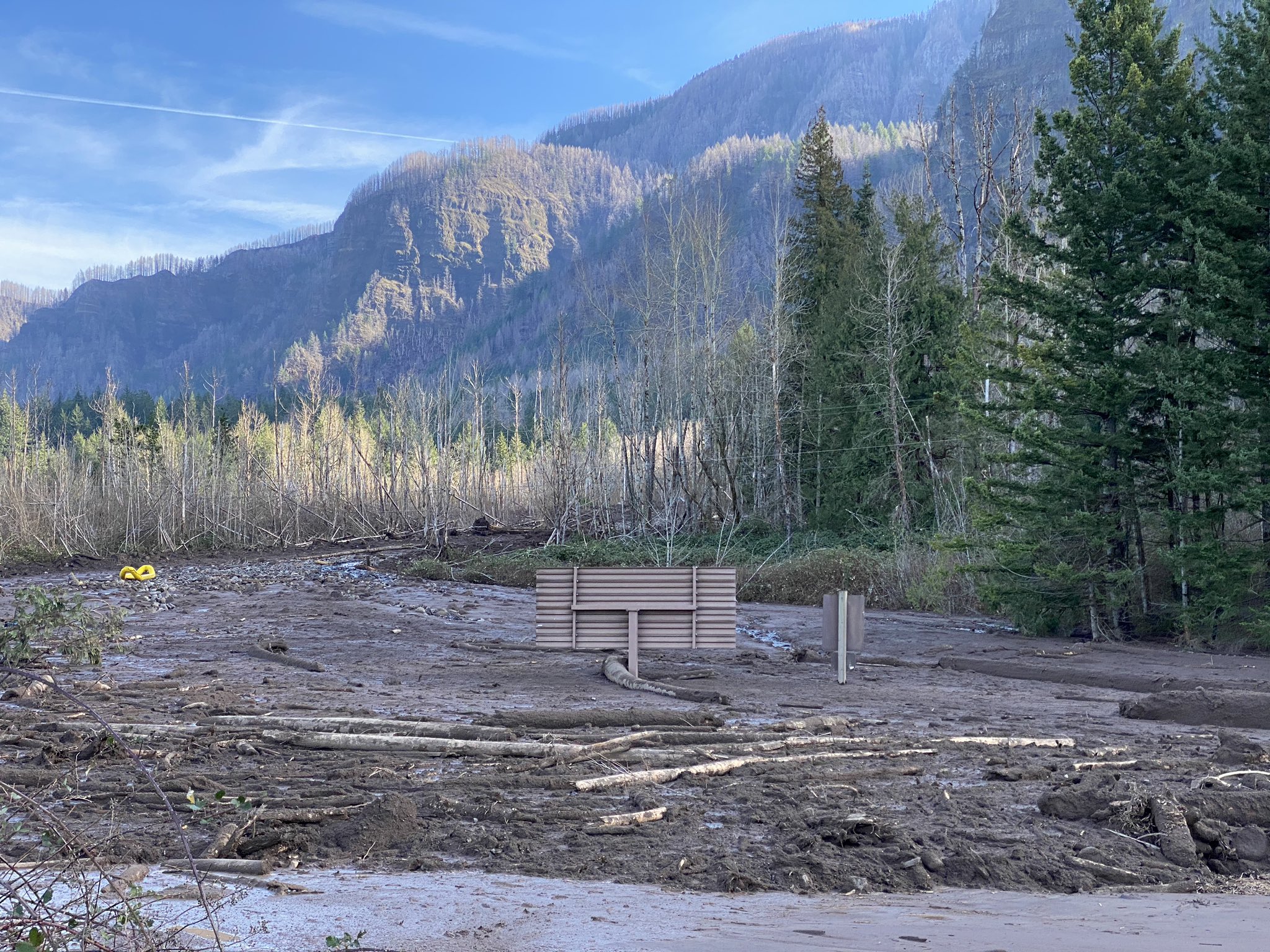
The fatal landslide in Dodson County, Oregon, which illustrates the need for the National Landslide Preparedness Act. Image tweeted by the Multnomah County Sheriff’s Office
 Dave Petley is the Vice-Chancellor of the University of Hull in the United Kingdom. His blog provides commentary and analysis of landslide events occurring worldwide, including the landslides themselves, latest research, and conferences and meetings.
Dodson is a place name, not a county. There was a significant debris flow there in the late 1990s as well after a significant rain event.
[Thanks, corrected. D.]
http://web.pdx.edu/~i1kc/publications/Dodson/
https://goo.gl/maps/ovMqGohsj6s7k4zb7
Are there other countries with a federal program to manage landslides? And if so, how does this program from the US compare?
This appears to be modeled after the National Earthquake Hazards Reduction Program. Also, it appears to be a move to shift the elevation inventory from NOAA (kind of an odd place for it) to the USGS. Note that a huge part of the US already has some level of topo lidar (though much of this is in pretty flat regions); see
https://coast.noaa.gov/inventory/
3DEP products, including LIDAR are available here: https://viewer.nationalmap.gov/basic/#/
and exclusively LIDAR and DEM here https://prd-tnm.s3.amazonaws.com/LidarExplorer/index.html#/
Here is the NOAA Data Access Viewer: https://coast.noaa.gov/dataviewer/#/lidar/search/
Here are 2 file lists (different ftp subdirectories) of the NOAA Digital Coast (and navigable rivers) project:
https://coast.noaa.gov/htdata/lidar1_z/ https://coast.noaa.gov/htdata/lidar2_z/
And a NOAA Digital Coast search tool: https://coast.noaa.gov/digitalcoast/data/
Hi Derrick.
Addressing the response part of landslide management…New Zealand developed guidelines for post-disaster rapid building assessment for geotech life-safety issues (i.e. landslides). These guidelines were developed after the 2011 Christchurch earthquake; there were about 500-1000 homes around Christchurch either directly impacted by, or exposed to, significant landslide/rockfall hazards; some of these homes were “okay” from a structural standpoint, but they were judged unsafe to occupy due to the geo-hazard. We needed a systematic way to placard buildings to prohibit or restrict access for geotech reasons. (Ironically, the guidelines were in draft form when the 2016 Kaikoura earthquake happened, so they were field-tested and improved prior to publication.)
Link to the whole suite of guidelines below — the “Geotechnical” set addresses the landslide hazards.
https://www.building.govt.nz/managing-buildings/managing-buildings-in-an-emergency/rapid-building-assessment-resources/
All excellent comments and links .. nice to see the ENERGY surrounding this effort, 5 years in the making !!!
YES…. USGS is now the holder of the Stewardship of these funds and it is NOT a LiDAR show !!! LiDAR is there as a base layer but seeing repetitive LiDAR acquisitions for change monitoring is less likely. This is the domain of terrestrial and satellite InSAR .. and what we do everyday. [email protected]