6 August 2010
Landslide at Meager Creek, British Columbia, Canada
Posted by Dave Petley
Thanks to Robin Beech for the heads-up on this one. CBC News is reporting a large landslide at Meager Creek, a hot springs area north of Pemberton:
“A two-kilometre-wide landslide has been reported near Meager Creek Hot Spring, about 95 kilometres north of Pemberton, B.C. The flow of rock and soil debris has covered a river in the area, causing water to become dammed upstream of the slide. Authorities say an unknown number of people are trapped in the area, but there is no word on injuries.”
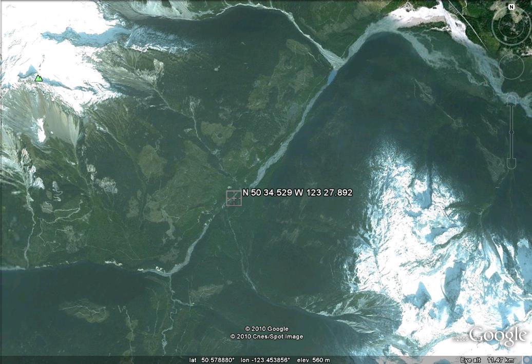
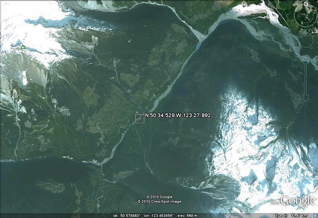
This appears to be the Meager Creek area:
Image from here. CTV has a very poor quality image of what appears to be a large slide:
Even the most cursory look at the Google Earth image for this area shows that this is certainly not the first large, valley-blocking landslide in Meager Creek:


 Dave Petley is the Vice-Chancellor of the University of Hull in the United Kingdom. His blog provides commentary and analysis of landslide events occurring worldwide, including the landslides themselves, latest research, and conferences and meetings.
The poor quality image is unfortunately the result of a large number of forest fires in the area; I live 300km away on Vancouver Island and it is smoky here too! Apparently all the campers have been airlifted out now, so everyone is safe.
This is the location of several previous landslides, including a few in 1990 that closed the hot springs, and the 1975 Devastation Creek event that killed a geophysical survey crew. The major local paper (Vancouver Sun) is emphasizing that more events are expected over the long term as glacial retreat destabilizes till. (http://www.vancouversun.com/technology/Unstable+volcanic+soils+Mount+Meager+near+Pemberton+root+cause+continuing+slides/3369600/story.html)
Not quite safe yet, the Lillooet Band has called an evacuation alert and Pemby RCMP are telling people to stay away from Pemberton. Meager Creek is completely blocked and filling up, the Lillooet River has dropped by several feet since this morning.Here's some raw footage of the plug, check out how high up the valley walls the trees have been blasted away:http://www.ctvbc.ctv.ca/servlet/an/local/CTVNews/20100806/bc_mudslide_100806/20100806?hub=BritishColumbiaHomeIt reminds me of Mt. St.Helens.This is a HUGE landslide, it appears the Capricorn glacier collapsed and triggered the slide.
http://www.theglobeandmail.com/news/national/british-columbia/bc-village-faces-evacuation-after-massive-landslide/article1664661/
Vancouver Sun's updated article has 11 photos of the landslide.
One of my flickr contacts is a member of the local SAR team and has some good photos up on his page:http://www.flickr.com/photos/dbsteers/
News article, bit more detailed.www.globalwinnipeg.com/world/people+evacuation+alert+after+massive+slide/3370074/story.html
Better Photoshttp://www.flickr.com/photos/dbsteers/4868464290/in/photostream
http://www.timescolonist.com/Flood+fears+have+eased+officials+likely+rescind+evacuation+order/3372695/story.htmlThe lake formed by the dam has been drained, and the evacuation order was lifted. Yay for happy endings. Also, apparently this has been classified as the 2nd largest landslide in Canadian history.
Does anyone know if the Hurley road that leads to Braelorne and Goldbrige is still open ? Any info would be appreciated.
The hurley is open. I was actually in the Lillooet Rec Site with 3 guys when the slide hit, it was insane, the pique has an article about our experience. I think the sun will have something about tomorrow too. The scale of movement of mass is simply astonishing, the slide left marks that look like a water slide hundreds of meters up the valley sides. Once we got a look at how bad it was from the air, we realized how lucky we were. Were we ever happy to see Dave, (flickr photos above)