
8 August 2010
First image from the Gansu landslide
Posted by Dave Petley
Xinhua has now published an image, apparently taken using a mobile phone, of the landslide in Chengguan town:

It is now clear that the landslide affected Zhouqu town, which is shown on the Google Earth image below:
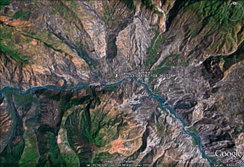
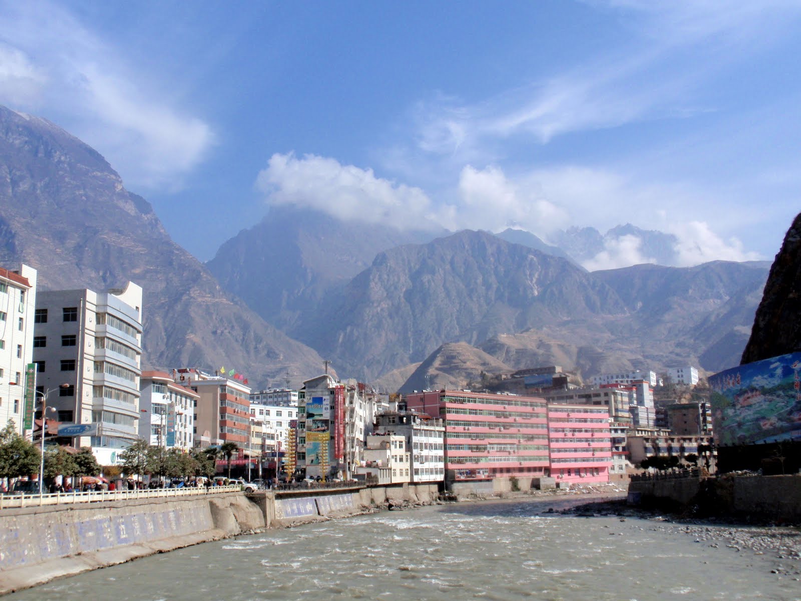
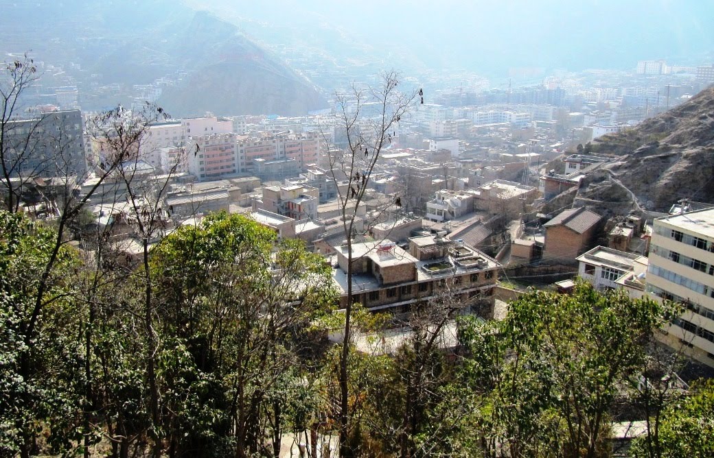
Unfortunately, high resolution images are not available on Google Earth for this area. These two Panoramio photos give a good idea of what the town and adjacent mountains are like:
 Dave Petley is the Vice-Chancellor of the University of Hull in the United Kingdom. His blog provides commentary and analysis of landslide events occurring worldwide, including the landslides themselves, latest research, and conferences and meetings.
There is an aerial view in the video accompanying this article.