
24 November 2009
More El Salvador lahar satellite imagery
Posted by Dave Petley
In an earlier post today I highlighted the availability of satellite imagery covering the El Salvador lahar disaster, triggered by Hurricane Ida earlier this month. Whilst sitting in a conference session this morning it occurred to me that the Disaster Charter, which provides satellite images for disaster relief and recovery operation, was also triggered by this event. So I had a quick look at the web page for this triggering of the charter, and sure enough there are some good materials there.
Perhaps the best image is this interpretation of the lahar tracks, produce using the Taiwanese Formosat2 satellite (famous for its images of Beichuan and Tangjiashan after the Wenchuan Earthquake) – do click on the image to see this properly, it is worth it!:
 There is also a more detailed look at the town of Guadeloupe using the same satellite, showing before and after images of the town:
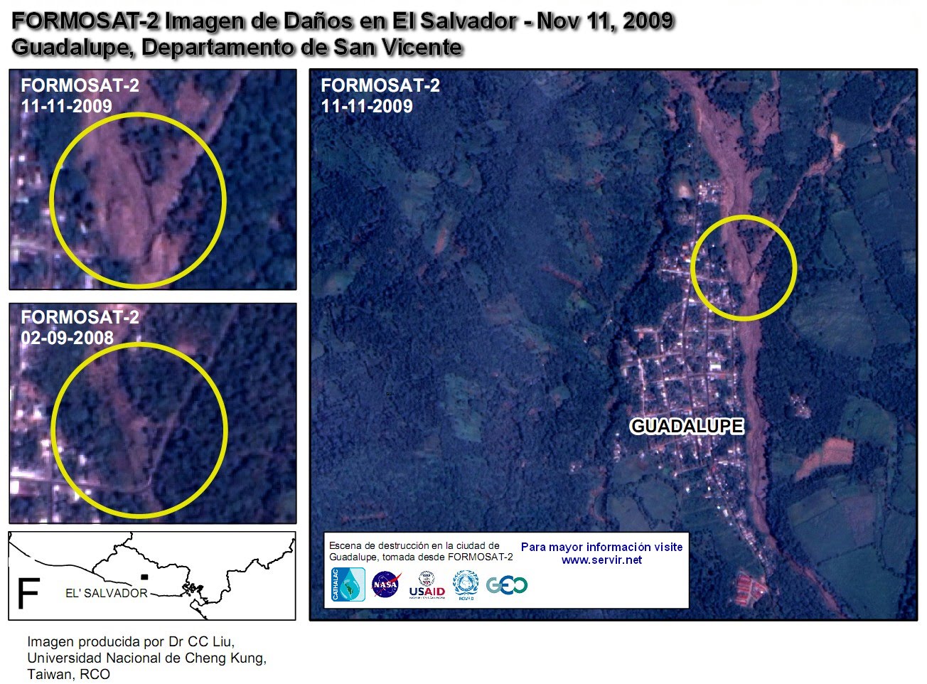 Viewed in conjunction with the NASA images in my earlier post, this is a very useful resource.
 Dave Petley is the Vice-Chancellor of the University of Hull in the United Kingdom. His blog provides commentary and analysis of landslide events occurring worldwide, including the landslides themselves, latest research, and conferences and meetings.