
30 October 2009
Typhoon Mirinae (Santi) is likely to pass across Luzon in the next 24 hours
Posted by Dave Petley
The latest track forecasts for Typhoon Mirinae (Santi) suggest that a direct hit on Luzon is now highly likely: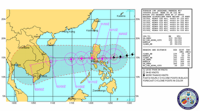 Mirinae is not especially strong in terms of windspeed, but the eTRaP data suggest that rainfall volumes are high (this is the precipitation forecast for the next 24 hours):
 The topography of this area is pretty mountainous, and the typhoon will pass close to Manila:
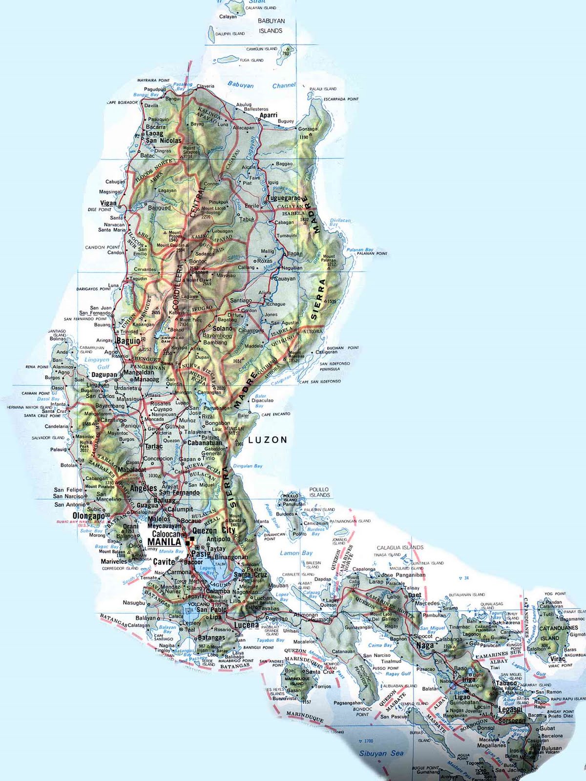 The ground is likely to still be very wet from the two earlier typhoon events, although in these residual soils the drainage rate is probably quite high, so there is probably a higher likelihood of landslides than would normally occur for a typhoon of this size.
 Dave Petley is the Vice-Chancellor of the University of Hull in the United Kingdom. His blog provides commentary and analysis of landslide events occurring worldwide, including the landslides themselves, latest research, and conferences and meetings.