
6 August 2015
16th century Italian earthquake changed river’s course
Posted by Nanci Bompey
By Nanci Bompey

Partial reproduction of a 16th century painting showing the position of the Po River (corso principale del Po) and Ferrara (yellow arrow) before the river changed course.
Credit: Egnazio Danti
In 1570, a 5.8-magnitude earthquake struck the northern Italian city of Ferrara, causing dozens of deaths, major damage to the city and thousands to flee. At the time, Pope Pius V said God sent the earthquake to punish the city’s duke who had given hospitality to Jews and Marranos who had escaped Spain.
Now, a new study finds that the 16th century earthquake and subsequent aftershocks were the last step in a tectonic process that occurred over thousands of years and changed the course of the Po River. The final rerouting of the river left Ferrara dry by the end of the 16th century, an event depicted in a painting that now hangs in the Vatican Museum.
The new research used historical data and new modeling techniques to find that the 1570 earthquake occurred on a fault buried underneath the sediments of the Po River, about 14 kilometers (9 miles) north-northeast of Ferrara. The fault corresponds to the outermost, buried front of the northern Apennine Mountains that has slowly risen over millions of years, causing uplift of the southern portion of the Po Valley.
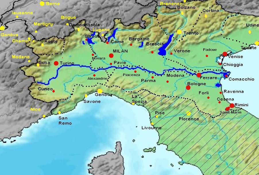
The Po River valley showing the present location of the Po River north of Ferrara.
Credit: Wikimedia Commons
Over the past 2,800 years, this uplift forced the Po River to move about 20 kilometers (12 miles) north between the towns of Guastalla and Ficarolo. The 1570 earthquake was the “straw the broke the camel’s back” in the river’s diversion, according to the study’s authors. The earthquake and the aftershocks that followed lifted the valley by 10 to 15 centimeters (4 to 6 inches) and rerouted the southern portion of the Po River to its present location 40 kilometers (25 miles) north over the ensuing years, according to the study that has been accepted for publication in Journal of Geophysical Research-Solid Earth, a publication of the American Geophysical Union.
The new study also finds that the fault responsible for the 1570 earthquake is not the same one that caused a major earthquake in the Emilia region on May 20, 2012. The study’s authors said the 2012 earthquake did not transfer stress toward the fault that ruptured in 1570, reducing the risk of that fault being triggered again.
Knowledge of past earthquakes provides essential information for scientists to understand the seismicity of a region and implement proper prevention measures, according to Livio Sirovich and Franco Pettenati, scientists at the National Institute for Oceanography and Experimental Geophysics in Trieste, Italy, and authors of the new study.
— Nanci Bompey is the public information manager at AGU. A press release about this study was also posted on the OGS website.


