
16 May 2019
Earthquake in 2009 intensified American Samoa’s rising sea levels
Posted by larryohanlon
Island most severely afflicted by earthquake is sinking, potentially increasing coastal flooding and causing sea levels to rise faster than global average.
By Brendan Bane
The 2009, magnitude-8.1 Samoa earthquake dealt a great deal of damage to the Samoan Islands: Tsunami waves as high as 14 meters (46 feet) wiped out multiple villages, claiming nearly 200 lives and severely damaging water and electrical systems.
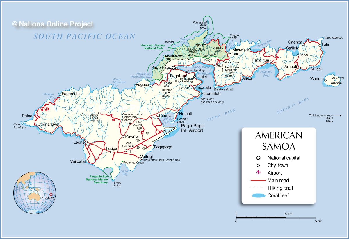
New research reveals the damage is likely to continue in the island Tutuila, also known as American Samoa. A new study shows the island is now sinking, a product of post-earthquake tectonic shifting that will likely continue for decades.
According to the new study, published in AGU’s Journal of Geophysical Research: Solid Earth, American Samoa’s sinking has intensified the island’s already rising sea levels. The authors predict that, since the 2009 Samoa earthquake, American Samoa’s surrounding sea levels will climb an additional 30-40 centimeters (12-16 inches) throughout this century.
The island’s sea levels are now rising at an accelerated rate roughly five times higher than the global average, threatening regular coastal flooding in an area that has seen cyclones and other extreme weather in recent years, according to the new study.
Before the earthquake, American Samoa’s sea levels were already climbing two to three millimeters (0.07 to 0.11 inches) each year— a rate caused by the melting of polar ice and glaciers, as well as the expanding, warming ocean. Today, said the study’s authors, those two rates climb in tandem.
“Before the earthquake, American Samoa was experiencing sea level rise that was roughly equal to the global average. But after the earthquake, that rate drastically increased,” said Shin-Chan Han, Professor of Geodesy at the University of Newcastle in Callaghan, Australia and lead author of the new study. “That’s alarming to me because of its many implications.”
Tremors with lasting impact
The Samoan Islands are an archipelago in the central South Pacific, comprising a handful of islands that are home to roughly 250,000 people. Tropical forests cover portions of the larger islands, which are among the largest of the Polynesian islands.
The Samoa earthquake was the largest of 2009 and gained international attention, as then-U.S. President Barack Obama declared it a major disaster, directing federal disaster aid to relief efforts. The Government of Samoa estimated the total cost of the earthquake’s damage to be just shy of $150 million.
The nature of the tremors were unique, according to the authors, in that they arose from two, near-simultaneous earthquakes emanating from the northern tip of the Kermadec-Tonga subduction zone. The Samoan Islands are situated within the Pacific Ring of Fire, a 40,000-kilometer (25,000-mile), volcanically-active area where several tectonic plates smash, grind and slide past one another to produce 90 percent of Earth’s earthquakes.
To better characterize the 2009 event, the authors assessed changes in Earth’s gravity field caused by tectonic activity from GRACE satellites, used GPS to track the land’s movement and analyzed past sea level changes by examining tide gauge records and satellite altimeter data. They then modeled the area’s tectonic activity to estimate how the land will continue shifting in response to the Samoa earthquake.
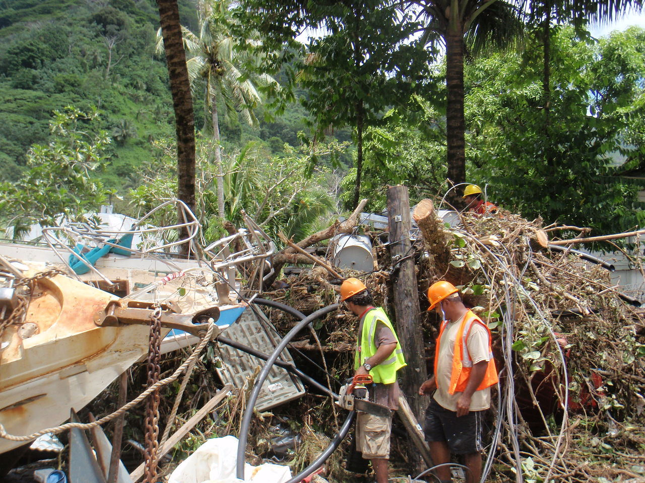
Crews working near the damage from the 2009 tsunami in American Samoa. Lorn Cramer/Flickr, Wikimedia Commons
The authors found that, because of the Samoan Islands’ placement around the fault zone, each island is responding differently. In Samoa, for example, tectonic shifting now pushes the island both horizontally and vertically at equal rates, according to the study. The American Samoa island, however, now moves mostly in a vertical direction, sinking into the Earth in a geological phenomenon known as subsidence, at a rate twice as fast as Samoa.
Because of this movement, the authors now consider American Samoa an “extreme case,” as tides may reach increasingly farther inland over the coming decades, potentially flooding the main road running along the island’s perimeter and near its coast.
“The ocean is eating up their land,” said Han. “The major road in American Samoa is around the coastal area, and the coastal area is where they will see the impact of nuisance flooding.”
Han said the study highlights the need for government agencies to re-evaluate sea level rise in afflicted areas after large earthquakes, as tectonic movement can greatly influence the rate that sea levels rise, and should be considered in addition to climate-induced changes.
“When the land subsidence effect is not considered we may misinterpret sea level rise,” Han said. “Land motion is not ignorable. Sometimes, the land motion effect is greater than the climate change effect.”
Brendan Bane is a freelance science writer.


