
14 July 2013
Stormy Weather, Climate Change and the Chesapeake Bay
Posted by Dan Satterfield
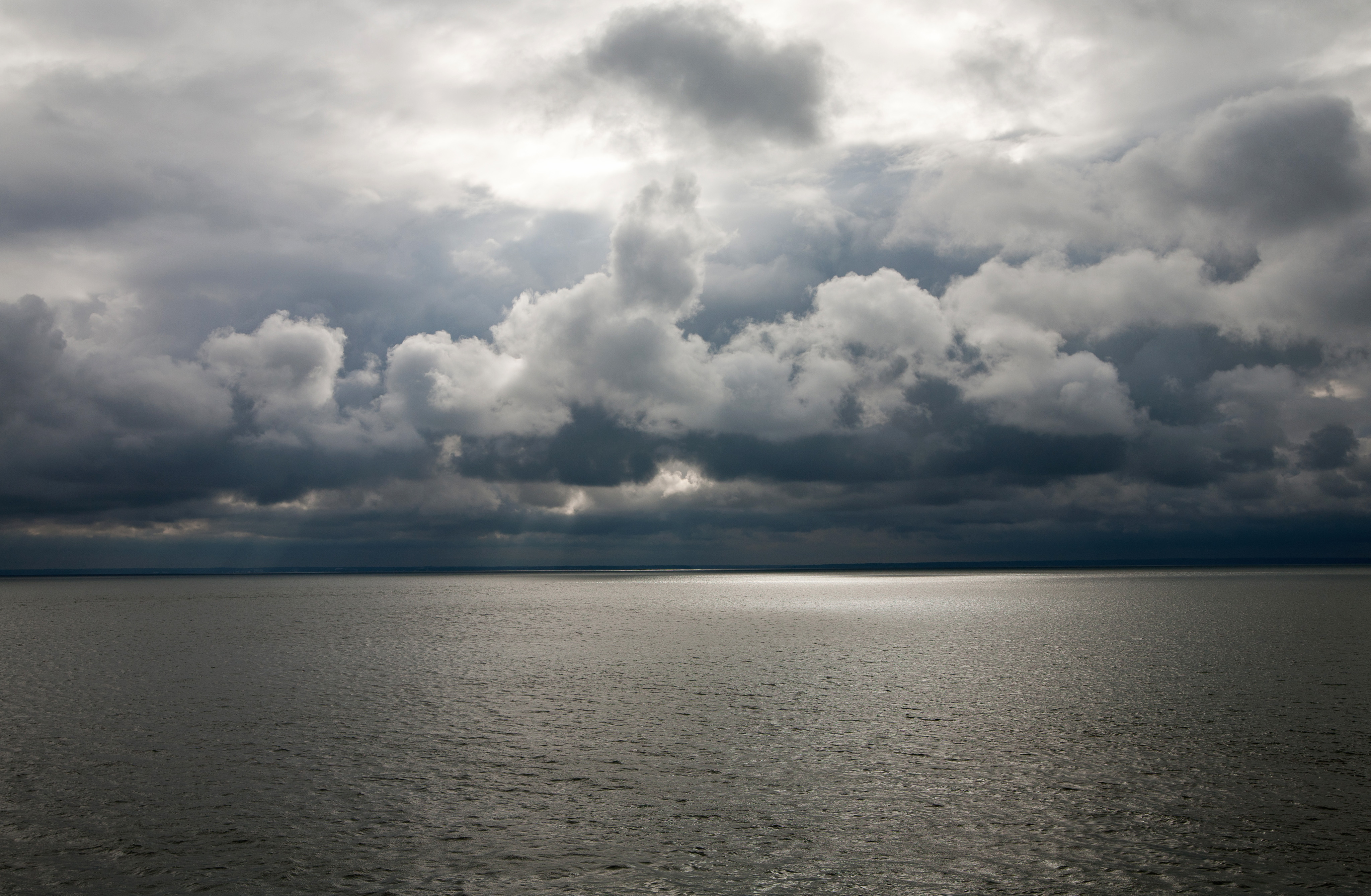
I snapped this on the bridge to Hooper’s Island, on the Eastern Shore of Maryland Friday evening. Looking west over a stormy Chesapeake Bay.
 I spent Friday evening driving through Blackwater National Wildlife Refuge, and then down to Hooper’s Island in the Chesapeake Bay. It was a stormy evening, with over 7 inches of rain reported across Delaware and the Eastern Shore of Maryland. I was hoping to take some stormy sky pics, and I was not disappointed. Blackwater NWR is a beautiful area of marshes, and is a must see for those in the area. It’s also a birders paradise.
Blackwater, and Hooper’s Island are both already being affected by the warming climate, with the sea level rise in the past century already changing the landscape. Several studies over the past few years have shown that sea level is rising more rapidly in this area, and will likely continue to do so for a number of reasons. I was glad to see that there is an informational sign about how sea level rise is affecting the refuge, at the parks beautiful lookout point.
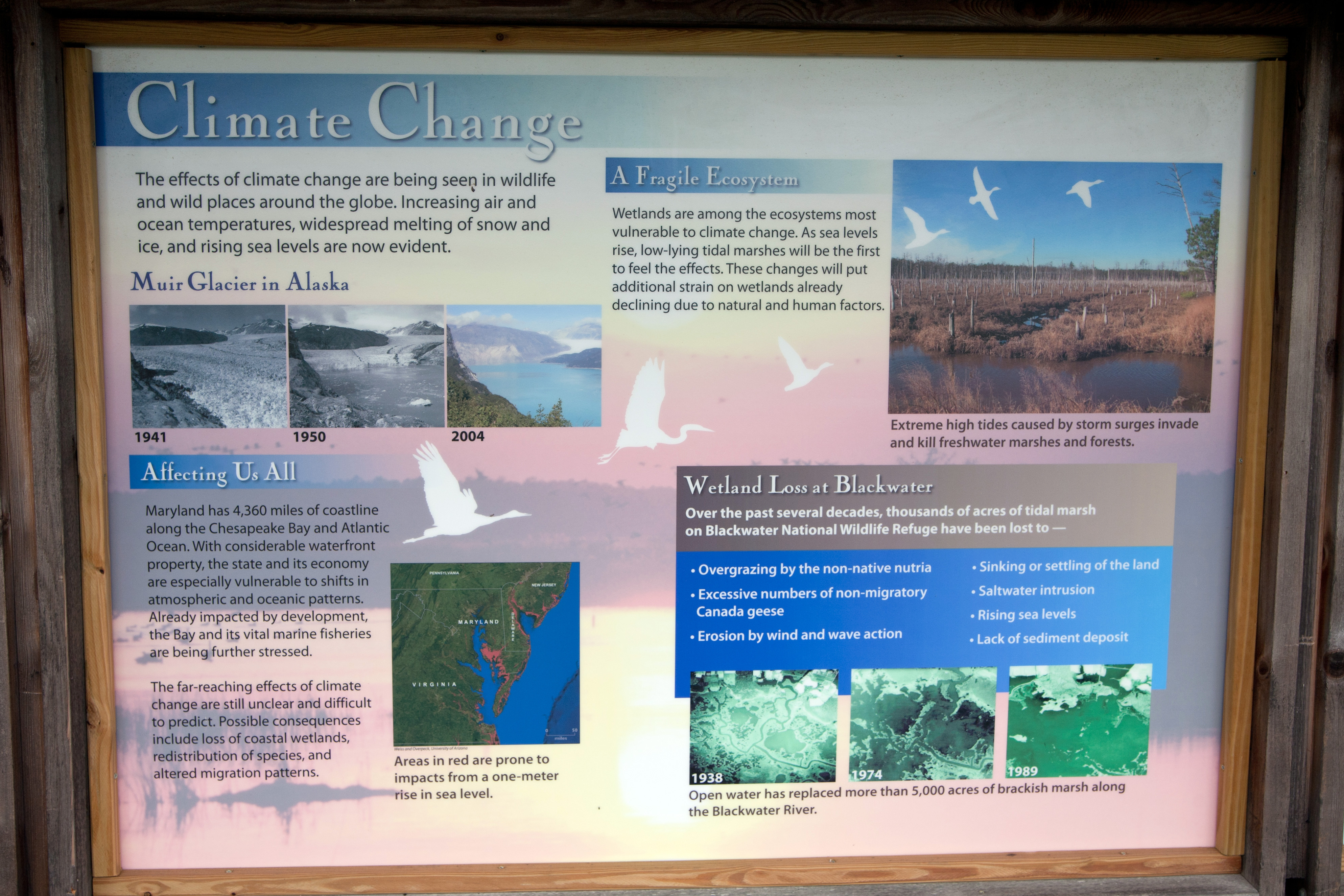
Informational sign on climate change at the lookout in Blackwater NWR, near Cambridge, MD.
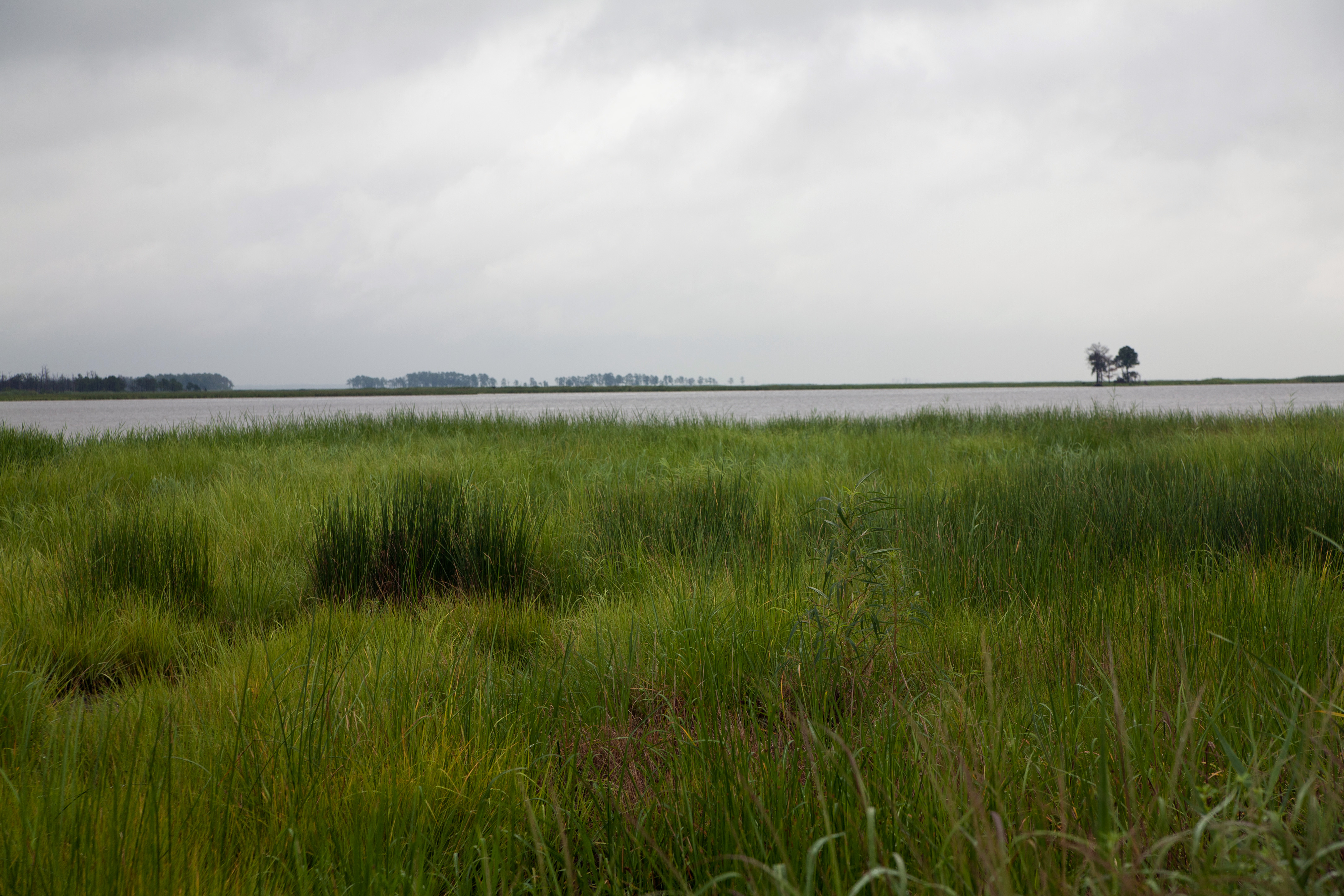
Blackwater NWR- These are all Dan’s pics.
The University of Maryland has a brand new interactive website, where you can explore the effects that sea level rise will have on areas around the Chesapeake Bay. The best science now estimates a rise of around one meter in the next century, and this will put most of present day Blackwater underwater.
IF we continue to use fossil fuels instead of more sustainable energy, then the homes and 350 year old fishing industry on Hooper’s Island will likely disappear as well.
 Dan Satterfield has worked as an on air meteorologist for 32 years in Oklahoma, Florida and Alabama. Forecasting weather is Dan's job, but all of Earth Science is his passion. This journal is where Dan writes about things he has too little time for on air. Dan blogs about peer-reviewed Earth science for Junior High level audiences and up.