23 June 2012
Tropical Trouble Brewing In The Gulf
Posted by Dan Satterfield
UPDATE 4PM EDT Saturday: As I thought- Tropical Storm Debby has formed. NHC Issued tropical storm warnings for the Louisiana Coast.
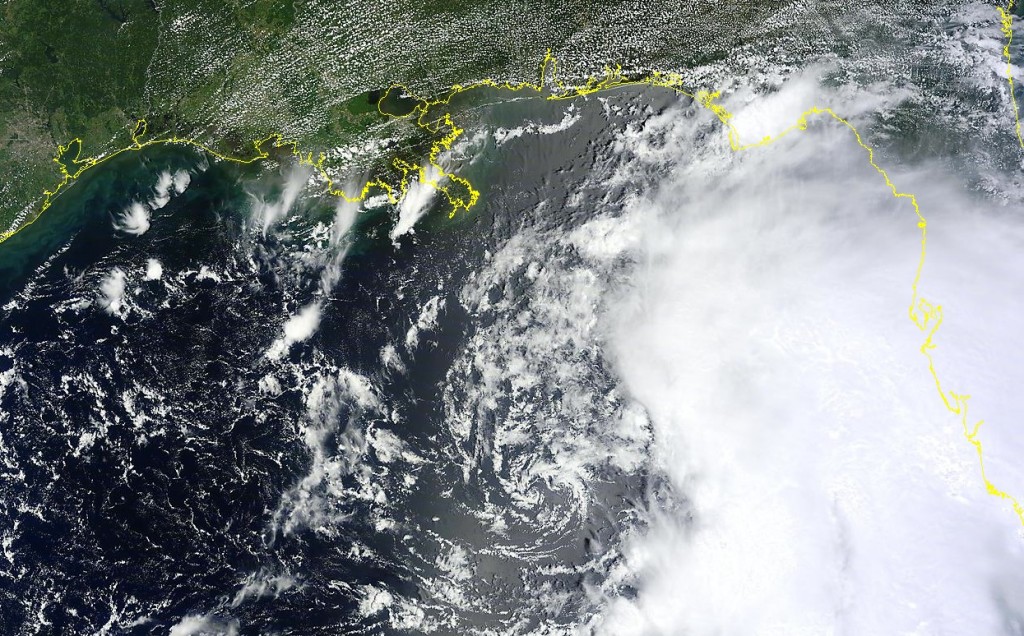
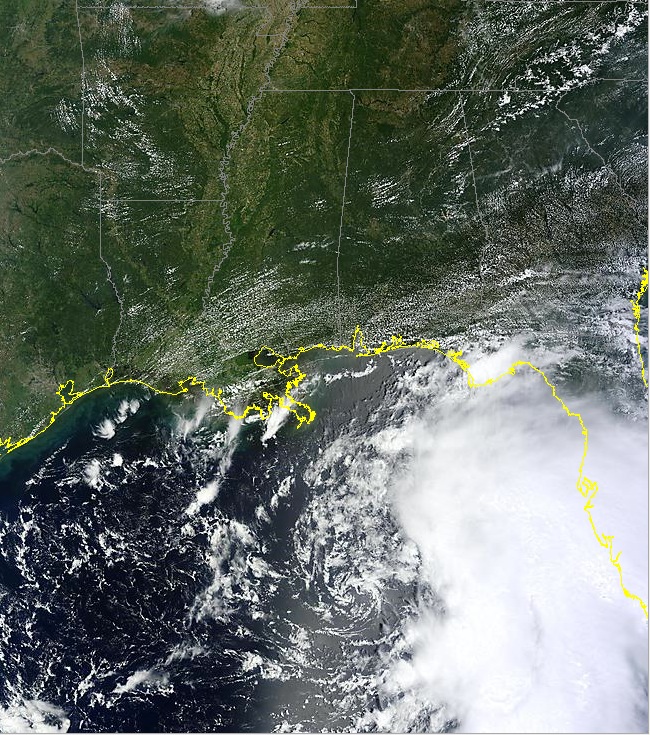
We may already have a tropical depression in the Gulf this afternoon, and we may have Tropical Storm Debby in a few hours. The area of thunderstorms is definitely looking more organised and a weak circulation is visible. There is no convection around the center yet, so it may be awhile. Once the wind shear weakens (as is forecasted by the models) this system could develop fairly quickly.
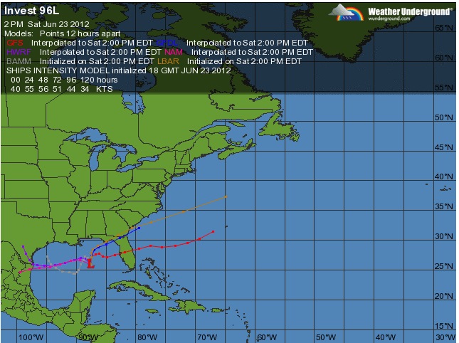
Just where its will go is more difficult, but with each model run, the threat to the western Gulf goes up… i.e. Texas, and Louisiana. With the Gulf so warm right now, there seems to be a LOT of rain with this system and the strength of it is not so much a worry as how much flooding rains it could produce. If were to go toward Texas, they could end up with the second billion dollar weather disaster inside of a month! The Dallas hail event last week being the first.
The water temperature at the surface matters, but the depth of that warm water is important as well, since this is where a tropical storm gets it’s energy. The latest data shows a deep layer of warm water directly beneath this system.

The depth of the 26C isotherm shows an abundance of warm water under the developing system. Ctsy. NOAA AOML.
The NHC has asked for a recon plane to look at the system and I will post an update below (if it is upgraded) this evening.


 Dan Satterfield has worked as an on air meteorologist for 32 years in Oklahoma, Florida and Alabama. Forecasting weather is Dan's job, but all of Earth Science is his passion. This journal is where Dan writes about things he has too little time for on air. Dan blogs about peer-reviewed Earth science for Junior High level audiences and up.