
27 October 2013
The Big UK Windstorm You Will Hear About Tomorrow
Posted by Dan Satterfield
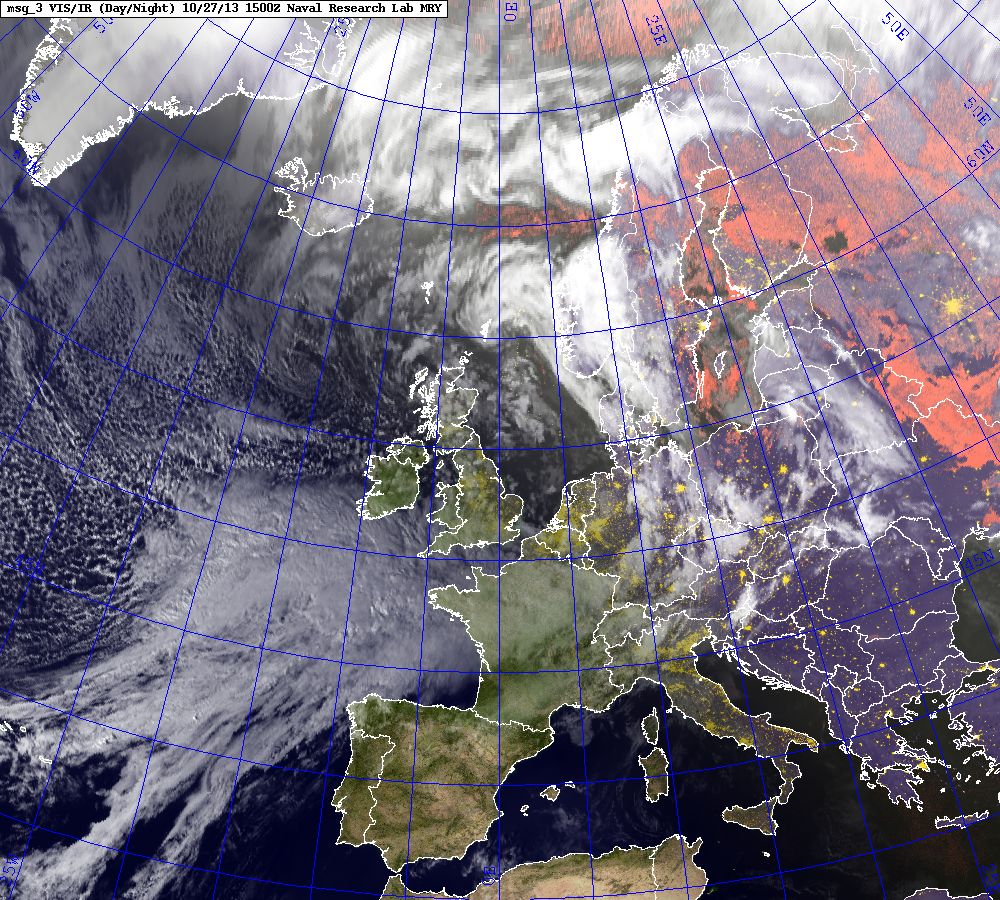
This is from the Meteosat which has enough channels on its SEVERI sensor to produce a semi-colour image. This will not be possible here in the U.S. until GOES R is launched.
There are some signs that the low may not reach quite the intensity earlier, but I would not count on that. It may indeed may be one of the strongest storms in quite sometime in Britain.
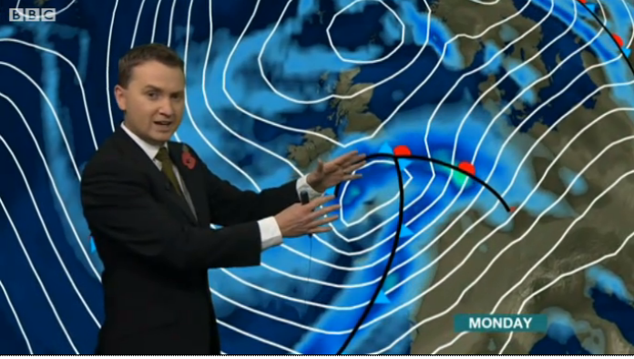
Matt Taylor’s weather broadcast on the BBC is below:
Click image to see it.
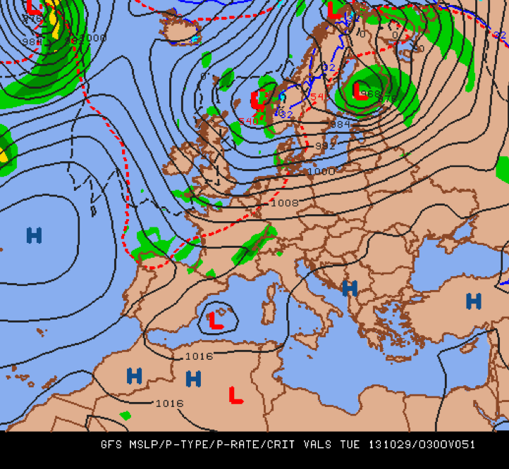
Below is the GFS Model for 3 AM Tuesday morning. The height of the storm will likely be Monday night.
It’s not likely (but still possible) that this storm will rival the great windstorm of 1987. In that storm, BBC Weather-caster Michael Fish famously downplayed the intensity, and it turned out to be the worst in 5 centuries! Fish used the Met Office forecast, and without doubt the Met Office DID underplay the storm,but computer weather models were not nearly as sophisticated then compared to now. I’ve talked with Michael Fish about that forecast, and he realizes that this kind of thing is a hazard of the job. I’ve been through it, but thankfully it wasn’t that bad.
He takes it in stride, as he should!
 Dan Satterfield has worked as an on air meteorologist for 32 years in Oklahoma, Florida and Alabama. Forecasting weather is Dan's job, but all of Earth Science is his passion. This journal is where Dan writes about things he has too little time for on air. Dan blogs about peer-reviewed Earth science for Junior High level audiences and up.