15 June 2013
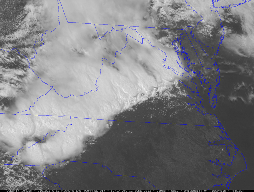
Amazing One Minute GOES 14 Images of Severe Storms Crossing Mid Atlantic Thursday
Posted by Dan Satterfield
When the new GOES R satellite is launched in two years (unless budget cuts intervene), we will have high resolution one minute images available in real time during events like this. The GOES-R will have the capability to do one minute images over two spots at the same time. Not just in visible wavelengths, but in many different channels in the infrared as well, and in higher resolution.
Satellite data will become near real time, like radar is now during severe weather events.
See this:


 Dan Satterfield has worked as an on air meteorologist for 32 years in Oklahoma, Florida and Alabama. Forecasting weather is Dan's job, but all of Earth Science is his passion. This journal is where Dan writes about things he has too little time for on air. Dan blogs about peer-reviewed Earth science for Junior High level audiences and up.
The video was awesome at least, I actually thought I was watching some kind of movie trailer 🙂