
5 May 2014
Photoshop as a means of reconstructing fault offset
Posted by Callan Bentley
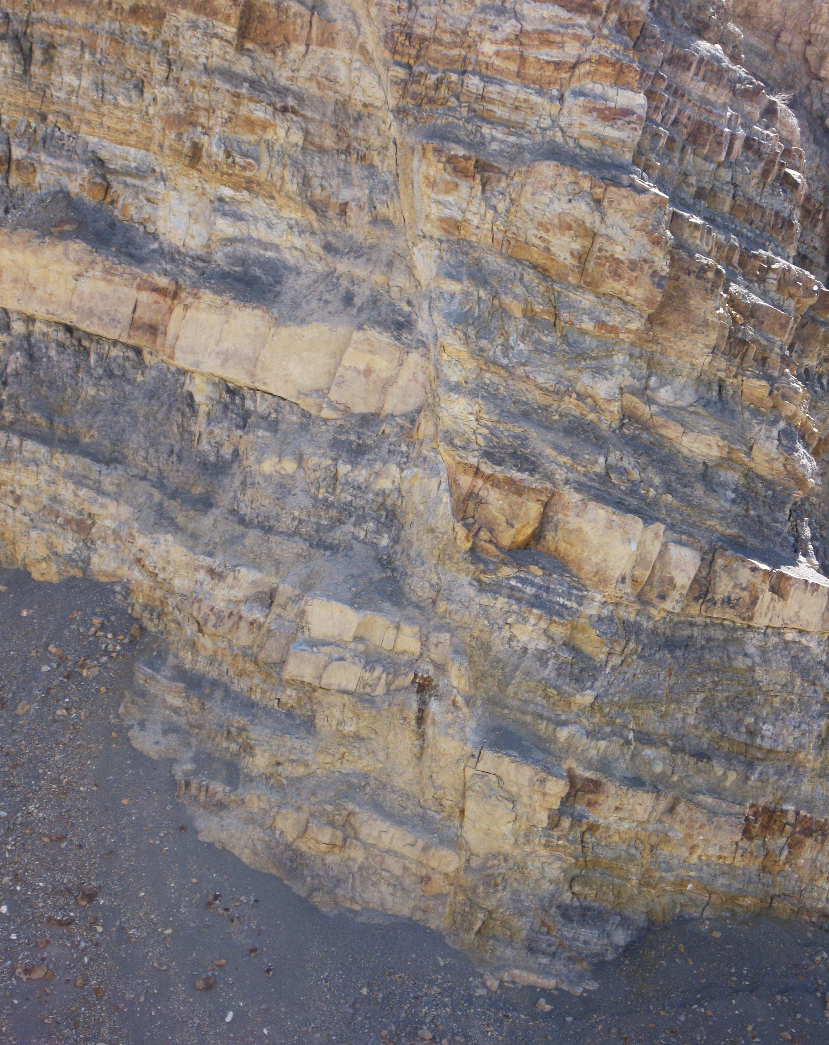
I saw this fault in Texas, north of the laccolith known as Cristo Rey:
 Click to enlarge
I had a hard time making sense of the offset in my head, though, since the layers were of inconsistent thickness. Several people tried to convince me that the offset was “normal” (that is, right side down), but it still didn’t “click” for me in the field. So I took a photo.
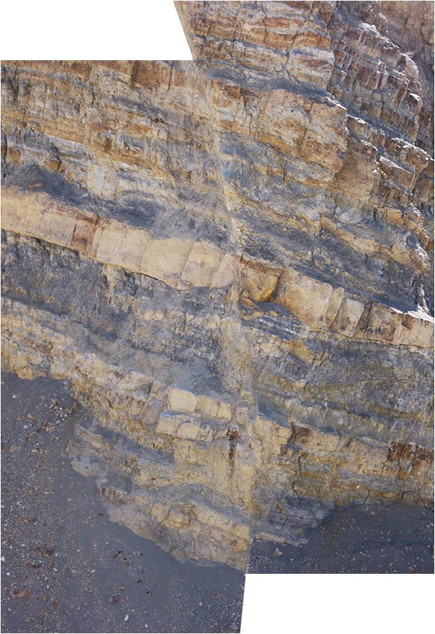
Back at home, I cut my photo in half using Photoshop, and then moved the hanging wall relative to the foot wall, and stopped when I found a match.
…Sure enough, my interlocuters were right. The right side (hanging wall) had indeed moved down relative to the left side (foot wall).
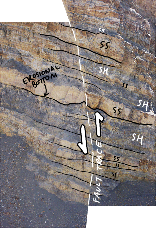
Arrows show “reconstruction faulting” in Photoshop, which is the opposite of actual (apparent) offset.
The real faulting may be associated with the Rio Grande Rift, the more localized flavor of Basin & Range extension around those parts.
 Callan Bentley is Associate Professor of Geology at Piedmont Virginia Community College in Charlottesville, Virginia. He is a Fellow of the Geological Society of America. For his work on this blog, the National Association of Geoscience Teachers recognized him with the James Shea Award. He has also won the Outstanding Faculty Award from the State Council on Higher Education in Virginia, and the Biggs Award for Excellence in Geoscience Teaching from the Geoscience Education Division of the Geological Society of America. In previous years, Callan served as a contributing editor at EARTH magazine, President of the Geological Society of Washington and President the Geo2YC division of NAGT.
Very interesting and empirical images.
I too had trouble seeing it at first. And after thinking about it, I think I know why, but not sure how to explain that in text. I was thinking that this would be an interesting field activity for students, especially if you could do the photoshop reconstruction in the field on mobile devices. Anyone know of a photo editing app that could do this? Most mobile photo editing apps are all about contrast and color and red-eye.
Very cool I’ll be showing this to my geology classes. You’re right, the sense of motion wasn’t that hard but the throw was tricky.