5 February 2013
After the flood
Posted by Callan Bentley
After Passage Creek receded following last week’s flood, I went down to the bridge and the floodplain to have a look around. Here’s a little bit of what I saw…
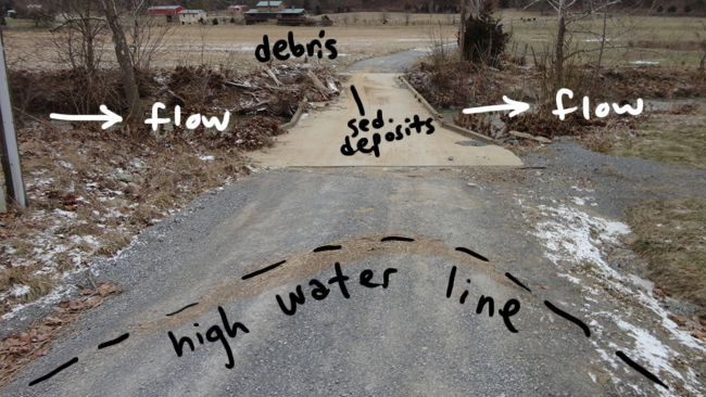
Let’s start at the bridge itself. The view is to the west, and Passage Creek flows north:
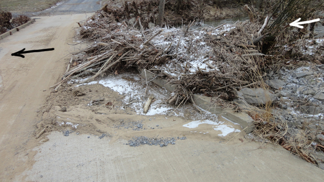
On the other side of the bridge, looking back in the opposite direction (that is, to the east), you can get a better sense of the debris piled upstream of the bridge, and sedimentary deposits on the bridge itself:
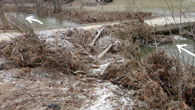
From the same (west) side of the bridge, looking downstream at the big debris clot:
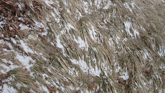
Grass lineations show flood flow direction:
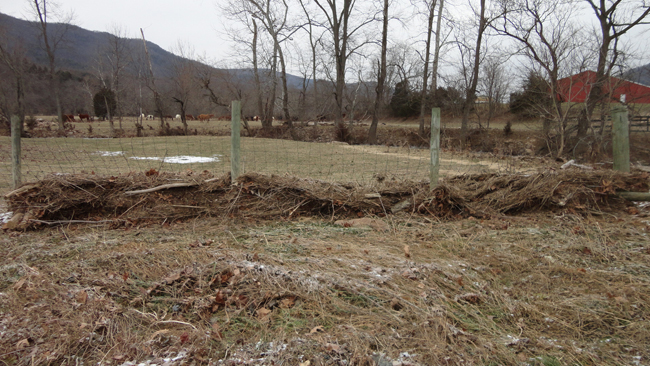
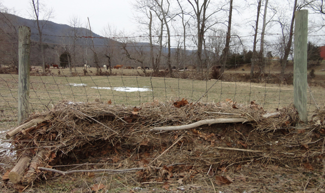
A fence in the floodplain, orthogonal to stream flow, acted as a strainer:
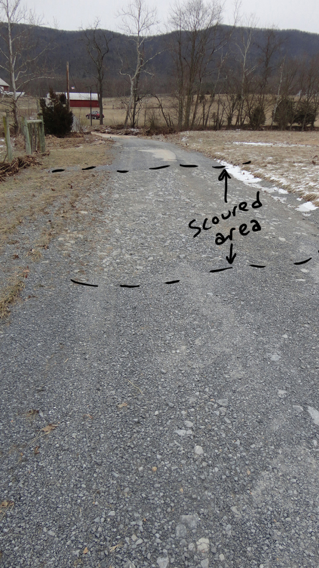
Looking east, back toward the bridge, you can see that sections of the road have been scoured of their gravel:
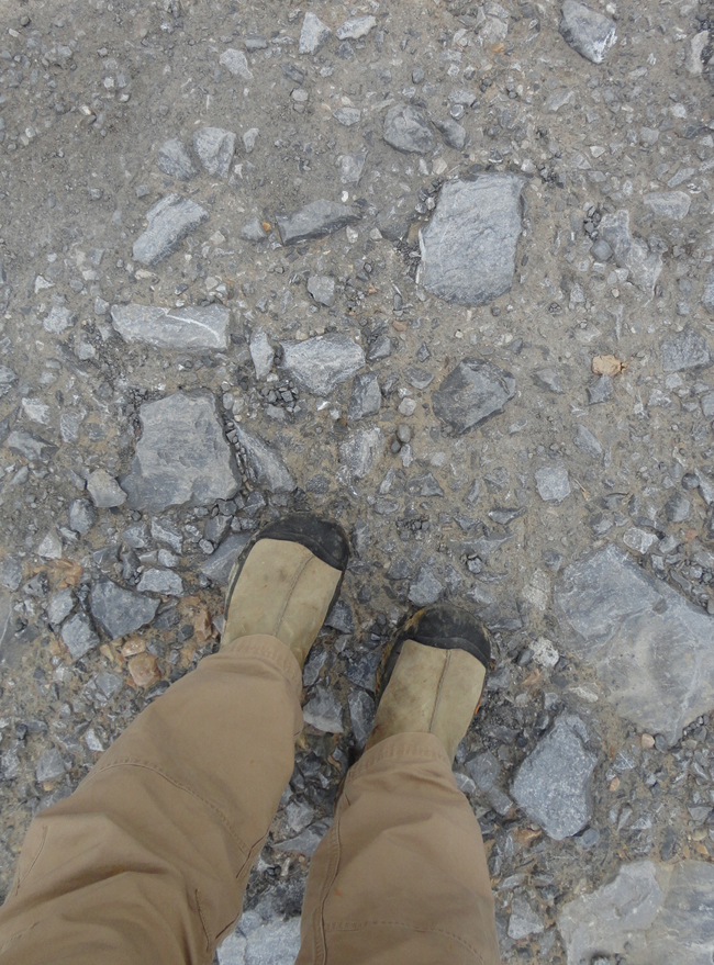
Here’s a comparison of sediment size in the scoured and unscoured portions of the road, with my Keen moon boots for scale:
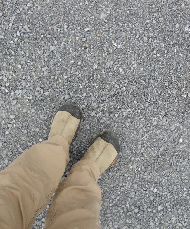
So where did all that gravel go?
Downstream, of course…
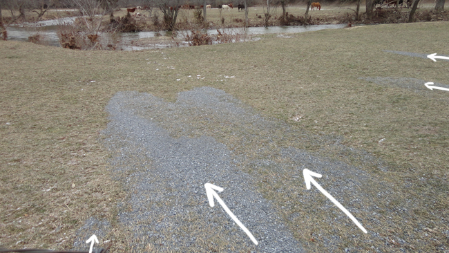
Big “tongues” of gravel could be observed extended under the fence and across the floodplain fields, downstream of the road.
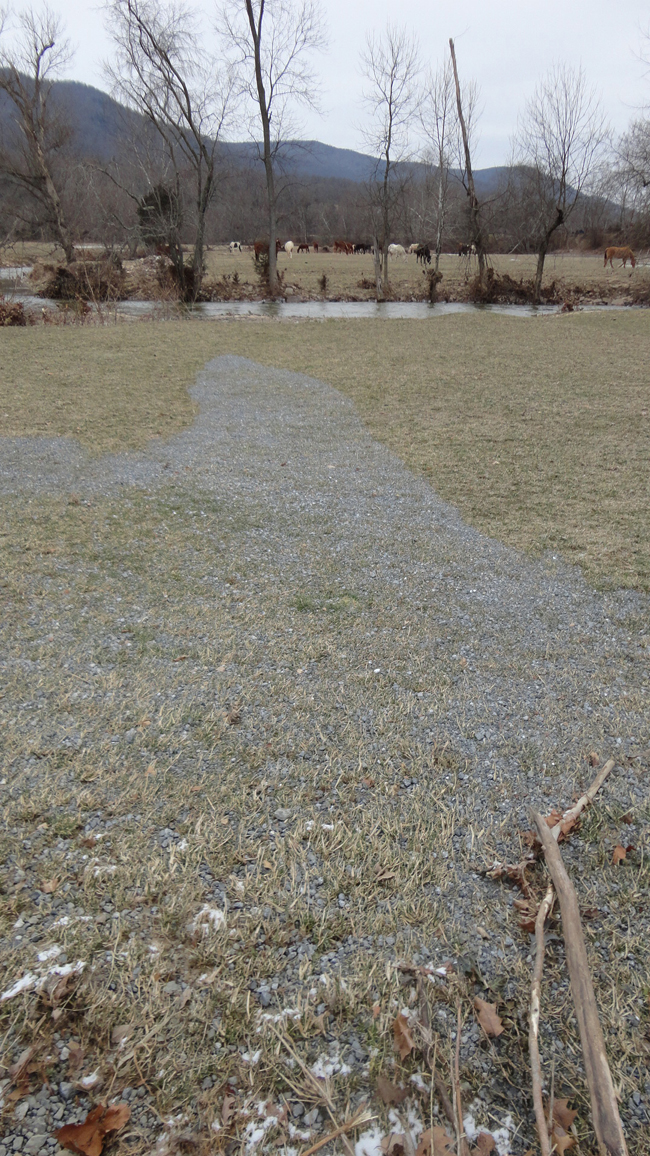
It’s interesting to me that these deposits (which formed by bedload movement of the gravel) are only a few meters long. Really, for such an impressive flood, that’s not very far for bedload to move. But I guess it’s the floodplain, rather than the stream channel itself.
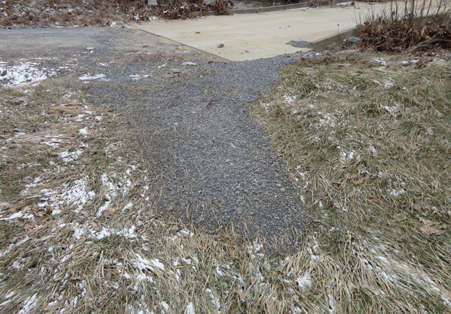
Here’s another one, just east of the bridge:
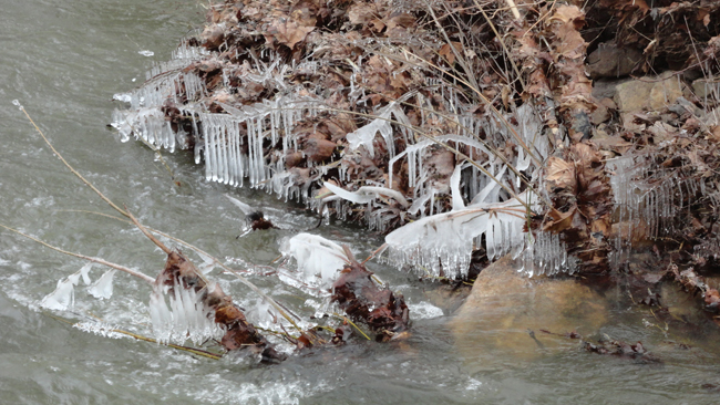
Finally, there was some pretty ice to be seen down there:


 Callan Bentley is Associate Professor of Geology at Piedmont Virginia Community College in Charlottesville, Virginia. He is a Fellow of the Geological Society of America. For his work on this blog, the National Association of Geoscience Teachers recognized him with the James Shea Award. He has also won the Outstanding Faculty Award from the State Council on Higher Education in Virginia, and the Biggs Award for Excellence in Geoscience Teaching from the Geoscience Education Division of the Geological Society of America. In previous years, Callan served as a contributing editor at EARTH magazine, President of the Geological Society of Washington and President the Geo2YC division of NAGT.