4 July 2012
Plane views: Powder River Basin and Black Hills
Posted by Callan Bentley
Happy fourth of July! Here’s two scenes that are emblematic of America, as seen from my airplane window last March flying from Reno to Minneapolis.
Here’s the scene in the central Powder River Basin of eastern Wyoming:
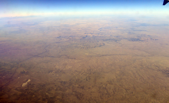
If you zoom in, you’ll see what caught my eye – regular rectangular excavations into the surface. These are strip mining operations for coal laid down in the Paleogene period of geologic time. The coal is sub-bituminous in grade, but it is copious in quantity and low in sulfur, so it is economically viable to mine. This is approximately the location of the Black Thunder Mine, one of the largest coal mines in the world. It alone is responsible for about 8% of U.S. coal production. Much of this coal gets immediately loaded onto a round-the-clock coal train that runs down to Georgia, where it is combusted to provide Atlanta with electricity. This saga is well documented in John McPhee’s 2005 essay “Coal Train” in the New Yorker (Part I, Part II): highly recommended reading that was later included in his book Uncommon Carriers.
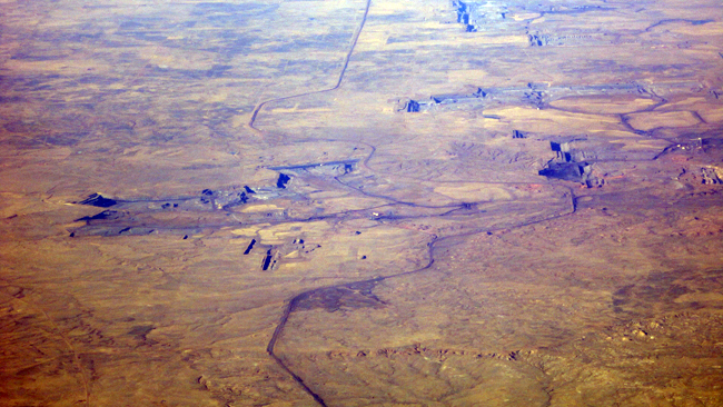
The mines have a geometry that is distinct from the naturally-occurring filigrees of dendritic drainages that otherwise decorate this sere land:
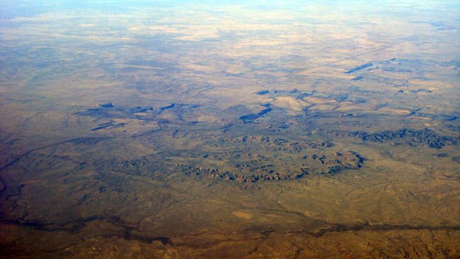
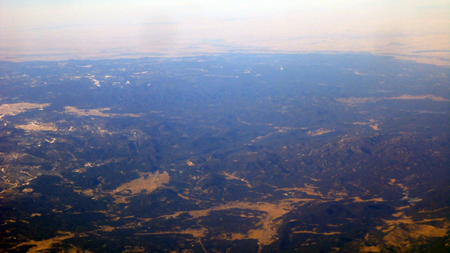
Shortly after spotting the Black Thunder Mine, our plain drifted over one final Laramide uplift, a dark oval on the Plains landscape:
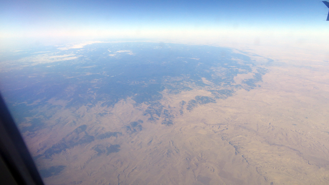
That would be the Black Hills, straddling sidesaddle the Wyoming / South Dakota border. Somewhere down there in the “black” (pine trees) is Mount Rushmore, but I couldn’t find it from the plane.
Big coal and big presidents on the side of a mountain – American reality and American ideals. Food for thought on Independence Day.


 Callan Bentley is Associate Professor of Geology at Piedmont Virginia Community College in Charlottesville, Virginia. He is a Fellow of the Geological Society of America. For his work on this blog, the National Association of Geoscience Teachers recognized him with the James Shea Award. He has also won the Outstanding Faculty Award from the State Council on Higher Education in Virginia, and the Biggs Award for Excellence in Geoscience Teaching from the Geoscience Education Division of the Geological Society of America. In previous years, Callan served as a contributing editor at EARTH magazine, President of the Geological Society of Washington and President the Geo2YC division of NAGT.