
5 February 2011
Capadoccia 5
Posted by Callan Bentley
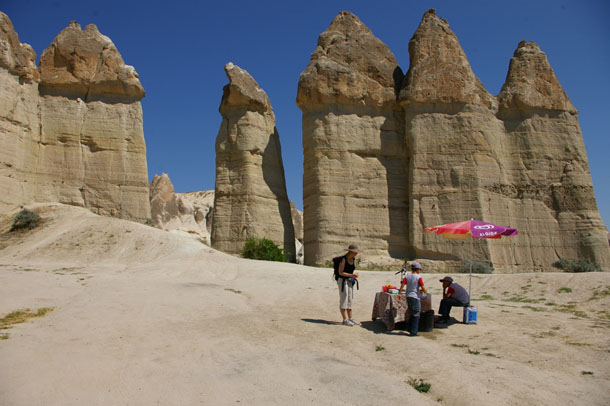
So where did we leave off with the Capadoccia photos? I think we mentioned a hike, right? Here’s Lily buying orange juice from two boys who operated a refreshment stand in the middle of nowhere.
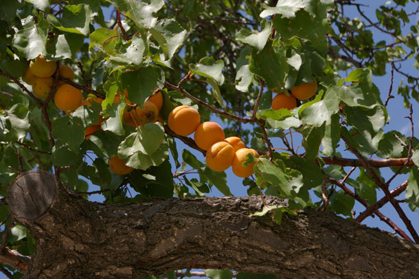
There was a lot of good, fresh fruit in this dry land, a fact which surprised me. Here’s some apricots in a tree:
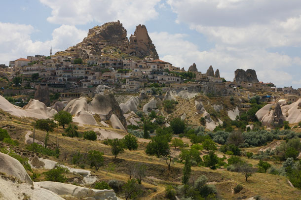
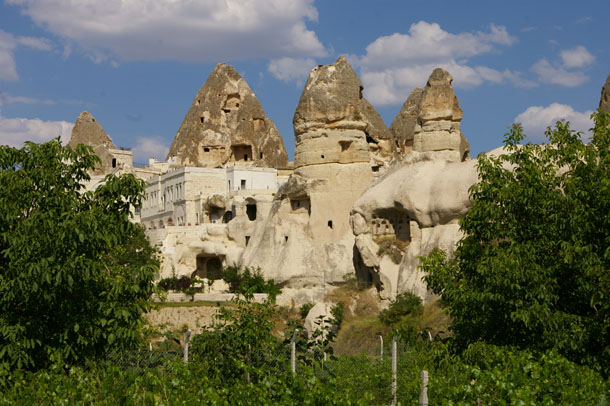
We emerged out of the valley in which we had been hiking and headed for the castle-like high point of Uçhisar:
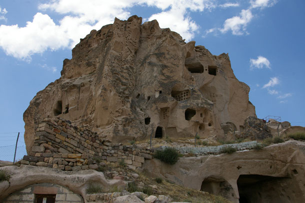
This proud knob of tuff has been thoroughly tunneled into, like a big ant hill.
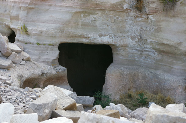
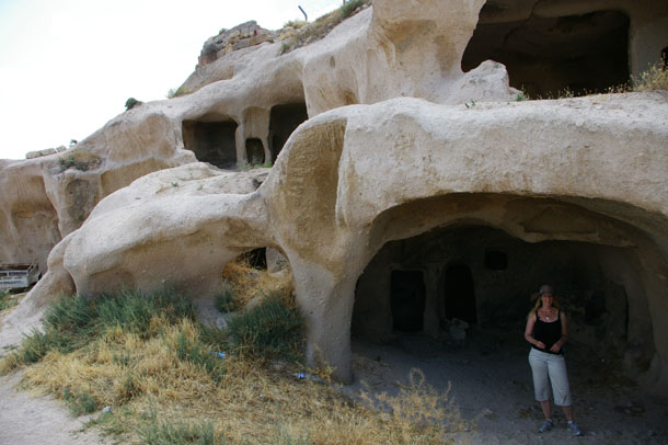
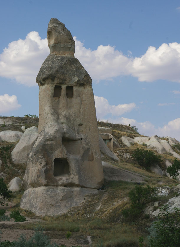
On the way up to check it out, we saw some neat dwellings which conformed to the stratification of the tuff:
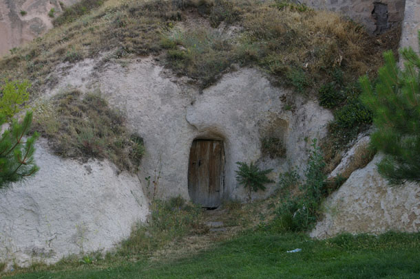
This one reminded me of a Hobbit hole:
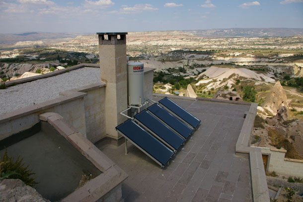
A lot of the houses clustered on the flanks of Uçhisar had solar water heaters on their roofs. While they may be “primitive” in some regards, they also have this commonsense piece of modern technology:
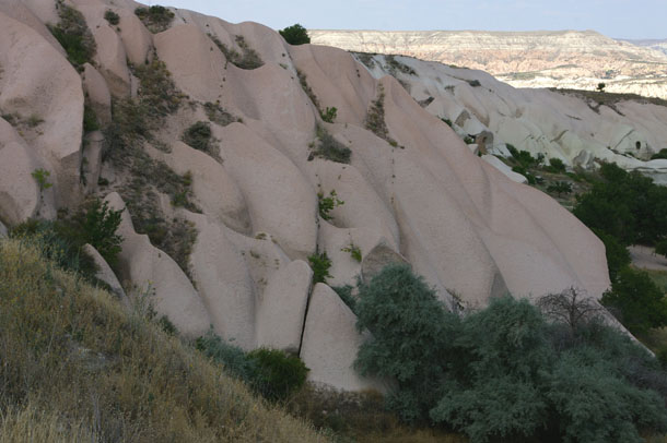
Joints (highlighted by vegetation) cutting across pink tuff:
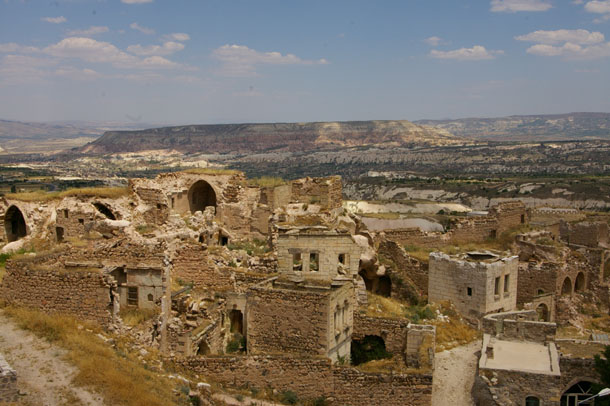
Climbing up higher, we could look down on a part of the Uçhisar town which had apparently been abandoned…
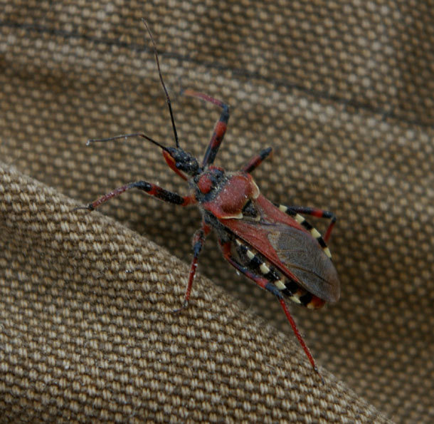
We stopped for coffee, and a bug crawled onto my leg:
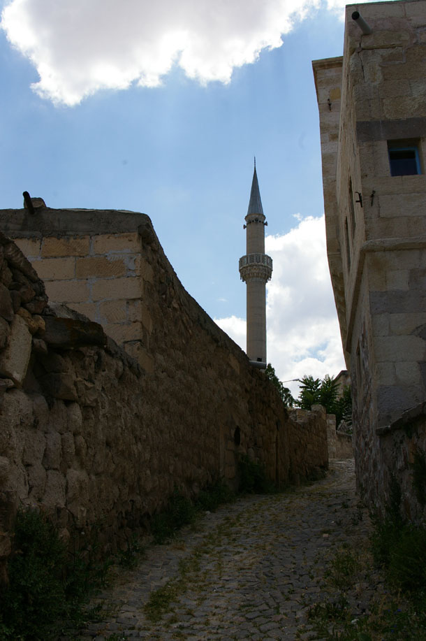
Finally into the warren of buildings and streets surrounding the peak, we headed uphill and uphill. The tower of the mosque served as a landmark:
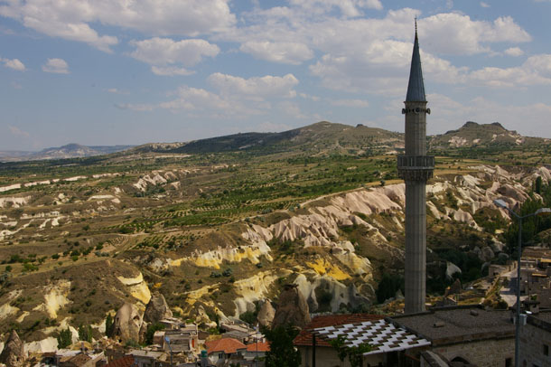
Here’s that same tower from a more elevated vantage point:
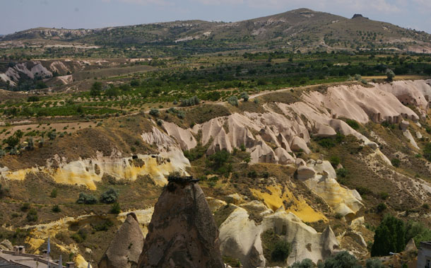
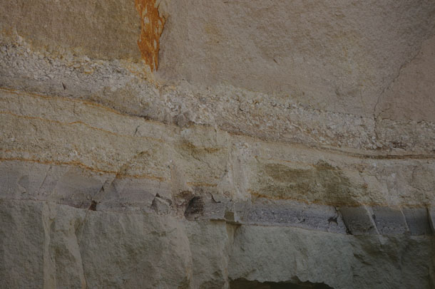
Gorgeous exposures of pink and yellow tuff in the ravine below the town, eh? A closer look:
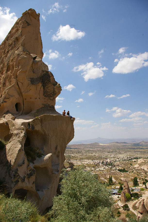
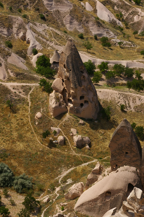
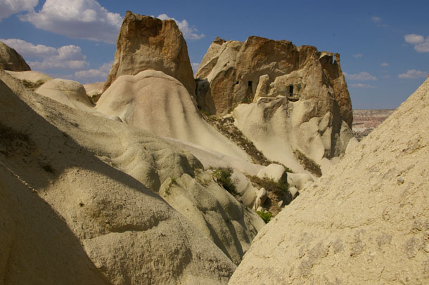
Finally we got up to the formicary-like massif that dominates Uçhisar. It reminded me of the Flintstones:
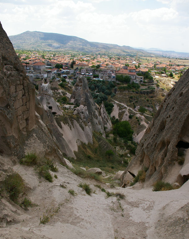
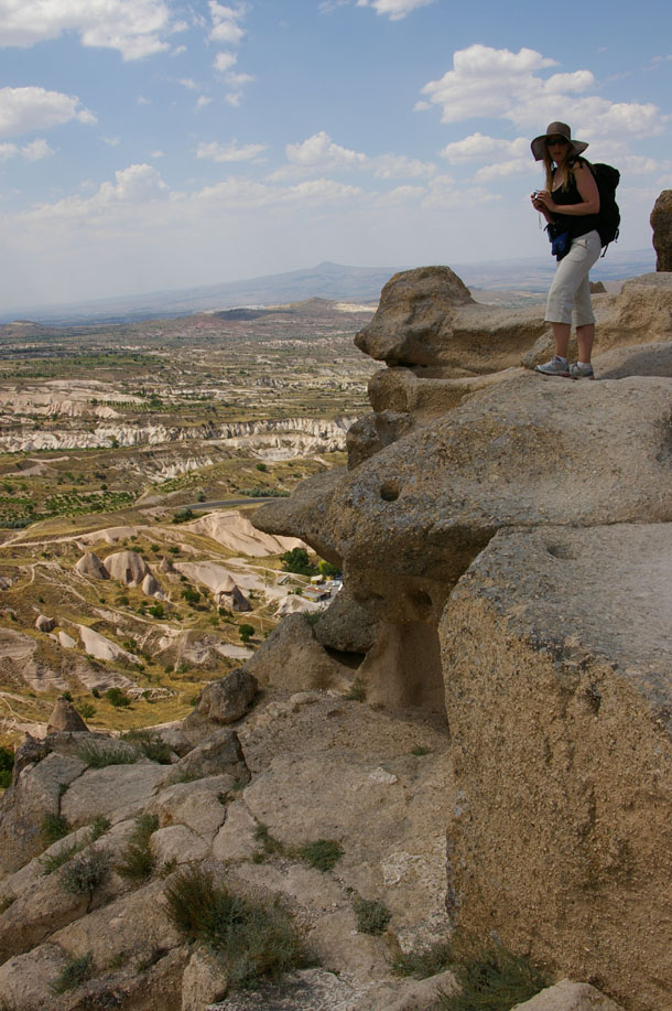
View from the top, looking down a narrow defile:
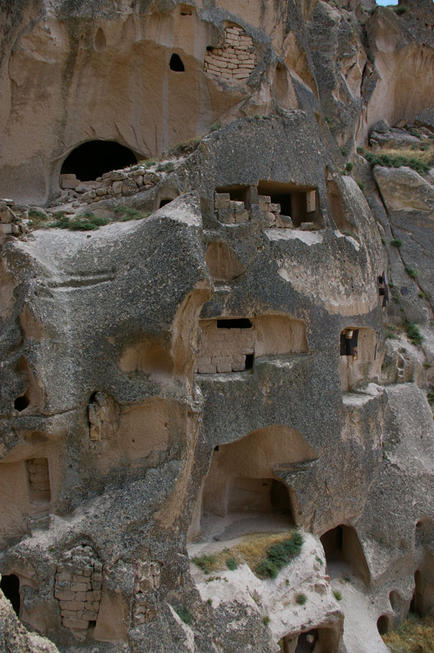
The wall of this narrow valley, showing how intensely anthropologically modified it had become:
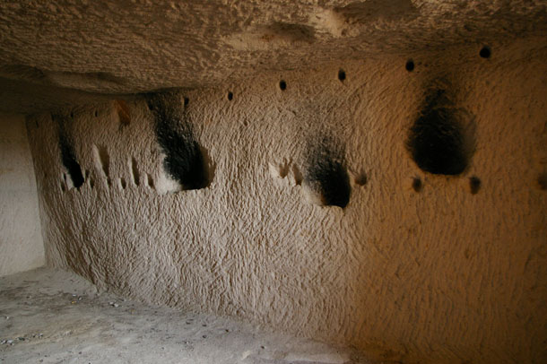
Inside, you could see soot stains from where generations of candles (or other lamps?) had been burned in small alcoves:
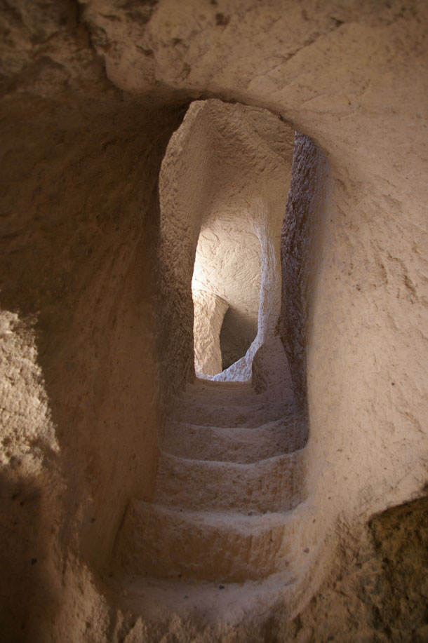
Climbing through this abandoned maze felt very Indiana Jones — archaeology and hidden dark tunnels. Where, for instance, do these stairs go?
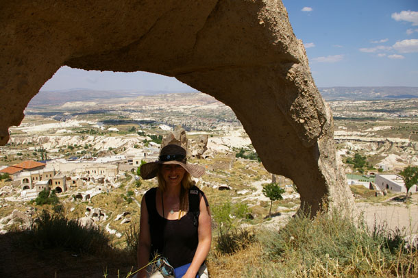
Outside again, and in a position to appreciate our elevated vantage.
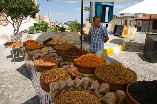
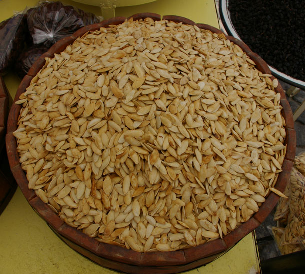
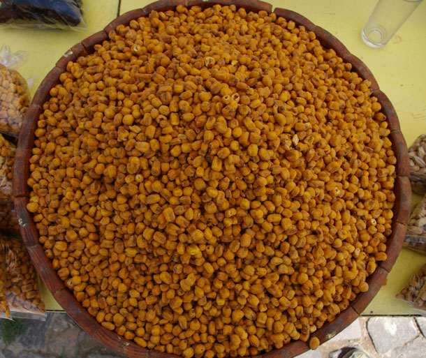
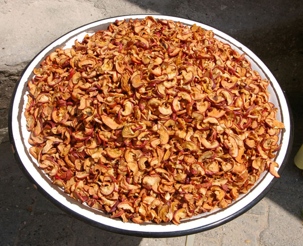
We stopped for some snacks, purchased from this fellow. Would we call him a nutmonger? Or a fruity nutmonger?
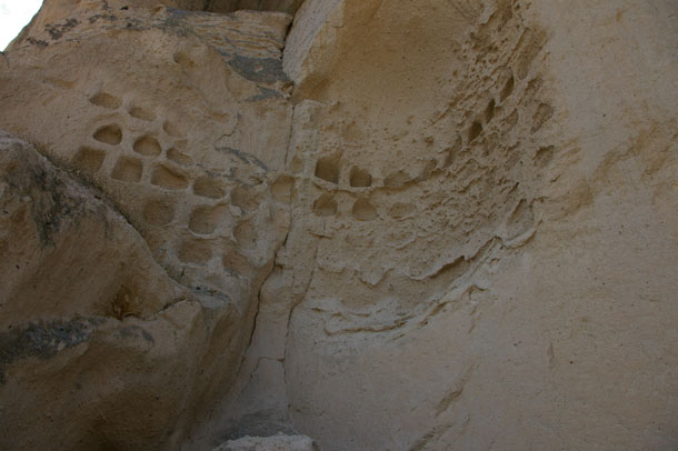
A study in contrasts is next: ancient eroded dove cotes…
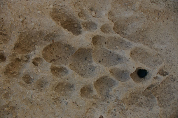
… and adjacent tafoni (lens cap for scale):
We started to return to Göreme by way of the road, but that was nasty after all our time in the quiet valleys and the empty dwellings of Uçhisar “Castle,” so we detoured off the road and found a narrow little ravine that looked as if it would lead us to a bigger valley and back to Göreme:
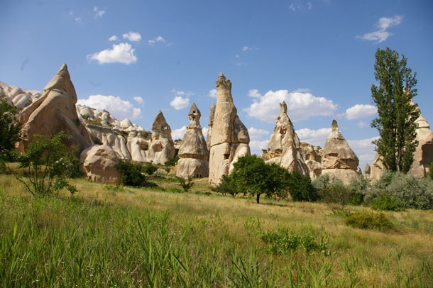
This turned out to be kind of sketchy. We got to a point where we had to jump off a ledge and land in a pile of sediment ~7 feet below. It all worked out okay, but it was a little nerve-wracking. Soon the valley widened, and familiar “fairy towers” told us we were on the right track:
This one reminded me of Jabba the Hutt:
The trail generally followed the stream course (dry) and we had to occasionally scuttle through small tunnels that the stream had cut into the tuff, like this one.
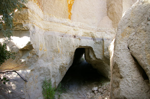
It caught my eye because of the lovely stratification just above the tunnel “ceiling”:
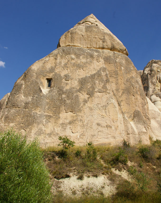
A few more ancient, abandoned once-inhabited hoodoos…
… and we were back in Göreme proper. Can you tell where the town begins?
It’s all a matter of degree. In Capadoccia, nature fades into anthropogenic as gracefully as these towers taper into the sky.
 Callan Bentley is Associate Professor of Geology at Piedmont Virginia Community College in Charlottesville, Virginia. He is a Fellow of the Geological Society of America. For his work on this blog, the National Association of Geoscience Teachers recognized him with the James Shea Award. He has also won the Outstanding Faculty Award from the State Council on Higher Education in Virginia, and the Biggs Award for Excellence in Geoscience Teaching from the Geoscience Education Division of the Geological Society of America. In previous years, Callan served as a contributing editor at EARTH magazine, President of the Geological Society of Washington and President the Geo2YC division of NAGT.
[…] This post was mentioned on Twitter by Chris Rowan, sciseekfeed and Matt Hall, Callan Bentley. Callan Bentley said: A mega-batch of Capadoccia photos for ya http://fwd4.me/vBC […]
That was a GREAT post!!! The pictures are fantastic, and I had always wanted to know more about Capadoccia, ever since seeing my first hoodoos last summer in Utah… I had no idea that some of them are inhabited. So awesoooooooome!
Wow, those ancient dwellings in the rocks look positively otherworldly like you’ve entered an alien civilization.
these pics are surreal, I gotta visit Capadoccia, it looks amazing!
well done!