
22 October 2016
Ísland: Floods
Posted by Jessica Ball
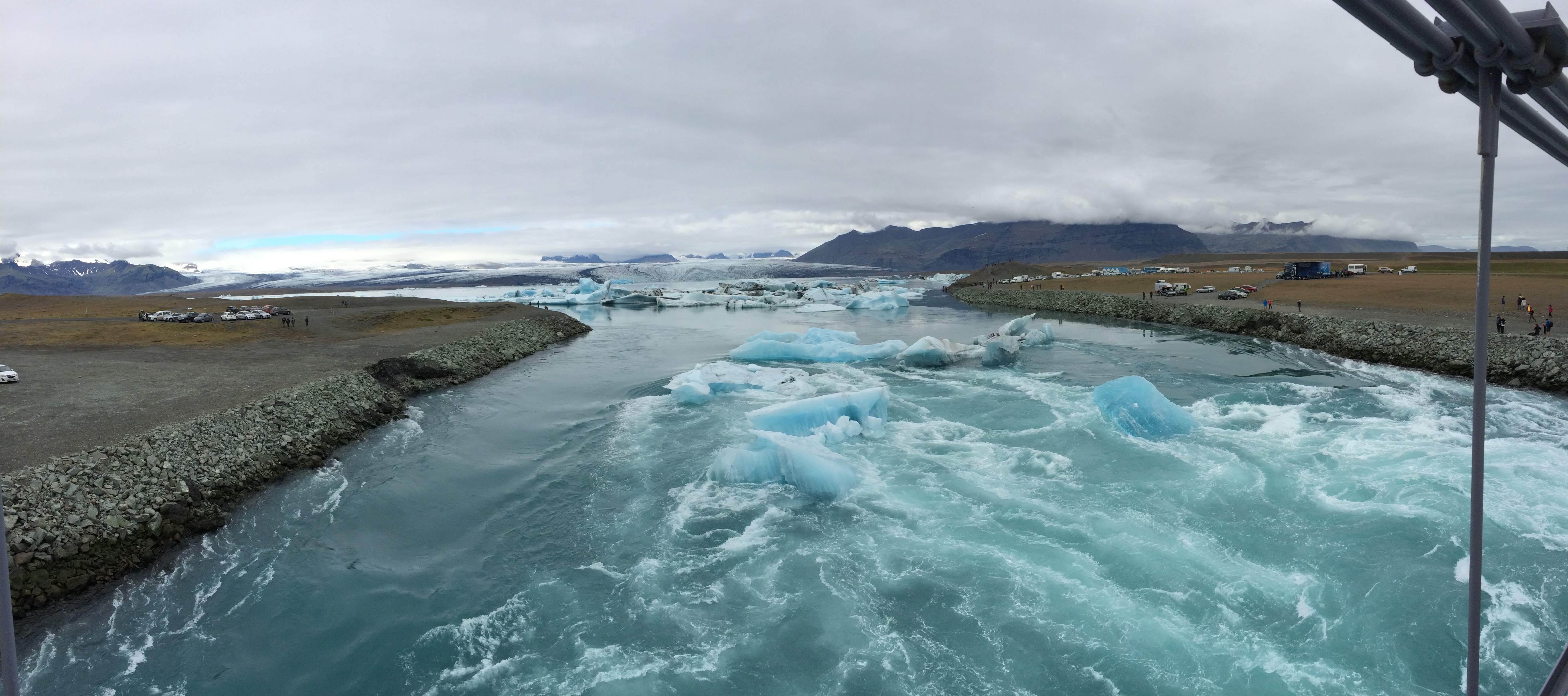
Normal outwash from the Jökulsárlón glacial lagoon
When you bring together volcanoes and ice – as many places in Iceland do – you get floods. Specifically, they’re called jökulhlaups, which literally means “glacier run” but in reality means a glacial outburst flood. Originally the term was used for subglacial outburst floods from Vatnajökull ice cap, which covers the Grímsvötn and Öræfajökull volcanoes, but it’s come to mean any large, abrupt release of water from under a glacier or from a lake at the glacier front.
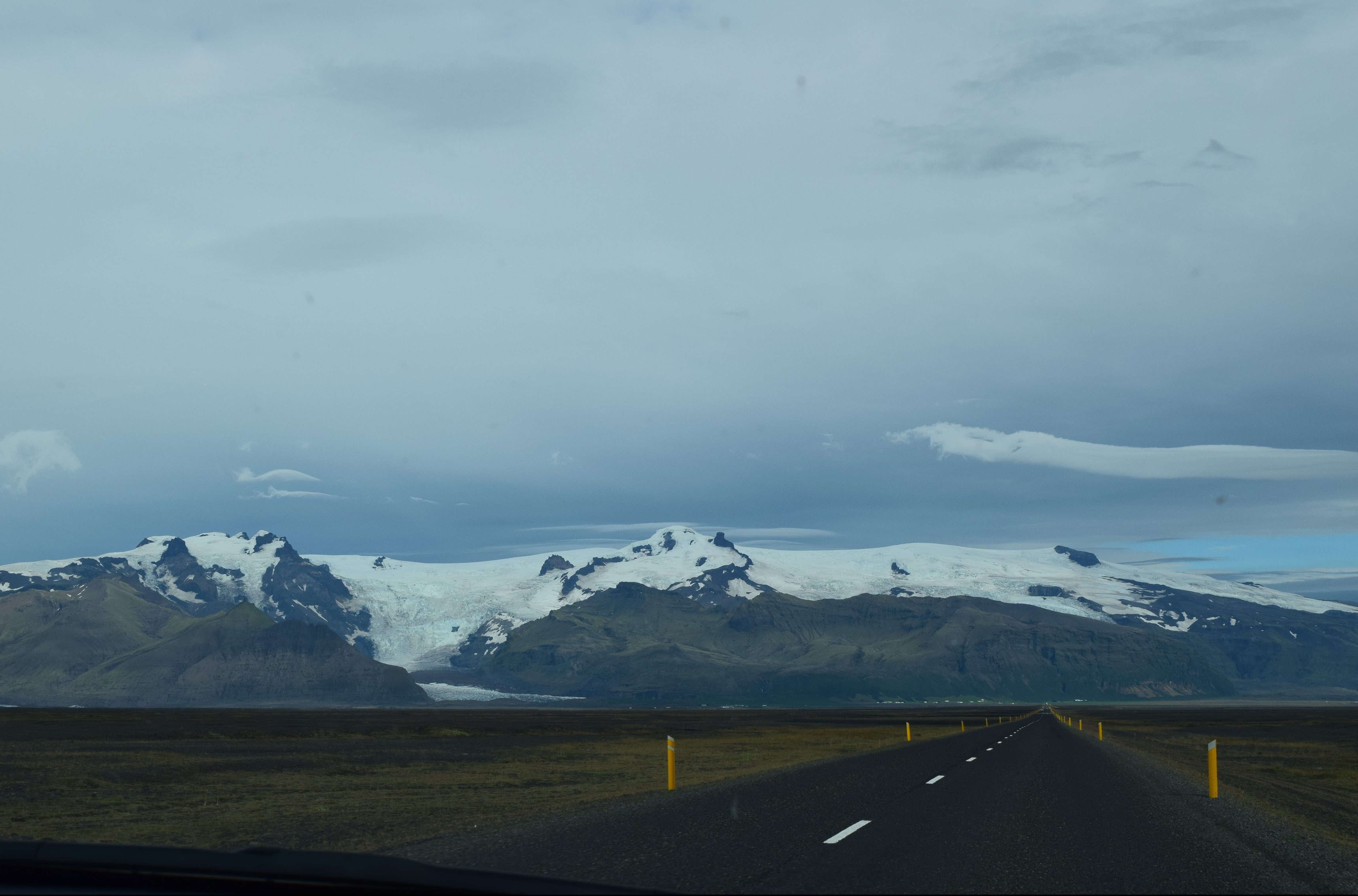
Driving the Ring Road toward Vatnajökull
In Iceland, this sort of thing can happen in a number of places – most of the water on the island comes from glacial melt, which means a lot of rivers draining from glaciers to the sea, and thus plenty of chances for floods. Unfortunately, the Ring Road around the island crosses many of these rivers, and that puts it at risk to be destroyed in a flood.
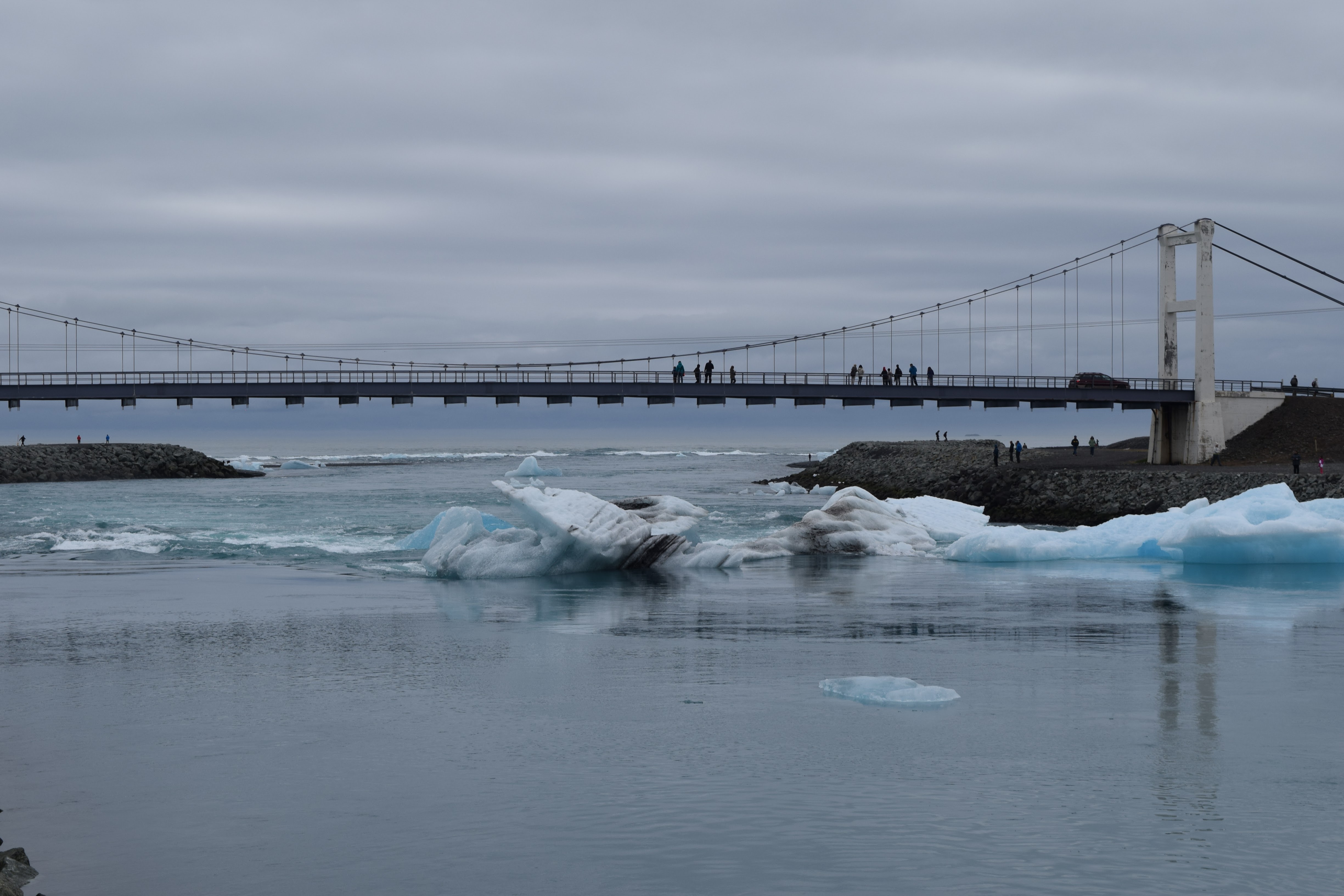
Bridge over Jökulsárlón
This has happened often, and results in Icelandic bridge design being rather different than you might expect. For one thing, most bridges are one-lane roads, which means you have to alternate traffic across them. This is totally fine when you can see the oncoming traffic, but in a few places the bridges are at the tops of rises or raised roadbeds and it’s impossible to see who’s heading in the opposite direction. This occasionally results in some terrifying moments and bouts of speeding to avoid accidents on the bridges that don’t have periodic passing ‘bump-outs’.

Twisted metal from the 1996 Skeiðará flood
The power of these floods is amazing. Heading east, before you reach the Skaftafell glacier, there’s a pull-off where a fragment of a bridge is preserved as a museum piece. This massive, twisted hunk of metal was once part of the Gigjukvisl Bridge. In 1996, Grímsvötn erupted and melted three cubic kilometers of the ice cap, resulting in a flood on the Skeiðará River that reached levels of four meters above the normal river level and had a peak flow of 50,000 cubic meters per second. This was strong enough not only to carry large hunks of glacier and wash away the bridge, but actually bend the steel bridge supports – and those aren’t small beams, either. (The rock pile in the foreground is slightly shorter than me!)
That is pretty darn scary stuff. And because the Ring Road is the main highway circling the island, once it’s gone, you’re stuck going around in the opposite direction – easily adding a couple of days to a commute. And jökulhlaups don’t just happen in this one place; five of Iceland’s volcanoes are known to produce them, including Eyjafjallajökull in 2010. Just a few weeks ago, rising levels in the Skaftá River (along with hydrogen sulfide in the floodwater) might have signaled a small jökulhlaup from Grímsvötn. And recent seismic swarms at Katla, a volcano under the Myrdalsjökull ice cap, has the Iceland Met Office monitoring closely for evidence that subglacial eruptions might be going on.
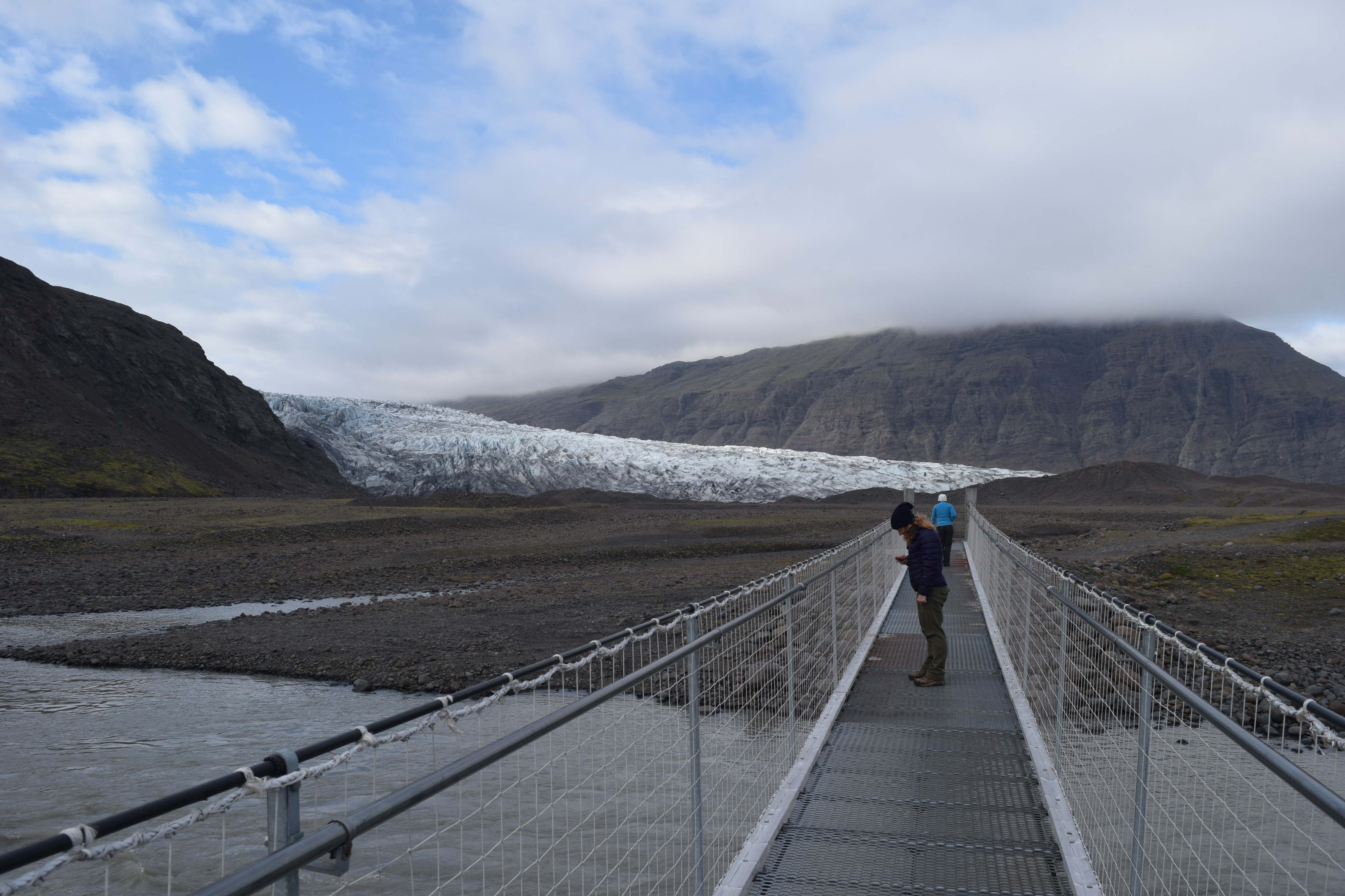
Checking out a bridge over the proglacial river at Fláajökull
So, it’s useful to be aware of what the volcanoes around you are doing when you visit Iceland – just because you’re not within range of ash or other eruptive products doesn’t mean you can’t still be affected by an eruption. As volcanologists we were slightly disappointed that nothing happened while we were visiting, but as tourists we appreciated being able to visit the glaciers and drive the Ring Road without having to worry about bridges washing out.

A calm river…for now.
 Jessica Ball is a volcanologist at the U.S. Geological Survey, researching volcanic hydrothermal systems and stability, and doing science communication for the California Volcano Observatory. She previously worked at the Geological Society of America's Washington DC Policy Office, learning about the intersection of Earth science and legislative affairs. Her Mendenhall postdoc and PhD focused on how water affects the stability of volcanoes, and involved both field investigations and numerical modeling applications. Her blogging covers a range of topics, from her experiences in academic geosciences to science outreach and communication to her field and lab work in volcanology.