17 December 2012
Benchmarking Time: Hyde Pier, San Francisco
Posted by Jessica Ball
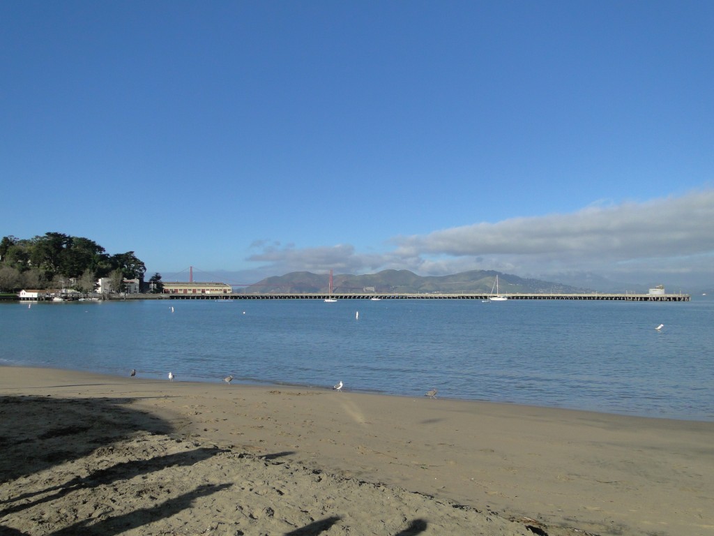
This week’s benchmark is an interesting one that I happened across during AGU’s Fall Meeting in San Francisco. The Fisherman’s Wharf area along the Bay is one of my favorite spots, and I usually take a little time to go walking down there.
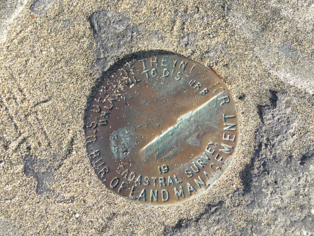
This time around, I was taking in the little beach near the Maritime Museum when I saw this benchmark:
It looks a bit like a USGS one (minus most of its information – apparently this one had to deal with an impact or two in its lifetime). But what caught my eye was the “cadastral survey” part. Cadastral?
It turns out that this is a Bureau of Land Management program. Here’s the description from their website:
Cadastral surveys deal with one of the oldest and most fundamental facets of human society-ownership of land. They are the surveys that create, mark, define, retrace, or reestablish the boundaries and subdivisions of the public lands of the United States. They are not like scientific surveys of an informative character, which may be amended due to the availability of additional information or because of changes in conditions or standards of accuracy. Although cadastral surveys employ scientific methods and precise measurements, they are based upon law and not upon science. Cadastral surveys are the foundation upon which rest title to all land that is now, or was once, part of the Public Domain of the United States.
This is not the best of definitions, so I ventured into the jungle of Wikipedia to seek some clarification. Here’s what the “Cadastre” article has to say:
A cadastre (also spelled cadaster), using a cadastral survey[1] or cadastral map, is a comprehensive register of the metes-and-boundsreal propertyof a country. A cadastre commonly includes details of the ownership, the tenure, the precise location (some include GPS coordinates), the dimensions (and area), the cultivations if rural, and the value of individual parcels of land. Cadastres are used by many nations around the world,[1] some in conjunction with other records, such as a title register.[1]
In most countries, legal systems have developed around the original administrative systems and use the cadastre to define the dimensions and location of land parcels described in legal documentation. The cadastre is a fundamental source of data in disputes and lawsuits between landowners.
In the United States, Cadastral Survey within the Bureau of Land Management maintains records of all public lands. Such surveys often require detailed investigation of the history of land use, legal accounts, and other documents.
…Cadastral surveys document the boundaries of land ownership, by the production of documents, diagrams, sketches, plans (plats in USA), charts, and maps. They were originally used to ensure reliable facts for land valuation and taxation. An example from early England is the Domesday Book.
Aha! So a cadastral survey is a bit like a hard copy of a GIS dataset – in other words, what people did with all that data before they sold their souls to ArcGIS. It’s very hard to make out the details on my survey marker – the only thing I can discern is the year, which is 1986. Searching for information on cadastral surveys in San Francisco doesn’t bring up anything, even associated with the date, so I’ll have to leave it to my readers to see if you can dig up anything else on surveys in this area. Does anyone have any idea if this was for a specific campaign?


 Jessica Ball is a volcanologist at the U.S. Geological Survey, researching volcanic hydrothermal systems and stability, and doing science communication for the California Volcano Observatory. She previously worked at the Geological Society of America's Washington DC Policy Office, learning about the intersection of Earth science and legislative affairs. Her Mendenhall postdoc and PhD focused on how water affects the stability of volcanoes, and involved both field investigations and numerical modeling applications. Her blogging covers a range of topics, from her experiences in academic geosciences to science outreach and communication to her field and lab work in volcanology.
The date is 1985 and the string above and to its left reads “GGRNA,” for Golden Gate National Recreation Area. So that’s a start.