13 May 2012
Sidetracked: Cave of the Winds, Los Alamos
Posted by Jessica Ball
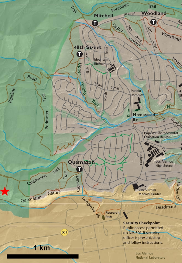
Well, I had planned to work on my Bancroft posts this week, but in all the packing hoopla I realized that I left my field notes in Buffalo, which doesn’t help me much while I’m here in Los Alamos. So you’re just going to have to settle for some photos from the hike I took yesterday along the Quemazon trail to the Cave of the Winds. In case you ever want to take this hike yourself (it’s fun!), here’s the trail:
The whole trail travels over the Bandelier Tuff (I think it’s the Tshirege Member here), towards Los Alamos Canyon. The cave itself, which seems to have been hollowed out of the tuff (UPDATE: it might actually be in a dacite flow that’s supposed to show up in the canyon; I’ll have a look at the geologic map and report back on this) by natural and human activity, is a few dozen meters down from the eastern rim of the Canyon. It’s a relatively short hike, but it gains about 400 feet (120 m) in about 1 km, so it can be steep at times. The trail itself is really beautiful, though. The trip was led by one of the members of the Pajarito Environmental Education Center (PEEC), which sponsors trial hikes of all kinds. This one was mainly about the history of the trails , but PEEC also runs geology hikes.
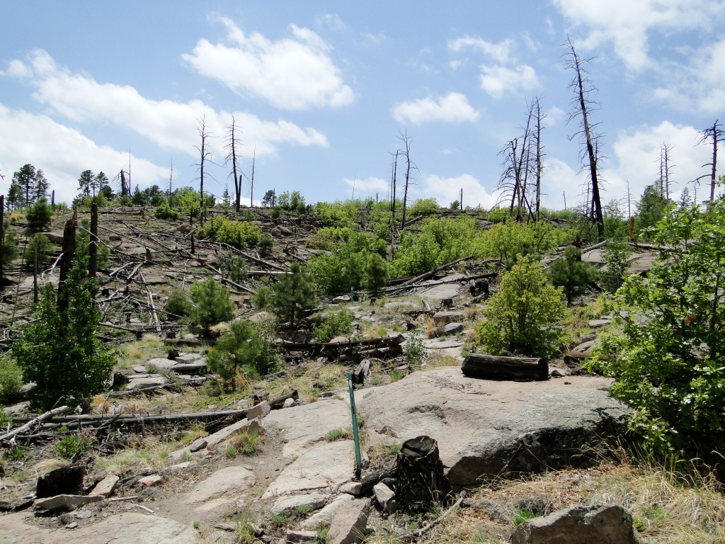
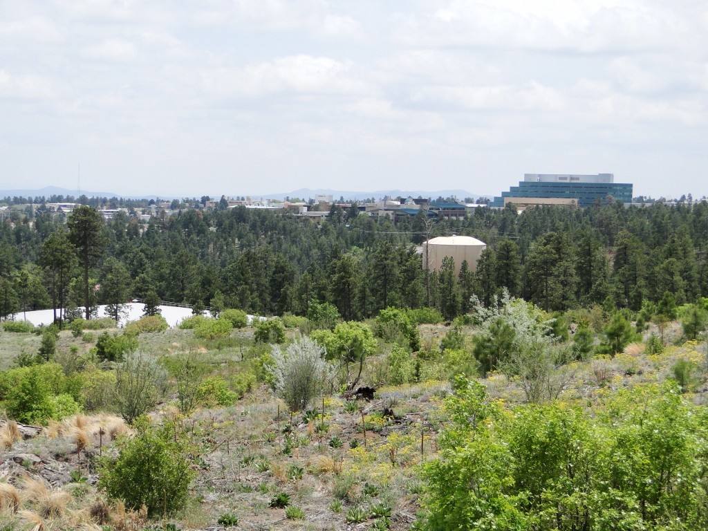
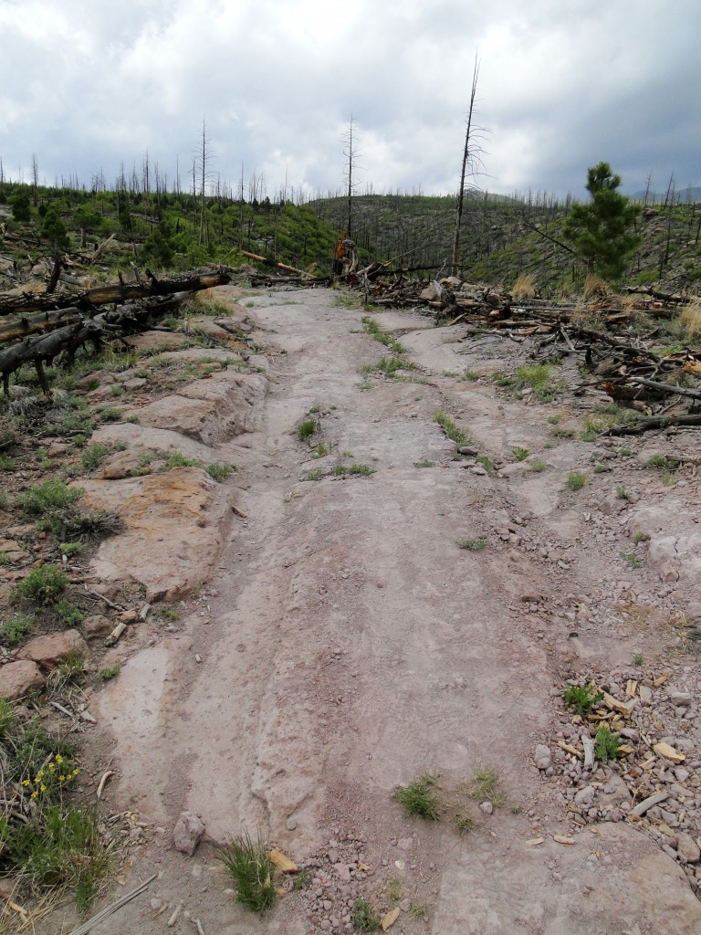
Looking uphill to the west. The landscape here is still recovering from the Cerro Grande fire, which happened more than a decade ago.
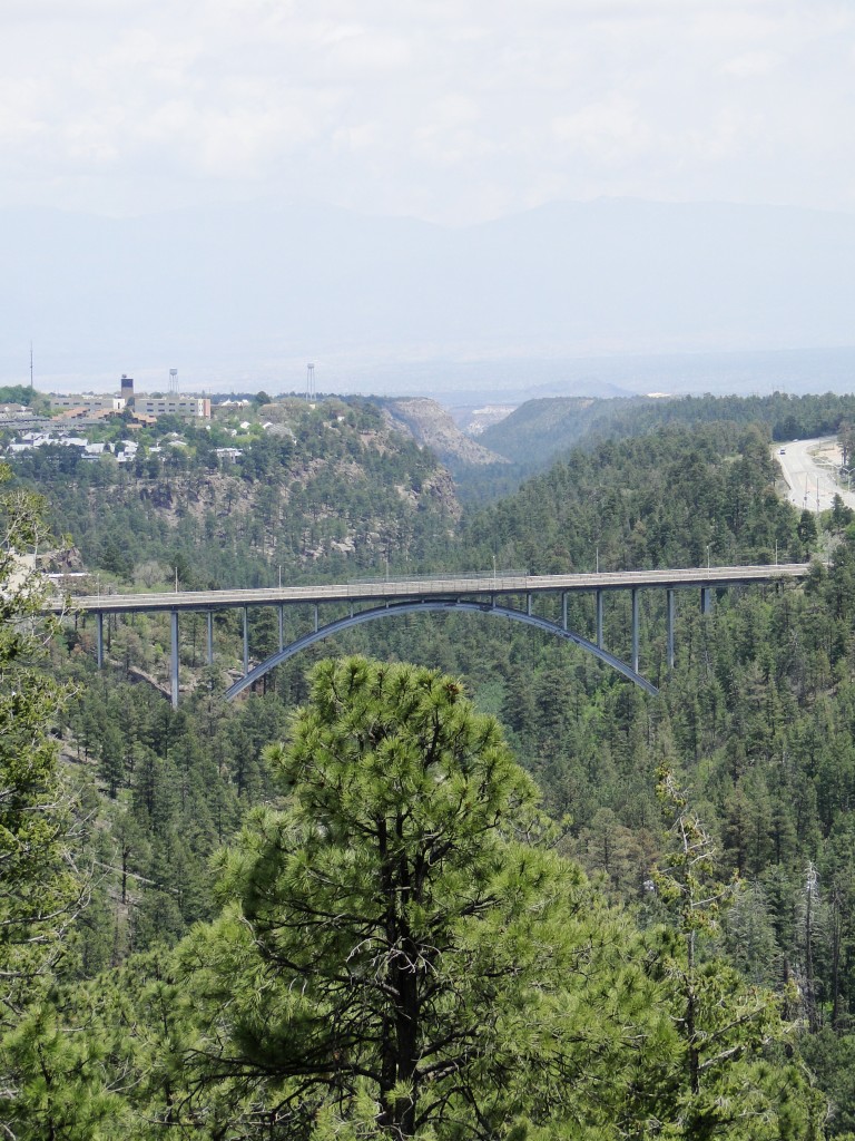
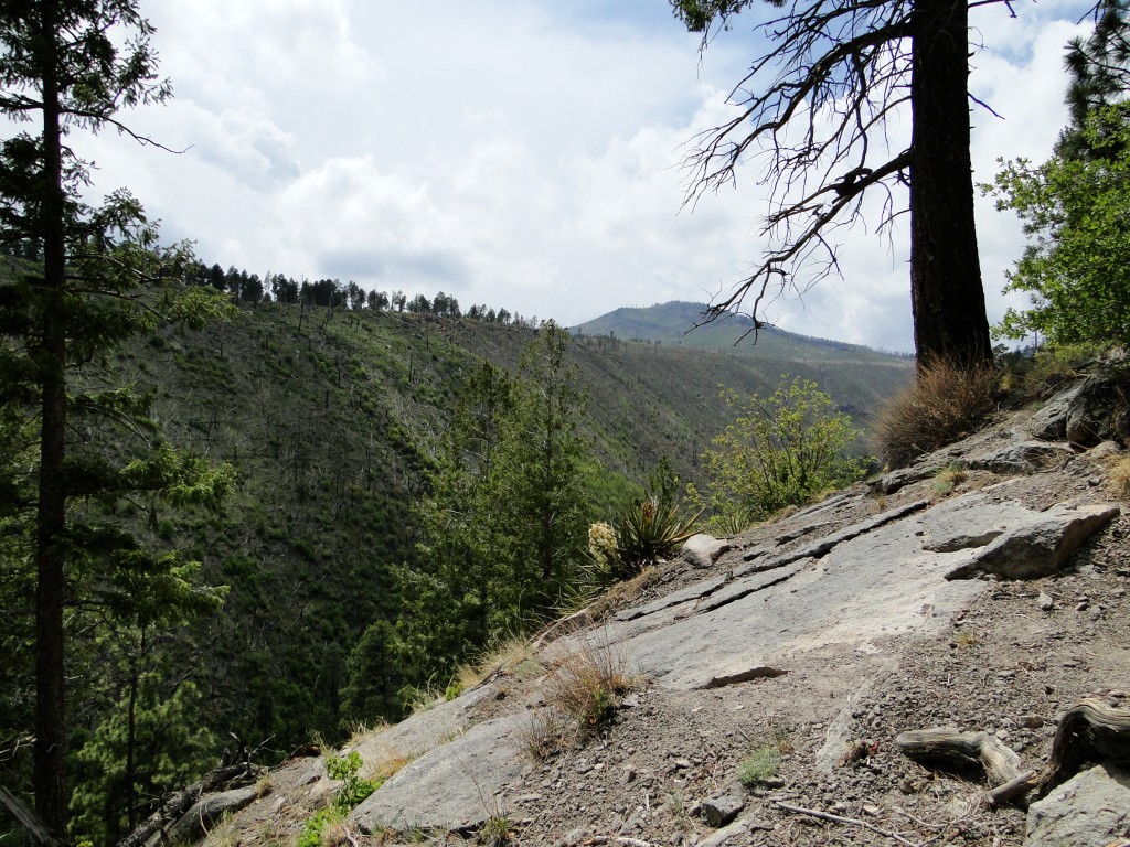
Looking east down the Los Alamos Canyon at the Omega Bridge (which connects the lab to the rest of the town).
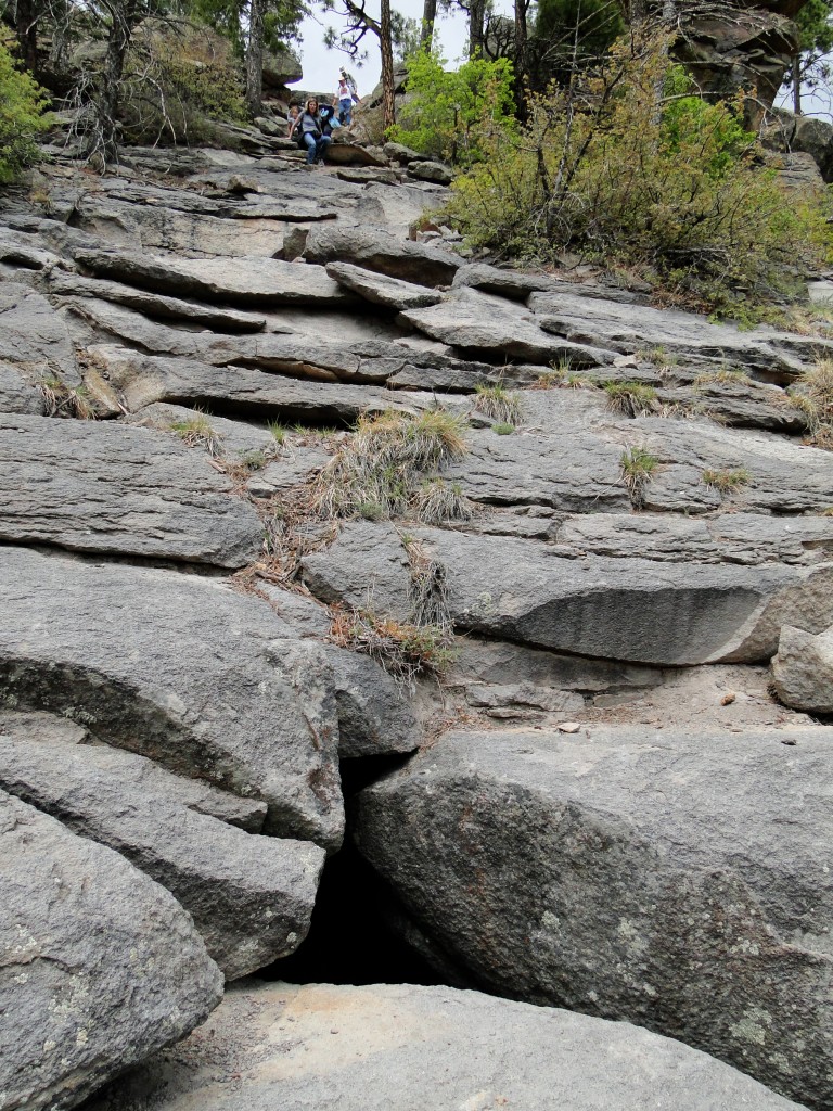
The entrance to the cave. It's a steep climb down, but not too difficult; the tuff gives you lots of handholds.
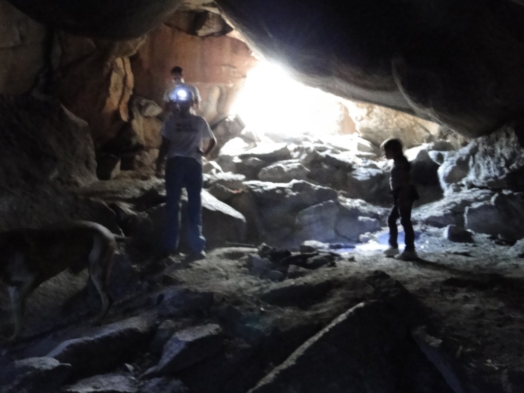
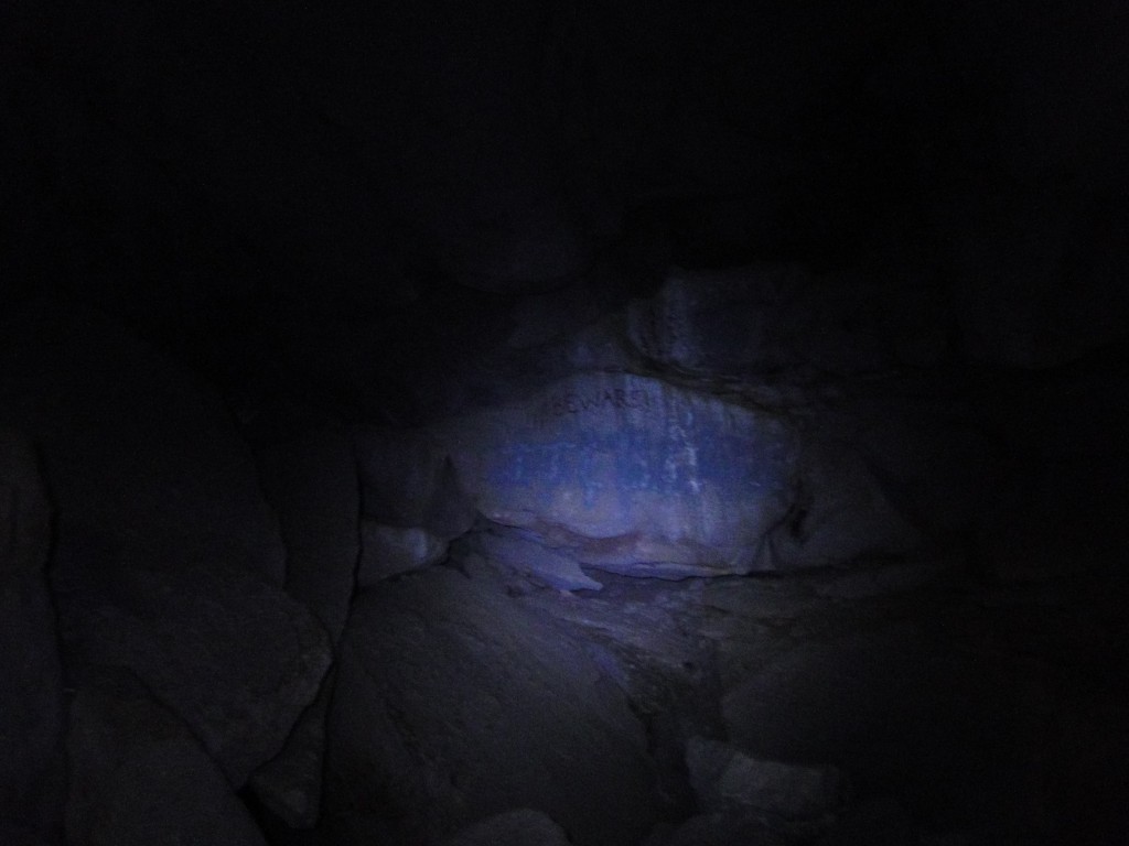
The Cave of the Winds is actually very small – just one chamber that dead-ends a few dozen meters in. There doesn’t seem to have been much evidence of water here (it’s a very dry cave and there are no speleothems), so I’m guessing it’s just a crevice in the tuff that was enlarged a bit by other processes. Our guide mentioned that it was used by the campers at the Los Alamos Ranch School, and undoubtedly homesteaders and people traveling the trails here knew about it before that.
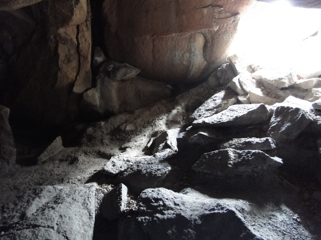
Not really much to see here, but it's evident that there have been cave-ins from time to time. There was quite a bit of rubble to walk over.
Once we hauled ourselves up the side of the canyon again, it was time to get moving before the afternoon rainstorms arrived. (I was quite happy to see the rain, because it meant less of a chance of wildfires. If you read about my visit last summer, you’ll remember that I’m not a fan.)
So, I didn’t quite get to the posts I was planning on, but hopefully I can reconstruct enough of my field notes to make a start of it while I’m out here. Of course, the reason I’m out here is to bury myself in some serious numerical modeling, so blogging will have to be secondary to that. We’ll see!



 Jessica Ball is a volcanologist at the U.S. Geological Survey, researching volcanic hydrothermal systems and stability, and doing science communication for the California Volcano Observatory. She previously worked at the Geological Society of America's Washington DC Policy Office, learning about the intersection of Earth science and legislative affairs. Her Mendenhall postdoc and PhD focused on how water affects the stability of volcanoes, and involved both field investigations and numerical modeling applications. Her blogging covers a range of topics, from her experiences in academic geosciences to science outreach and communication to her field and lab work in volcanology.
Jessica,
Fun to read of your adventures! Cave of the Winds is one of my favorite spots.
I’ve always believed the cave to be in dacite, rather than tuff — the rock seems to be too hard for tuff. But you appear to be a geologist, so maybe I’m wrong and it’s some hard form of tuff.
You know, that question came up with someone else from the area. I checked a geologic map that shows the dacite flow and I don’t think the cave is far enough up the canyon to be in it, but I could be wrong. Tuff can get that hard if it’s welded, but it could also be a matter of me misreading the map.
Back in the 60’s there some beautiful but fragile crystal formations, now long gone. The cave entrance was reputedly closed after a boy stuck himself in the cave and had to be extracted.