
29 March 2022
Mount Talakmau: landslides from the 25 February 2022 Sumatra Earthquake
Posted by Dave Petley
Mount Talakmau: landslides from the 25 February 2022 Sumatra Earthquake
On 25 February 2022 a M=6.1 earthquake struck West Sumatra in Indonesia at a depth of just 4.9 km. The epicentre of the earthquake was about 20 km from the peak of Mount Talakmau, a c.3,000 m elevation compound volcano thought to have been active in the Holocene.
In the aftermath of the earthquake, the ever impressive Sotoris Valkaniotis tweeted imagery of landslides triggered on the flanks of Mount Talakmau:-
And a 3D view of the debris flows & landslides on Mt Talakmau, using Sentinel-2 imagery. View towards south-southwest pic.twitter.com/MURG3Hu0Wj
— Sotiris Valkaniotis (@SotisValkan) March 5, 2022
.
Wow! Subsequently, UNOSAT has published a map of the landslides:-
https://twitter.com/UNOSAT/status/1501530107399352321
.
Their assessment is that the landslide area covered about 6 square kilometres. So, I have taken a look at the Planet imagery of the flanks of Mount Talakmau in the aftermath of the earthquake. The image below was collected on 26 March 2022:-
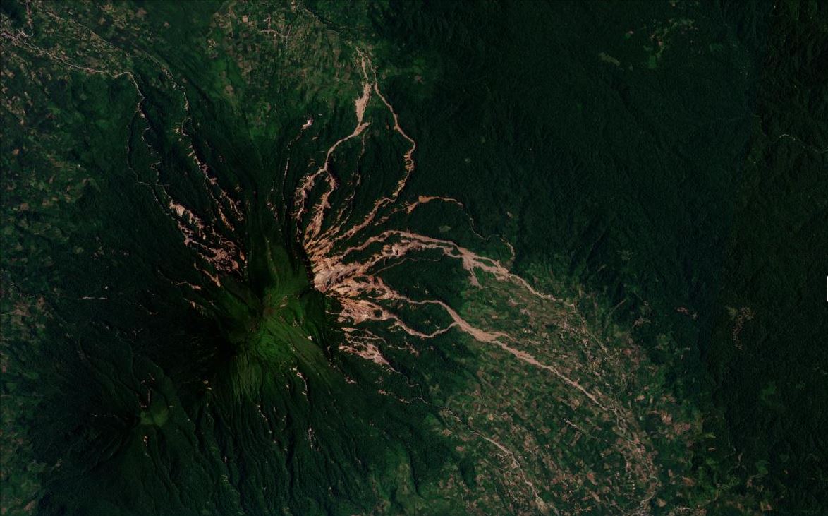
Satellite image of the landslides triggered by the 25 February 2022 Sumatra earthquake. Image copyright Planet Team, used with permission. Image collected on 26 March 2022.
.
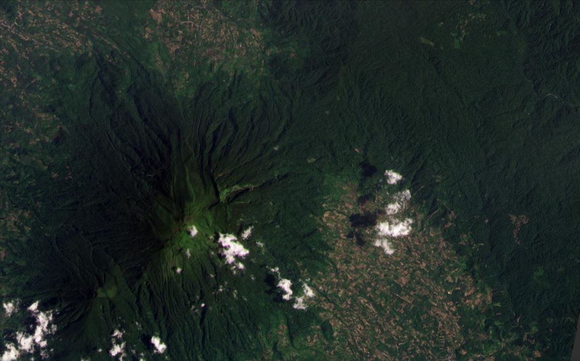
Hopefully, you will be able to use a Juxtapose slider below to compare images from before and after the earthquake:-
.
There are many interesting aspects of these landslides. On the upper part of the slopes they appear to be very many shallow, disrupted failures in the volcanic soils. The vast majority have entered the drainage system, although there are also many isolated landslides too. The landslides appear to have transitioned to become channelised flows with a long runout, presumably driven by the steep topography and a large amount of entrainment. Some of the flows have travelled at least 10 km, with evidence of small amounts of material moving considerably further.
Interestingly, most of the landslides are on the east and northeast sides of Mount Talakmau, with a smaller but still significant cluster to the northwest. This could be a topographic effect, a directional effect associated with the seismic waves or simply a reflection of the fact that the epicentre was to the northeast of the volcano.
It is intriguing that an earthquake has triggered highly mobile, presumably saturated landslides. But this is a humid tropical environment and the soils are made from volcanic materials. Thus, it is likely that they had a high moisture content at the time of the earthquake, allowing some form of liquefaction to occur. These landslides might be described as lahars.
As an aside, there is no evidence of a valley-blocking event that I can see.
This is a fascinating event, worthy of much more detailed investigation. I hope that someone is able to undertake detailed mapping and analysis – it is certainly worthwhile.
.
Acknowledgement
Planet Team (2022). Planet Application Program Interface: In Space for Life on Earth. San Francisco, CA. https://www.planet.com/
 Dave Petley is the Vice-Chancellor of the University of Hull in the United Kingdom. His blog provides commentary and analysis of landslide events occurring worldwide, including the landslides themselves, latest research, and conferences and meetings.