
22 February 2022
Increased landslide activity after low-magnitude earthquakes
Posted by Dave Petley
Increased landslide activity after low-magnitude earthquakes
Over the last 25 years there has been increasing awareness and understanding of landslides triggered by high-magnitude earthquakes. Key events in generating our understanding have included the 1989 Loma Prieta earthquake in California, the 1999 ChiChi earthquake in Taiwan and the 2008 Wenchuan earthquake in China, amongst many others. There has also been an increased awareness of the elevated occurrence of landslides in earthquake affected areas for years or even decades after the main shock.
This understanding has raised the intriguing question as to whether low-magnitude events also have an impact on landslide occurrence in the years following the main shock, and if so, how large is the impact? This is a difficult issue to unpick as the effects are likely to be comparatively small, and will occur over a much more limited area.
A paper just published in Nature Scientific Reports (Martino et al. 2022) explores this issue in relation to the 16 August 2018 Mw=5.1 earthquake in the Molise area of central Italy. This earthquake triggered 84 landslides, primarily consisting of the movement of soil materials on comparatively low angled slopes. I posted about this earthquake at the time, including this image of a landslide triggered by the event:
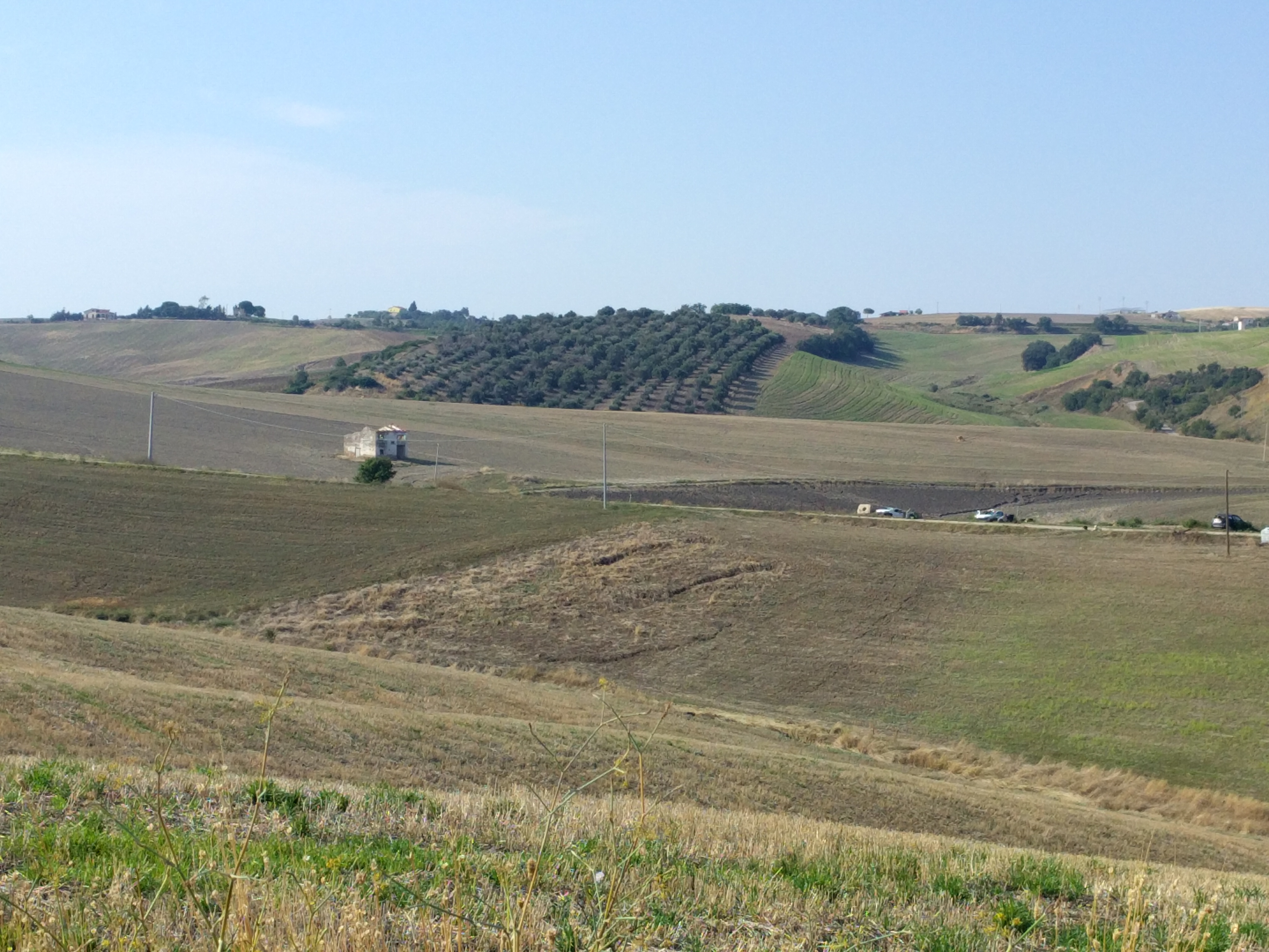
Slope failures triggered by the 16 August Molise earthquake in Italy. Image from Salvatore Martino, University of Roma “Sapienza”.
.
The authors have used differential InSAR analysis to examine the movement of these slopes for the two years prior to the Molise earthquake and in the year after. Landslides in this area are primarily triggered by rainfall, which has a seasonal distribution. Thus, most slope movements occur in the autumn and winter. Over the three years of the study the seasonal rainfall totals were comparable, but in the post-earthquake year there was an increases of 118% in the number of reactivations of the landslides detected using the InSAR technique. The main effect was seen in the first three months after the mainshock. Thereafter it declined over a period of about three months, and by the spring the effect had disappeared.
The authors specifically exclude the possibility that this increase in landslide activity was related to increased rainfall after the earthquake – indeed the autumn and winter was slightly less wet than in the previous two years.
The mechanical cause of this increase in landslide activity is not clear to me. There is a range of possibilities, including weakening of the materials, with strength being regained over time; the retention of localised high pore water pressures in the slope after the earthquake, which then reduce; the effects of aftershocks that of course decline with time; temporary changes in the drainage of the slopes; or the opening of fractures that allow rainfall to infiltrate, but which then clog up.
More research is needed into this effect, both in times of the degree to which it occurs elsewhere and the causes of it. But it is a really interesting result that is important both for our understanding of hazard and the evolution of landscapes.
.
Reference
Martino, S., Fiorucci, M., Marmoni, G.M. et al. 2022. Increase in landslide activity after a low-magnitude earthquake as inferred from DInSAR interferometry. Scientific Reports 12, 2686. https://doi.org/10.1038/s41598-022-06508-w
 Dave Petley is the Vice-Chancellor of the University of Hull in the United Kingdom. His blog provides commentary and analysis of landslide events occurring worldwide, including the landslides themselves, latest research, and conferences and meetings.