
20 May 2014
Dariali Valley landslide: images of the failure
Posted by Dave Petley
Dariali Valley landslide
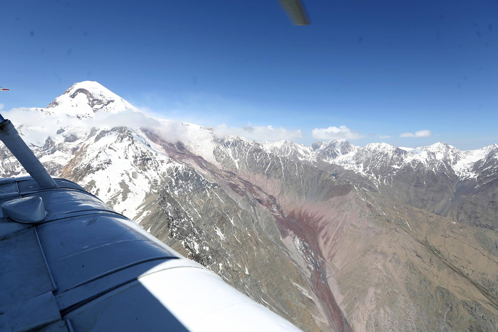
Yesterday I posted about the large, valley-blocking landslide that occurred in the Dariali Valley of Georgia on Saturday, killing up to eight people. Michail Dokukin very kindly posted a link to a site with a set of photographs, taken from the air, of the landslide. This is the upper reaches of the failure, which appears to have started as a large but shallow failure beneath the glacier:
http://cyxymu.livejournal.com/1546134.html
..
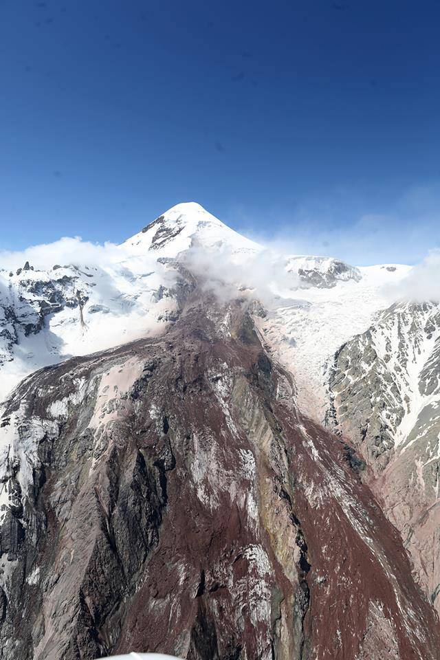
The initial failure appears to have involved both rock and ice, and then to have swept down the valley at high speed judging by the amount of super-elevation on the bends in the channel. It is likely that the flow also entrained sediment from within the channel en route. This is a better view of the source area, with some unfortunately located cloud:
http://cyxymu.livejournal.com/1546134.html
..
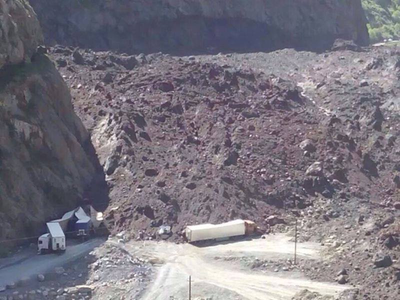
And this image, although low resolution, gives an impression of the scale of the Dariali Valley landslide. Interestingly, there is not much evidence of ice in this mass as far as I can see, and there is little evidence of melting:
http://cyxymu.livejournal.com/1546134.html
..
Media reports that the Dariali Valley landslide was unconnected with the hydroelectric scheme under construction nearby are likely to be correct. There are many other images of the landslide on the livejournal blog – it is well worth a visit.
 Dave Petley is the Vice-Chancellor of the University of Hull in the United Kingdom. His blog provides commentary and analysis of landslide events occurring worldwide, including the landslides themselves, latest research, and conferences and meetings.