
15 February 2011
Riverbank collapse on the lower Murray River in Australia
Posted by Dave Petley
Regular readers may remember that a year or so ago I posted a short piece on an ongoing problem in South Australia associated with riverbank failure on the lower part of the Murray River. These problems have been caused by the exceptionally low water levels caused by the decade-long drought that has recently ended in western Australia. During this time the river has been exceptionally low (indeed lower than ever previously recorded). These low river levels have triggered multiple incipient and actual riverbank collapses. Unfortunately, although water levels are now back at normal levels, the movement of at least some of the sites has not stopped.
I am currently in South Australia participating in an expert panel on this problem, working with the Department for Water, who are the lead agency for the State Hazard. Today we went to look at some of the key sites – my photos below show some of the problems. This is a fascinating issue – indeed I have never seen landslides quite like this before as riverbank failures are usually triggered by high rather than low flow conditions.
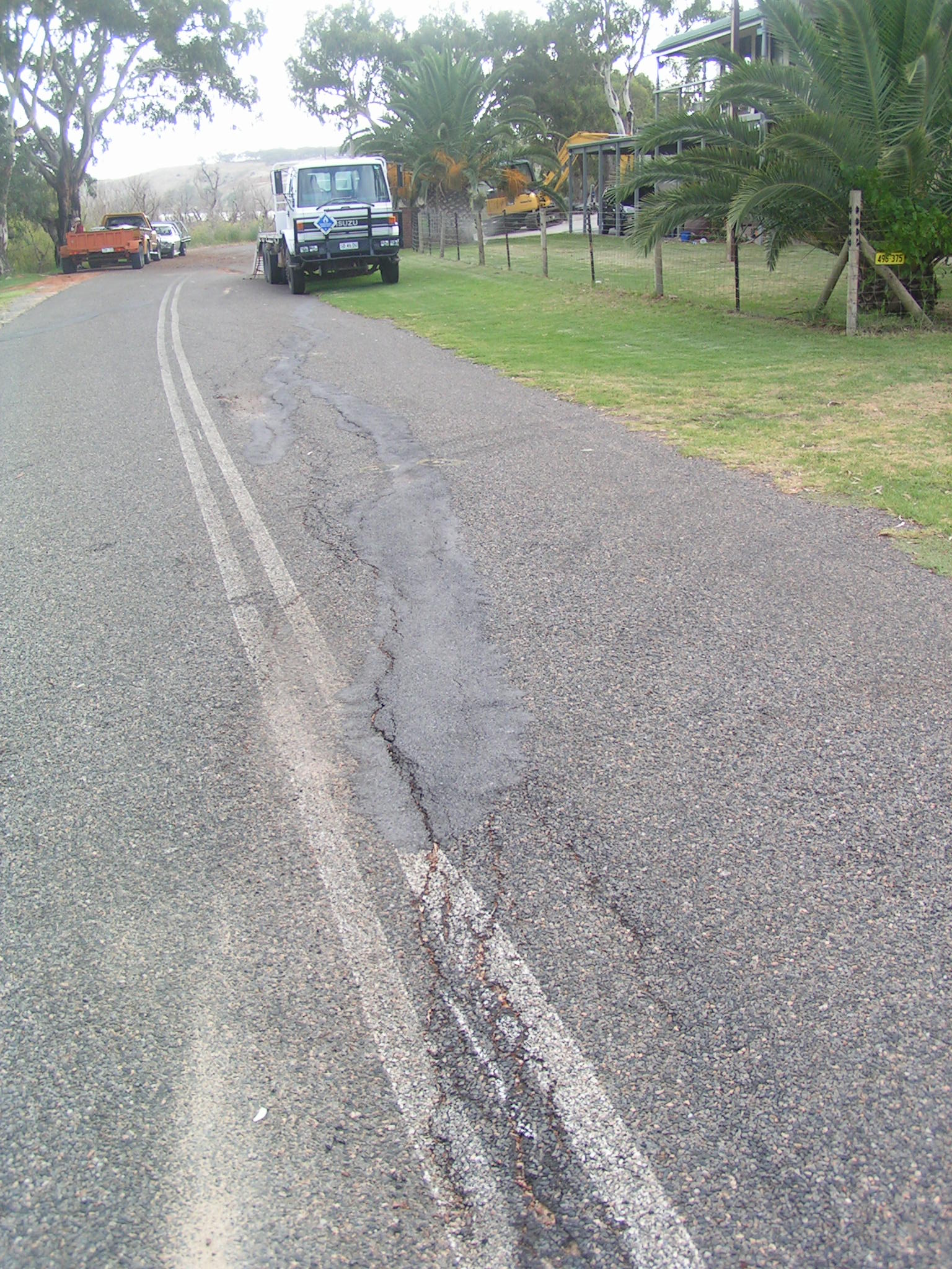
Ongoing deformation that has led to the closure of this road. The river is to the left of the image:
Possible signs of distress in a building – note the dip in both the roof line and the fence from right to left:

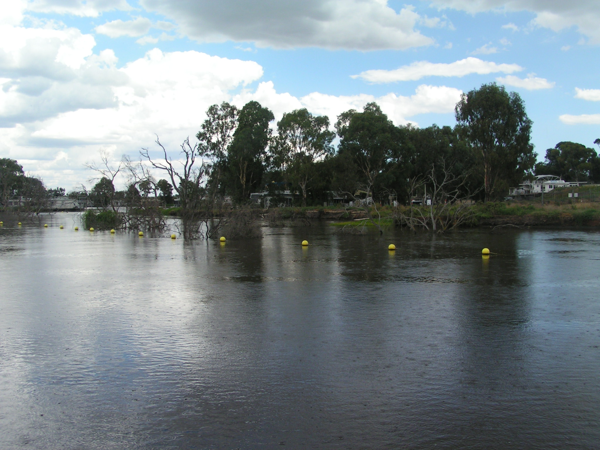
A section in which a number of failures have occurred. Note the trees in the river. The buoys mark the edge of the slide block under the water:
Signs of deformation are quite clear at some sites:

 Dave Petley is the Vice-Chancellor of the University of Hull in the United Kingdom. His blog provides commentary and analysis of landslide events occurring worldwide, including the landslides themselves, latest research, and conferences and meetings.
[…] This post was mentioned on Twitter by Chris Rowan and In Engineering, Daves Landslide Blog. Daves Landslide Blog said: Riverbank collapse on the lower Murray River in Australia: Photos of my visit to South Australia in relation to … http://bit.ly/ePSqtx […]
[…] readers will remember that I visited the Lower Murray river in South Australia earlier this year to spend some time looking at actual and potential riverbank collapses. Riverbank collapses are […]