6 May 2010
EGU Day 3 – Dave Keefers Sergey Soloviev lecture
Posted by Dave Petley
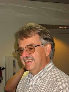
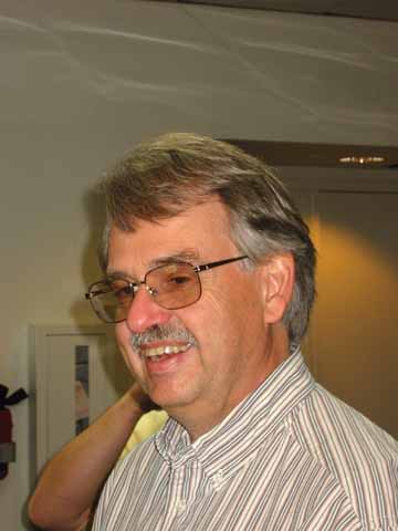
On Wednesday morning I attended the presentation by Dave Keefer, the winner of the Sergei Soloviev medal. Dave has single-handedly defined the field of seismically-induced landslides, an area of great importance. In the lat five years alone such slides have killed over 50,000 people, and the ongoing landslide activity in the aftermath of big earthquake events means that the legacy of the shaking continues for decades after the main shock.
Dave started by showing that in general losses from natural hazards are increasing both in social and economic terms. Seismically-induced landslides are a key component of this. Dave looked at the historic development of research into seismically-induced landslides, dividing the last century into three key phases. The first era was defined as from the beginning of time to 1947, during which time it was increasingly recognised that there was a problem with earthquake induced landslides. However, documentation of events was patchy in almost every case,
The second era was defined as 1948 to 1988, during which “complete” mapping of landslides was initiated, including the development of quantification of landslide impacts. He highlighted three key events in this period:
1964 Prince William Sound earthquake in Alaska, which saw landslides over an area of 270,000 square kilometres, causing 56% of the economic losses and at least 45 0f 130 deaths in the earthquake.
1970 Yungay earthquake in Peru that triggered the Huascaran landslide, which killed 6000 people and travelled over 180 km.
1976 Guatemala earthquake ,which triggered over 50,000 landslides over an area 16,000 square kilometres.
Dave used these data to write 1984 paper based upon 40 historic earthquakes with good data across a wide range of magnitudes with a broad geographic distribution. This paper is of course a classic and, remarkably, subsequent analyses using modern techniques to generate far better datasets have hardly changed the main findings. It is rarely reported that the study also looked at landslide type, finding that 86% of triggered mass movements were disrupted slides and falls on very steep slopes.
Dave also highlighted the importance during this period of the development of the Newmark analysis, which then allowed the development of hazard maps over large areas.
Finally, Dave highlighted the modern era, which has seen detailed mapping of landslide events plus site specific data collection, plus some palaeo analyses. Dave highlighted three key earthquakes:
1989 Loma Prieta, which saw the first GIS based landslide inventory, in this case for the Santa Cruz mountains. This showed an exponential decay of landslide concentration with distance from epicentre and from fault.
1994 Northridge: similar analyses but more detailed than Loma Prieta, but this time developed to produce a regional scale Newmark analysis based hazard map, calibrated using the actual landslides.
1999 Chi—Chi earthquake in Taiwan, which remains the best studied seismically-induced landslide event of all time. Most up to date analyses suggest that 13,000 landslides were triggered. Dave described this events as unleashing an explosion of research on this topic.
Finaly, Dave highlighted the need to overcome our current limitations of knowledge, in particular highlighting a number of research needs:
1. Urgent need to locate accelographs onto slopes to measure ground motion modification by slope properties;
2. The need to develop automated mapping of landslides from remote sensing to allow the development of proper inventories;
3. The need to further develop slope-stability and hazard mapping techniques;
4. More detailed modelling and analysis of landslide mechanisms
5. The need for complete mapping and characterisation of a great (M>8) earthquake, when such an event occurs.
In questions Dave highlighted the urgent need for better data from landslide inventories and on site specific effects.


 Dave Petley is the Vice-Chancellor of the University of Hull in the United Kingdom. His blog provides commentary and analysis of landslide events occurring worldwide, including the landslides themselves, latest research, and conferences and meetings.