
11 September 2009
Real time landslide monitoring in New Zealand – the Utiku landslide
Posted by Dave Petley
I have posted previously about the near real time landslide monitoring project that is being undertaken on the Taihape landslide by the GEONET team in New Zealand. The most amazing aspect of this project is that the monitoring data is streamed onto a web server and can then be viewed using a rather neat online graphing package (available here).
The great news is that the team have now instrumented another landslide on North Island, this time on a slightly more active slide at Utiku, which is not far from Taihape. Once again the data is being put online in near real time, and once again it can be viewed using the graphing package. This is available here.
This is how Geonet describes Utiku:
“The Utiku landslide has been classified as a deep-seated translational block-slide earth-flow. This classification refers to the characteristics of the landslide. Deep-seated refers to the depth of movement (depth to the landslide slip-plane); the slip plane of the Utiku landslide has been recorded at 20 m below ground level at the toe (bottom) and increasing to 65 m towards the back scarp (top). The term translational refers to the movement style of the landslide, where it moves as a relatively intact mass (raft) of material, along a planar zone of weakness. In this case, the zone of weakness corresponds to a thin clay layer thought to represent a bedding plane within the local sandstone . The term block-slide and earth-flow describe the landslide structure and movement mechanisms.”
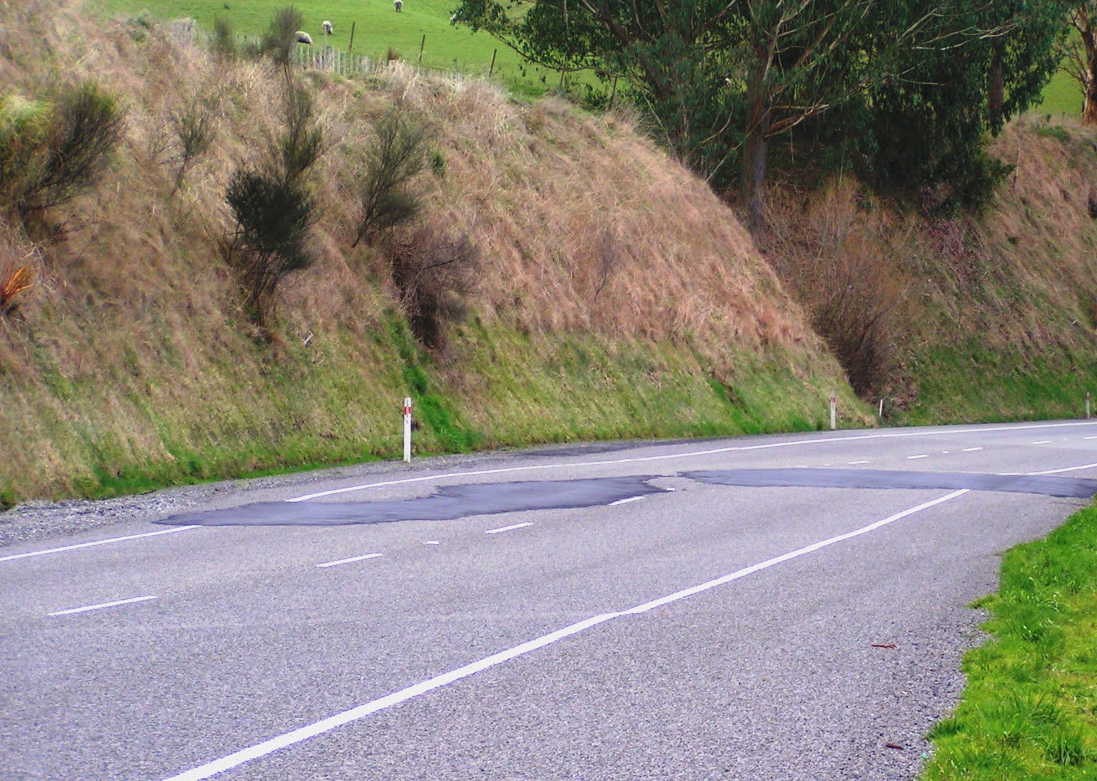
This is quite an old slide (at least 1,800 years, and possibly much older), but it remains active. The road that crosses the slide shows some minor signs of deformation that has required patching:
 It will be very interesting to see how this landslide behaves as groundwater levels increase.
 Dave Petley is the Vice-Chancellor of the University of Hull in the United Kingdom. His blog provides commentary and analysis of landslide events occurring worldwide, including the landslides themselves, latest research, and conferences and meetings.