
20 May 2008
Beichuan landslides from Google Earth
Posted by Dave Petley
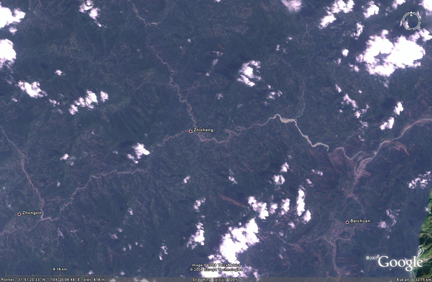
The FORMOSAT-2 image of the Beichuan area is now available on Google Earth (see here). The image is interesting as it shows that the landslides were incredibly spatially variable – for example, in the Beichuan area (which is junction of the rivers on the middle right of the image – the Google label is a little way from the main part of the town) the occurrence of landslides is very high and the river is blocked in at least three places. Elsewhere, the occurrence of landslides is much lower.
 FORMOSAT-2 image of the Beichuan area, from Google Earth. Click for a larger view.
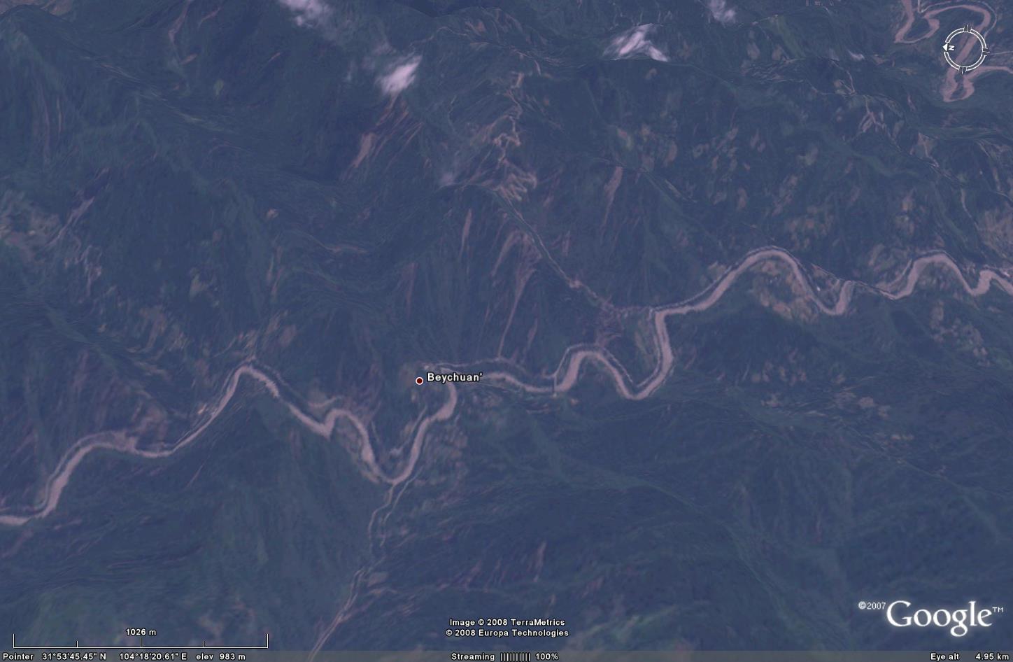
This allows a first attempt at perspective view of the Beichuan area using the Google Earth rather basic terrain model. Note that the imagery and the model aren’t quite aligned correctly, so the picture is a bit confused, but it is a good starting place. I have annotated the image below to indicate the major landslides and places where the river is blocked. As usual, click on the image to get a decent view (it will open in a new window).

Finally, as mentioned above elsewhere the density of landslides is lower. However, close inspection shows that there are a large number of landslides in the landscape. As the image below shows, these display the typical features of mass movements triggered by earthquakes, which is that they start right at the top of the slope near the ridge, then travel most or all of the way down the slope. This is because the maximum shaking occurs at the ridges due to a process known as topographic amplification. This is consistent with the observations of witnesses, who said things like (please excuse the link to the Sun): “The mountains just seemed to explode as if they’d been detonated with dynamite.”
 FORMOSAT-2 image of an area near Zicheng, using the Google Earth terrain model to give a perspective view. Note the landslides in the middle of the image start from the ridge and extend to the valley floor. Click for a larger view.
 Dave Petley is the Vice-Chancellor of the University of Hull in the United Kingdom. His blog provides commentary and analysis of landslide events occurring worldwide, including the landslides themselves, latest research, and conferences and meetings.