
4 January 2018
Scientists help Costa Rican community manage dwindling water supply
Posted by Lauren Lipuma

A stream in the Potrero-Caimital watershed in Costa Rica during the dry (top) and wet (bottom) season. Residents depend on high rainfall during the wet season to provide enough water to get them through the four-month long dry season.
Credit: Silja Hund.
By Kimberly Hickok
A new tool could help local authorities in Costa Rica prepare for periods of drought during the dry season based on rainfall during the wet season, scientists reported last month at the 2017 American Geophysical Union Fall Meeting in New Orleans.
As part of an interdisciplinary, international research team called FurturAgua, researchers from the University of British Columbia and Simon Fraser University have developed a tool they call the Groundwater Recharge Indicator for two watersheds in the Guanacaste Province of Costa Rica. The Groundwater Recharge Indicator can help community leaders prepare for the dry season by providing an estimate of water availability based on rainfall during the wet season. With this new tool, authorities can implement water conservation efforts such as collecting rainwater or using surface water instead of groundwater before the dry season begins and potential droughts occur, according to the researchers.
In areas with few resources, like rural Costa Rica, “a drought can kill people, millions of people…so you really cannot exaggerate the importance of water in a developing country,” said Feyera Hirpa, an environmental engineer at the University of Oxford who studies water resources in impoverished communities in Kenya who was not involved with the new research.
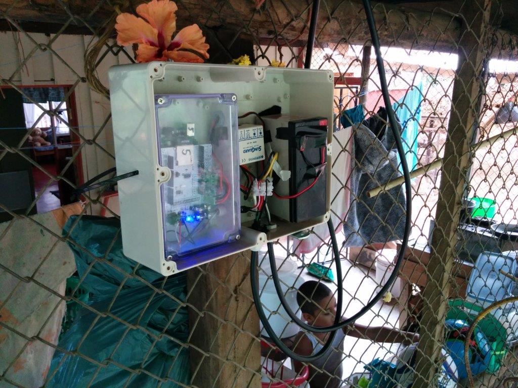
Researchers installed water monitors along rivers and streams in the Potrero-Caimital watershed in Costa Rica. Residents are concerned about water availability and were happy to let the researchers install monitors on the side of their houses.
Credit: Silja Hund.
The researchers developed the Groundwater Recharge Indicator for the Potrero-Caimital watersheds and aquifer. Along with the rest of Costa Rica, this area experiences distinct wet and dry seasons. The dry season lasts from December to March, and the wet season lasts from April to November.
Although the wet season lasts for eight months, some years there isn’t enough rain to get through the dry season, according to the researchers. “That’s when a lot of the communities [in this area] start struggling,” said Silja Hund, a hydrologist at the University of British Columbia who led the research. Communities in this area use groundwater for both agricultural and residential use, and that causes their wells to run dry, Hund said.
Hund and her colleagues wanted to better understand the impacts of climate variability and water use on water resources and use that knowledge to help communities come up with ways to effectively adapt to seasonal droughts.
The research team set up water monitoring stations at five river sites, three groundwater wells and a central meteorological station in the Potrero-Caimital watersheds. They collected data on streamflow and water level for two and a half years.
The researchers also collected historical water use data from 2005 to 2016. They used the data from their monitors and the historical water use data to create a model of water use changes over time.

Researchers worked with locals to install water monitors along rivers and streams in the Potrero-Caimital watershed in Costa Rica.
Credit: Silja Hund.
They found that water use had increased by about 33 percent from 2005 to 2016, which was due to population increases during that period. The population in this area continues to grow, so increased water use will likely become more problematic, Hund said.
The researchers also found that the variability in rainfall and drought from year to year is influenced by the El Niño Southern Oscillation (ENSO), a periodic variation in sea surface temperature and winds that primarily affects the tropical regions of the Pacific Ocean. Droughts occurred in this area after extreme El Niño years, which are warm, while high precipitation during La Niña years, which are cooler, would provide enough water for the community to make it through the dry season.
They used the water monitors to develop the Groundwater Recharge Indicator, which is a model that consists of two graphs depicting cumulative rainfall and cumulative groundwater, respectively, over one year. Communities can use the graphs to predict water availability in the dry season based on cumulative rainfall at any point during the wet season.
Hund and her colleagues have handed the water monitors over to the local university and stakeholders in that region of Costa Rica, who will continue to use them to learn about and monitor their water resources.
— Kimberly Hickok is a graduate student in the Science Communication program at UC Santa Cruz. Follow her on Twitter at @kimdhickok.